Stambaugh Township near Crystal Falls in Iron County, Michigan — The American Midwest (Great Lakes)
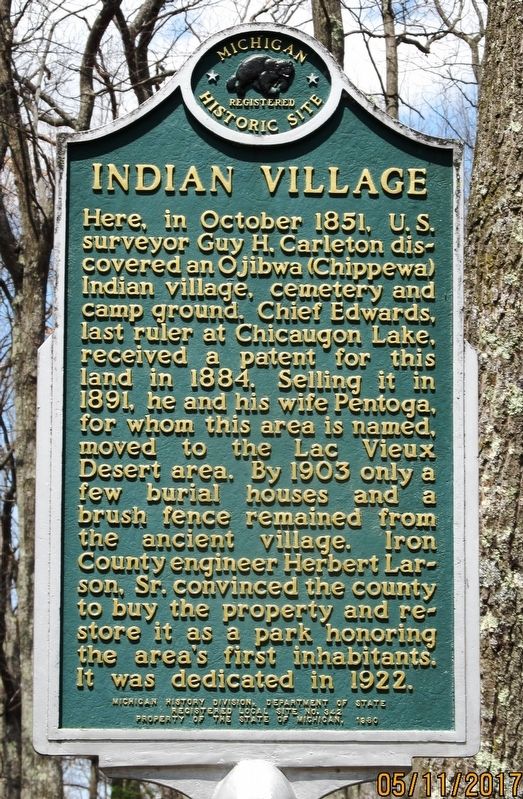
Indian Village
Photographed by Paul Fehrenbach, May 11, 2017
1. Indian Village Marker
Erected 1980 by Michigan History Division, Department of State. (Marker Number L0342.)
Topics and series. This historical marker is listed in these topic lists: Indigenous Peoples and Communities • Settlements & Settlers. In addition, it is included in the Michigan Historical Commission series list. A significant historical year for this entry is 1851.
Location. 46° 2.449′ N, 88° 30.437′ W. Marker is near Crystal Falls, Michigan, in Iron County. It is in Stambaugh Township. It can be reached from County Road 424 half a mile north of Pentoga Trail. Marker is located in the campground area of Pentoga Park, approximately 9 miles south of Iron River, MI. Touch for map. Marker is in this post office area: Gaastra MI 49927, United States of America. Touch for directions.

Regionally, this marker is on the Upper Peninsula. It is also in the American Midwest. Globally, it is in North America, the Great North Woods, the Western Hemisphere, the Western World, and the Anglosphere. Historically, it finds itself in what was once the Northwest Territory.
Other nearby markers. At least 8 other markers are within 6 miles of this marker, measured as the crow flies: Pentoga Park (a few steps from this marker); Larson Park (approx. 4.9 miles away);
this page online
Photographed by Paul Fehrenbach, May 11, 2017
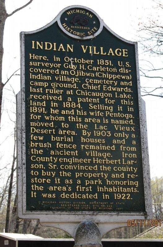
2. Indian Village Marker
reverse side of two-sided marker
Photographed by Paul Fehrenbach, May 11, 2017
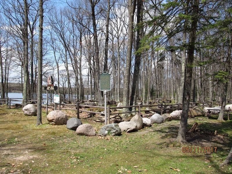
3. Indian Village Marker
Photographed by Paul Fehrenbach, May 11, 2017
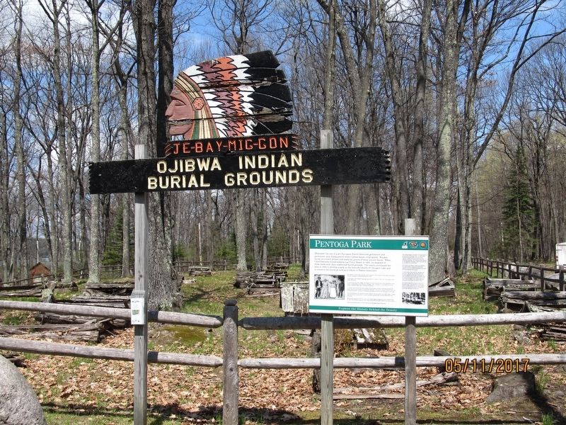
4. Indian Village Marker
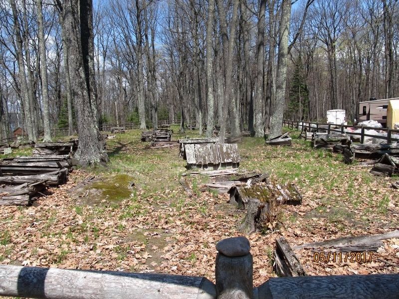
Photographed by Paul Fehrenbach, May 11, 2017
5. Indian Village Burial Grounds
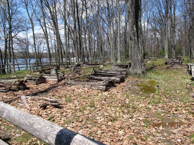
Photographed by Paul Fehrenbach, May 11, 2017
6. Indian Village Burial Grounds
Credits. This page was last revised on February 7, 2023. It was originally submitted on May 16, 2017, by Paul Fehrenbach of Richfield, Wisconsin. This page has been viewed 993 times since then and 101 times this year. Photos: 1, 2, 3, 4, 5, 6. submitted on May 16, 2017, by Paul Fehrenbach of Richfield, Wisconsin. • Bill Pfingsten was the editor who published this page.
