Yountville in Napa County, California — The American West (Pacific Coastal)
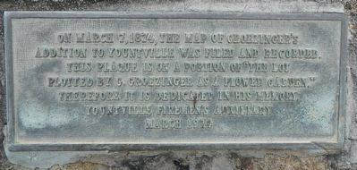
Map of Groezinger's Addition
Yountville Firemen's Auxiliary
March 1974
Erected 1974 by Yountville Firemen's Auxiliary.
Topics. This historical marker is listed in this topic list: Settlements & Settlers. A significant historical date for this entry is March 7, 1874.
Location. 38° 24.108′ N, 122° 21.642′ W. Marker is in Yountville, California, in Napa County. Marker is at the intersection of Washington Street and Yount Street when traveling north on Washington Street. Touch for map. Marker is at or near this postal address: 6516 Washington Street, Yountville CA 94599, United States of America. Touch for directions.
Other nearby markers. At least 8 other markers are within walking distance of this marker. George Yount's Millstones (a few steps from this marker); Yountville Community Hall (a few steps from this marker); Groezinger Winery (about 400 feet away, measured in a direct line); Flags over California in 1870 (about 400 feet away); Yountville (about 700 feet away); Yountville's First Fire House (approx. ¼ mile away); Veterans Home of California (approx. 0.3 miles away); The Pioneer Christian Church Bell (approx. half a mile away). Touch for a list and map of all markers in Yountville.
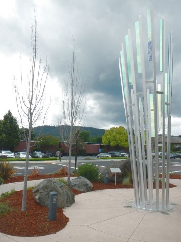
More about this marker. This marker is located in front of the Yountville Community Center.
Credits. This page was last revised on May 20, 2017. It was originally submitted on May 20, 2017, by Barry Swackhamer of Brentwood, California. This page has been viewed 254 times since then and 37 times this year. Photos: 1, 2. submitted on May 20, 2017, by Barry Swackhamer of Brentwood, California.

