Montpelier Station in Orange County, Virginia — The American South (Mid-Atlantic)
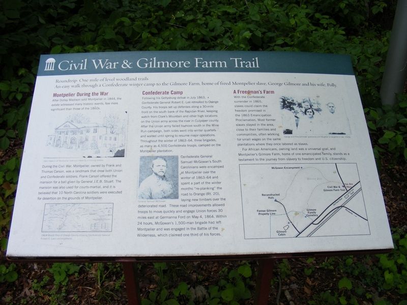
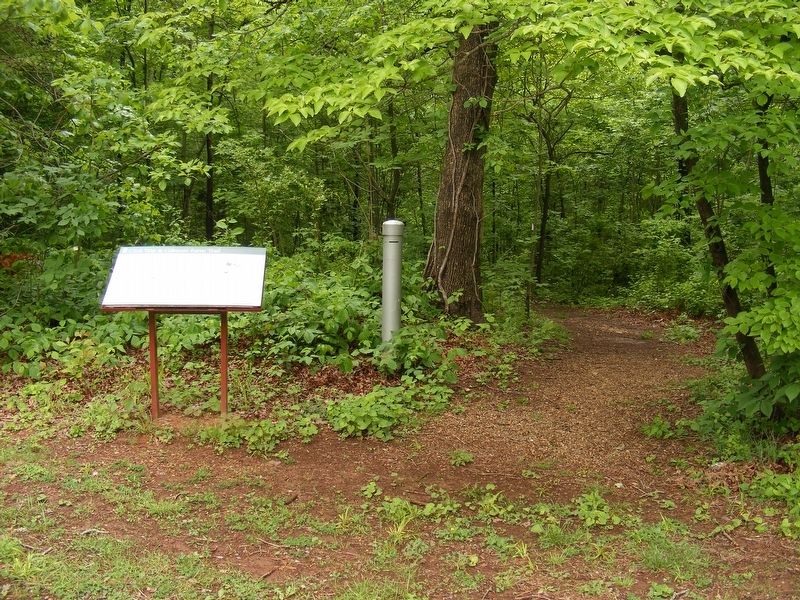
Civil War & Gilmore Farm Trail
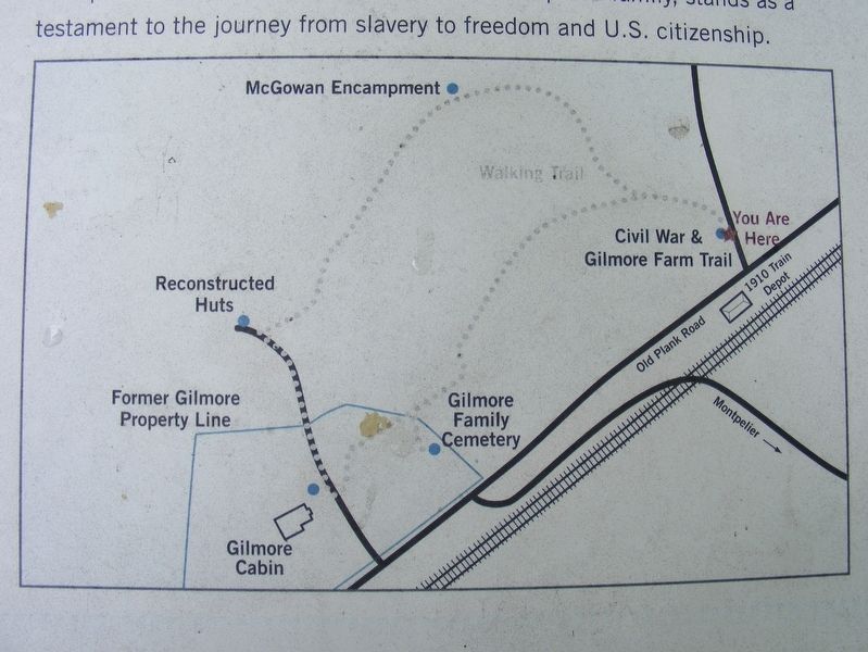
Roundtrip: One mile of level woodland trails
An easy walk through a Confederate winter camp to the Gilmore Farm, home of freed Montpelier slave, George Gilmore and his wife, Polly.
Montpelier During the War
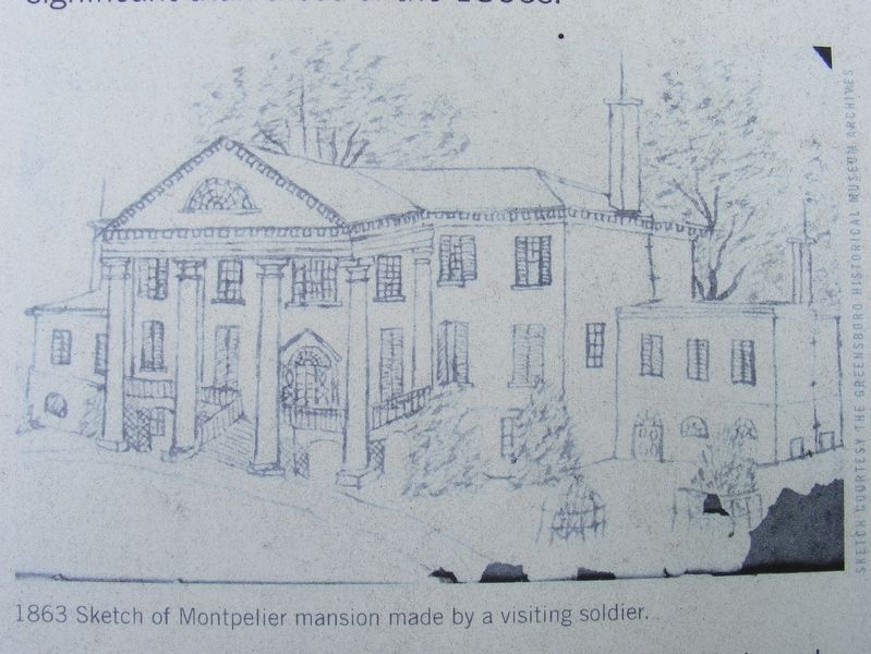
After Dolley Madison sold Montpelier in 1844, the estate witnessed many historic events, few more significant than those of the 1860s.
During the Civil War, Montpelier, owned by Frank and Thomas Carson, was a landmark that drew both Union and Confederate soldiers. Frank Carson offered the mansion for a ball given by General J.E.B. Stuart. The mansion was also used for courts-martial, and it is believed that 10 North Carolina soldiers were executed for desertion on the grounds of Montpelier.
Confederate Camp
Following his Gettysburg defeat in July 1863, Confederate General Robert E. Lee retreated to Orange County. His troops set up defenses along a 30-mile front on the south bank of the Rapidan River, keeping watch from Clark's Mountain and other high locations on the Union army across the river in Culpeper county. After the Union army failed to move south in the Mine Run campaign, both sides went into winter quarters and waited until spring to resume major operations. Throughout the winter of 1863-64, three brigades, as many as 4,500 Confederate troops, camped on the Montpelier plantation.
Confederate General Samuel McGowan's South Carolinians were encamped at Montpelier over the winter of 1863-64 and spent a part of the winter months "re-planking" the road to Orange (Rt. 20), laying new timbers over the deteriorated road. These road improvements allowed troops to move quickly and engage Union forces 30 miles east at Germanna Ford on May 4, 1864. Within 24 hours, McGowan's 1,500-man brigade had left Montpelier and was engaged in the Battle of the Wilderness, which claimed one-third of his forces.
A Freedman's Farm
With the Confederate surrender in 1865, slaves could claim the freedom promised in the 1863 Emancipation Proclamation. Most former slaves stayed in the area, close to their families and communities, often working for small wages on the same plantations where they once labored as slaves.
For African Americans, owning land was a universal goal, and Montpelier's Gilmore Farm, home of one emancipated family, stands as a testament to the journey from slavery to freedom and U.S. citizenship.
Erected 2013 by Montpelier Foundation.
Topics. This historical marker is listed in these topic lists: African Americans • War, US Civil.
Location. 38° 13.749′ N, 78° 10.614′ W. Marker is in Montpelier Station, Virginia, in Orange County. Marker can be reached from the intersection of Constitution Highway (Virginia Route 20) and Montpelier Road (County Route 693), on the right when traveling west. Touch for map. Marker is in this post office area: Montpelier Station VA 22957, United States of America. Touch for directions.
Other nearby markers. At least 8 other markers are within walking distance of this marker. Confederate Camp & Freedman's Farm Trail (a few steps from this marker); Madison-Barbour Rural Historic District (within shouting distance of this marker); Montpelier Train Station (about 300 feet away, measured in a direct line); Montpelier Flag Stop (about 300 feet away); Civil War Encampment (approx. ¼ mile away); Gilmore Family Cemetery (approx. ¼ mile away); Dolley Madison (approx. ¼ mile away); Gilmore Farm (approx. 0.3 miles away). Touch for a list and map of all markers in Montpelier Station.
Related marker. Click here for another marker that is related to this marker. Previous marker at this site: Confederate Camp & Freedman's Farm Trail
Also see . . . ECW Weekender: Montpelier Civil War Trail. Emerging Civil War website entry (Submitted on November 20, 2022, by Larry Gertner of New York, New York.)
Credits. This page was last revised on November 20, 2022. It was originally submitted on May 22, 2017, by Pete Payette of Orange, Virginia. This page has been viewed 501 times since then and 46 times this year. Photos: 1, 2, 3, 4. submitted on May 22, 2017, by Pete Payette of Orange, Virginia. • Bernard Fisher was the editor who published this page.


