
Near South Glengarry in Stormont Dundas and Glengarry United Counties, Ontario — Central Canada (North America)
"Cariboo" Cameron
1820-1888
Photographed by Kevin Craft, May 19, 2017
1. "Cariboo" Cameron Marker
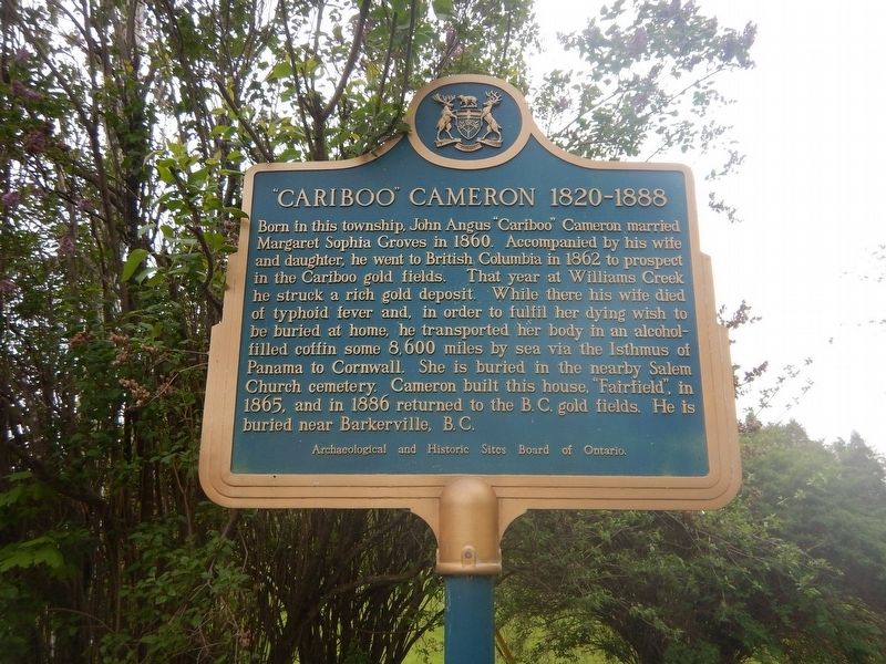
Born in this township, John Angus "Cariboo" Cameron married Margaret Sophia Groves in 1860. Accompanied by his wife and daughter, he went to British Columbia in 1862 to prospect in the Cariboo gold fields. That year at Williams Creek he struck a rich gold deposit. While there his wife died of typhoid fever and, in order to fulfil her dying wish to be buried at home, he transported her body in an alcohol-filled coffin some 8,600 miles by sea via the Isthmus of Panama to Cornwall. She is buried in the nearby Salem Church cemetery. Cameron built this house, "Fairfield", in 1865, and in 1886 returned to the B.C. gold fields. He is buried near Barkerville, B.C.
Erected by Archaeological and Historic Sites Board of Ontario.
Topics and series. This historical marker is listed in these topic lists: Exploration • Industry & Commerce • Natural Resources. In addition, it is included in the Canada, Ontario Heritage Trust series list. A significant historical year for this entry is 1820.
Location. 45° 3.364′ N, 74° 34.067′ W. Marker is near South Glengarry, Ontario, in Stormont Dundas and Glengarry United Counties. It is
this page online

Regionally, this marker is in Eastern Ontario. It is also in Central Canada. Globally, it is in North America, the Western Hemisphere, the Western World, and the Anglosphere. Historically, it finds itself in what was once a British colony, the Viceroyalty of New France, the Haudenosaunee (Iroquois) Confederacy, and Rupert’s Land.
Other nearby markers. At least 8 other markers are within 10 kilometers of this marker, measured as the crow flies: Lieutenant-Colonel John Macdonell (approx. 4.4 kilometers away); Inverarden (approx. 8.5 kilometers away); War of 1812 (approx. 9.2 kilometers away in the U.S.); On This Site was Built in 1812 a Blockhouse (approx. 9.2 kilometers away in the U.S.); Presbyterian Church (approx. 9.3 kilometers away in the U.S.); a different marker also named War of 1812 (approx. 9.4 kilometers away in the U.S.); Fort Covington, New York
Photographed by Kevin Craft, May 19, 2017
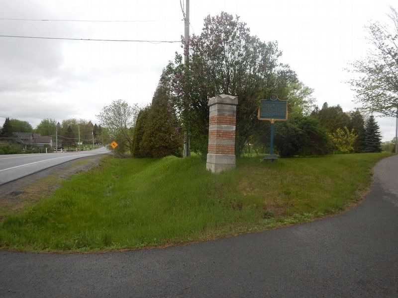
2. Wideview of "Cariboo" Cameron Marker
Regarding "Cariboo" Cameron. A descendant of one of Glengarry's pioneer families, John Angus Cameron spent many years in the Cariboo fields of British Columbia prospecting for gold. His exploits and adventures made him something of a folk hero in his native county.
Photographed by Kevin Craft, May 19, 2017
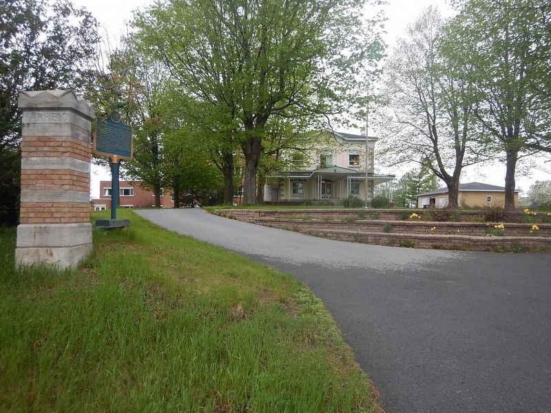
3. Fairfield residence
Credits. This page was last revised on June 1, 2017. It was originally submitted on May 22, 2017, by Kevin Craft of Bedford, Quebec. This page has been viewed 938 times since then and 45 times this year. Photos: 1, 2, 3. submitted on May 22, 2017, by Kevin Craft of Bedford, Quebec.
