Lee Hall in Newport News, Virginia — The American South (Mid-Atlantic)
Skiffes Creek
The Defense of Mulberry Island
— 1862 Peninsula Campaign —
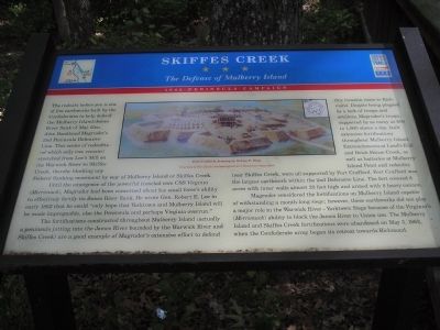
Until the emergence of the powerful ironclad ram CSS Virginia (Merrimack), Magruder had been concerned about his small force’s ability to effectively fortify its James River flank. He wrote Gen. Robert E. Lee in early 1862 that he could “only hope that Yorktown and Mulberry Island will be made impregnable, else the Peninsula and perhaps Virginia overrun.”
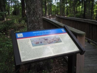
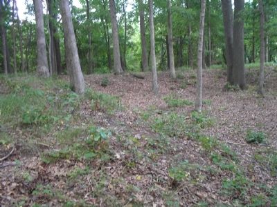
The fortifications constructed throughout Mulberry Island (actually a peninsula jutting into the James River bounded by the Warwick River and Skiffes Creek) are a good example of Magruder’s extensive effort to defend this invasion route to Richmond. Despite being plagued by a lack of troops and artillery, Magruder’s troops, supported by as many as 600 to 1,000 slaves a day, built extensive fortifications throughout Mulberry Island. Entrenchments at Land’s End and Brick House Creek, as well as batteries at Mulberry Island Point and redoubts near Skiffes Creek, were all supported by Fort Crawford. Fort Crawford was the largest earthwork within the 2nd Defensive Line. The fort covered 8 acres with inner walls almost 20 feet high and armed with 8 heavy cannon.
Magruder considered the fortifications on Mulberry Island capable of withstanding a month-long siege; however, these earthworks did not play a major role in the Warwick River–Yorktown Siege because of the Virginia’s (Merrimack) ability to block the James River to Union use. The Mulberry Island and Skiffes Creek fortifications were abandoned on May 3, 1862, when the Confederate army began its retreat towards Richmond. (caption)
Fort Crafford, drawing by Sidney E. King. Courtesy of Fort Eustis Archaeological and Historical Association
Erected by Virginia Civil War Trails.
Topics and series. This historical marker is listed in this topic list: War, US Civil. In addition, it is included in the Virginia Civil War Trails series list. A significant historical date for this entry is May 3, 1862.
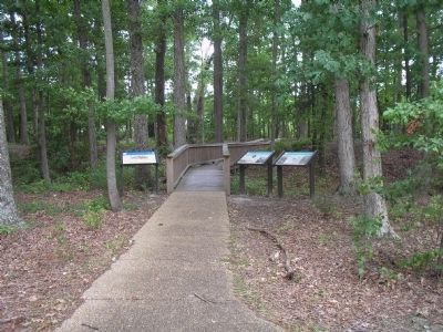
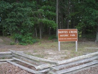
Location. 37° 10.663′ N, 76° 34.543′ W. Marker is in Newport News, Virginia. It is in Lee Hall. Marker can be reached from Enterprise Drive, 0.4 miles west of Warwick Boulevard (U.S. 60), on the left when traveling west. Located in Skiffes Creek Historic Park. Touch for map. Marker is at or near this postal address: 266 Enterprise Drive, Newport News VA 23603, United States of America. Touch for directions.
Other nearby markers. At least 8 other markers are within walking distance of this marker. Stanley Hundred (a few steps from this marker); Balthrope (a few steps from this marker); Mulberry Point (approx. 0.4 miles away); Fort Eustis (approx. 0.4 miles away); General Abraham Eustis (approx. half a mile away); a different marker also named Fort Eustis (approx. half a mile away); 0-6-0T Side-Tank Switcher (approx. ¾ mile away); Railroad Maintenance Cars (approx. ¾ mile away). Touch for a list and map of all markers in Newport News.
Credits. This page was last revised on February 1, 2023. It was originally submitted on August 17, 2008, by Bill Coughlin of Woodland Park, New Jersey. This page has been viewed 3,310 times since then and 76 times this year. Last updated on April 20, 2022, by James Dean of Chesterfield, Virginia. Photos: 1, 2, 3, 4, 5. submitted on August 17, 2008, by Bill Coughlin of Woodland Park, New Jersey. • Bernard Fisher was the editor who published this page.
