Cornwall in Stormont, Dundas and Glengarry United Counties, Ontario — Central Canada (North America)
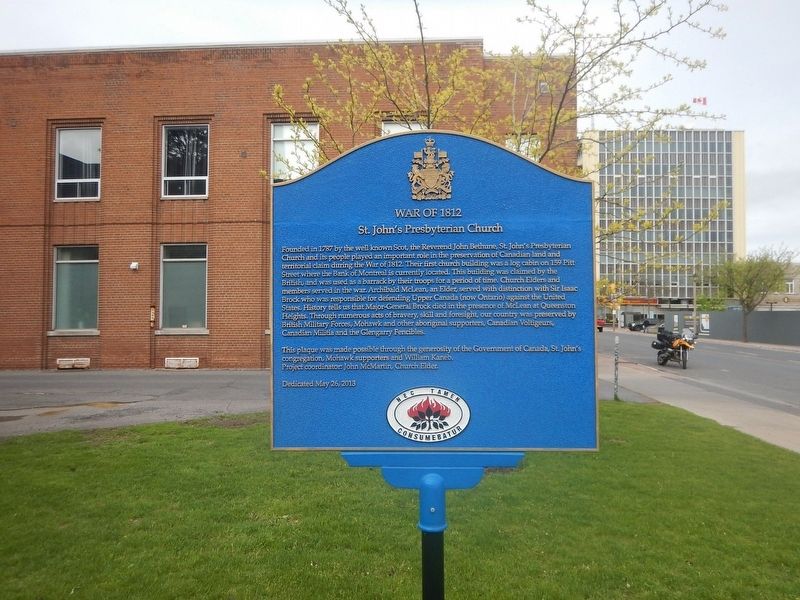
War of 1812
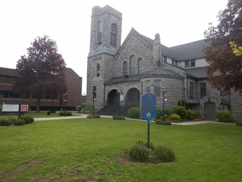
St. John's Presbyterian Church
Founded in 1787 by the well known Scot, the Reverend John Bethune, St. John's Presbyterian Church and its people played an important role in the preservation of Canadian land and territorial claim during the war of 1812. Their first church building was a log cabin on 159 Pitt Street where the Bank of Montréal is currently located. This building was claimed by the British, and was used as a barrack by their troops for a period of time. Church Elders and members served in the war. Archibald McLean, an Elder, served with distinction with Sir Isaac Brock who was responsible for defending Upper Canada (now Ontario) against the United States. History tells us that Major-General Brock died in the presence of McLean at Queenston Heights. Through numerous acts of bravery, skill and foresight, our country was preserved by British Military Forces, Mohawk and other aboriginal supporters, Canadian Voltigeurs, Canadian Militia and the Glengarry Fencibles.
Erected 2013 by Government of Canada.
Topics. This historical marker is listed in these topic lists: Churches & Religion • War of 1812. A significant historical year for this entry is 1787.
Location. 45° 1.106′ N, 74° 43.663′ W. Marker is in Cornwall, Ontario, in Stormont, Dundas and Glengarry United Counties . Marker is on Second Street East, 0.1 kilometers east of Pitt Street, on the right when traveling east. Touch for map. Marker is at or near this postal address: 28 Second Street East, Cornwall ON K6H 1Y3, Canada. Touch for directions.
Other nearby markers. At least 8 other markers are within walking distance of this marker. The Cornwall Orphanage / L'orphelinat de Cornwall (about 90 meters away, measured in a direct line); United Empire Loyalists (about 90 meters away); New York Cafe / Le Café New York (about 120 meters away); The Rossmore House / La Maison Rossmore (about 120 meters away); District Court-House and Gaol 1833 (approx. 0.3 kilometers away); United Counties of Stormont Dundas and Glengarry (approx. 0.3 kilometers away); The Rev. John Strachan in Cornwall (approx. 0.4 kilometers away); The Founding of Cornwall (approx. 0.4 kilometers away). Touch for a list and map of all markers in Cornwall.
Credits. This page was last revised on June 1, 2017. It was originally submitted on May 23, 2017, by Kevin Craft of Bedford, Quebec. This page has been viewed 249 times since then and 14 times this year. Photos: 1, 2. submitted on May 23, 2017, by Kevin Craft of Bedford, Quebec.

