Cornwall in Stormont, Dundas and Glengarry United Counties, Ontario — Central Canada (North America)
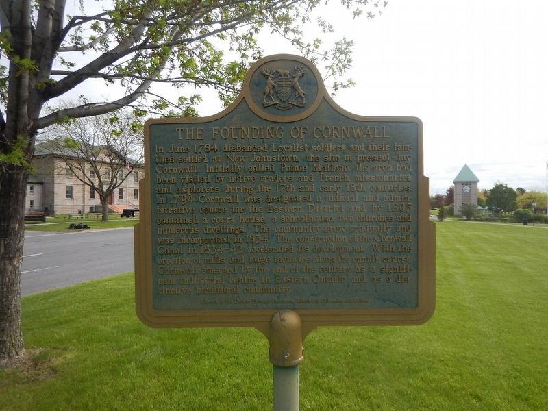
The Founding of Cornwall
In June 1784 disbanded Loyalist soldiers and their families settled at new Johnstown, the site of present-day Cornwall. Initially called Pointe Maligne, the area had been visited by native traders and French missionaries and explorers during the 17th and early 18th centuries. In 1794 Cornwall is designated a judicial and administrative center for the Eastern District and by 1805 contained a courthouse, a schoolhouse, two churches and numerous dwellings. The community grew gradually and was incorporated in 1834. The construction of the Cornwall Canal in 1834–42 accelerated its development. With the erection of mills and large factories along the canal's course, Cornwall emerged by the end of the century as a significant industrial center in Eastern Ontario and as a distinctive bicultural community.
Erected by Ontario Heritage Foundation.
Topics. This historical marker is listed in these topic lists: Settlements & Settlers • Waterways & Vessels. A significant historical month for this entry is June 1784.
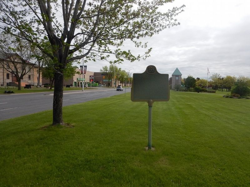
Location. 45° 0.886′ N, 74° 43.679′ W. Marker is in Cornwall, Ontario, in Stormont, Dundas and Glengarry United Counties. Marker is on Water Street West (County Highway 2) 0.1 kilometers west of Pitt Street, on the right when traveling east. Marker is located in Lamoureux Park. Touch for map. Marker is in this post office area: Cornwall ON K6J 3P2, Canada. Touch for directions.
Other nearby markers. At least 8 other markers are within walking distance of this marker. The Cornwall Canal / Le canal de Cornwall (a few steps from this marker); Cornwall Canal (a few steps from this marker); Cornwall's Historic Waterfront (within shouting distance of this marker); District Court-House and Gaol 1833 (within shouting distance of this marker); United Counties of Stormont Dundas and Glengarry (about 90 meters away, measured in a direct line); Cornwall & S.D.G. 1784-2009 (about 90 meters away); John Baker (about 150 meters away); Ivy Hall (approx. 0.3 kilometers away). Touch for a list and map of all markers in Cornwall.
Credits. This page was last revised on June 1, 2017. It was originally submitted on May 23, 2017, by Kevin Craft of Bedford, Quebec. This page has been viewed 200 times since then and 11 times this year. Photos: 1, 2. submitted on May 23, 2017, by Kevin Craft of Bedford, Quebec.

