Bradford Woods in Allegheny County, Pennsylvania — The American Northeast (Mid-Atlantic)
Borough of Bradford Woods
May 3, 1915
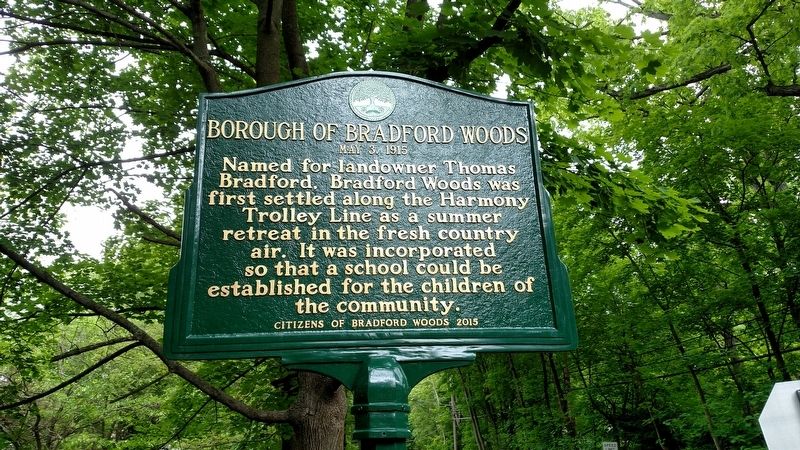
Photographed by Mike Wintermantel, May 24, 2017
1. Borough of Bradford Woods Marker
Erected 2015 by Citizens of Bradford Woods.
Topics. This historical marker is listed in this topic list: Notable Places.
Location. 40° 38.249′ N, 80° 4.92′ W. Marker is in Bradford Woods, Pennsylvania, in Allegheny County. It is at the intersection of Wexford Run Road and Bradford Road, on the right when traveling south on Wexford Run Road. Touch for map. Marker is in this post office area: Wexford PA 15090, United States of America. Touch for directions.

Regionally, this marker is in Greater Pittsburgh. It is also in the American Northeast, in the Mid-Atlantic, in Appalachia, and specifically in Northern Appalachia. Globally, it is in North America, the Western Hemisphere, the Western World, and the Anglosphere. Historically, it finds itself in what was once the Viceroyalty of New France, the Haudenosaunee (Iroquois)
this page online
Other nearby markers. At least 8 other markers are within 3 miles of this marker, measured as the crow flies: Warrendale (approx. 1.2 miles away); Herb Scott (approx. 1.9 miles away); Jonas Salk (approx. 1.9 miles away); Stone Mansion (approx. 2.1 miles away); a different marker also named Stone Mansion (approx. 2.1 miles away); Elias Fry Barn (approx. 2.4 miles away); Kuskusky Path (approx. 2½ miles away); Trinity German Evangelical Lutheran Church (approx. 2½ miles away).
Also see . . . Borough of Bradford Woods. (Submitted on May 24, 2017, by Mike Wintermantel of Pittsburgh, Pennsylvania.)
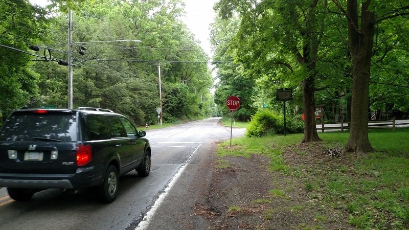
Photographed by Mike Wintermantel, May 24, 2017
2. Borough of Bradford Woods Marker
Credits. This page was last revised on December 14, 2020. It was originally submitted on May 24, 2017, by Mike Wintermantel of Pittsburgh, Pennsylvania. This page has been viewed 1,270 times since then and 54 times this year. Photos: 1, 2. submitted on May 24, 2017, by Mike Wintermantel of Pittsburgh, Pennsylvania.
