Cornwall in Stormont Dundas and Glengarry United Counties, Ontario — Central Canada (North America)
Cornwall Canal
Photographed by Kevin Craft, May 19, 2017
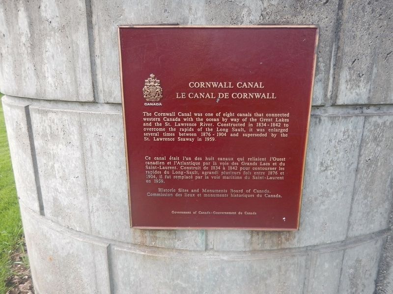
1. Cornwall Canal Marker
The Cornwall Canal was one of eight canals that connected western Canada with the ocean by way of the Great Lakes and the St. Lawrence River. Constructed in 1834–1842 to overcome the rapids of the Long Sault, it was enlarged several times between 1876-1904 and superseded by the St. Lawrence Seaway in 1959.
Erected by Historic Sites and Monuments Board of Canada.
Topics and series. This historical marker is listed in this topic list: Waterways & Vessels. In addition, it is included in the Canada, Historic Sites and Monuments Board series list. A significant historical year for this entry is 1834.
Location. 45° 0.879′ N, 74° 43.685′ W. Marker is in Cornwall, Ontario, in Stormont Dundas and Glengarry United Counties. It is on Water Street West (County Highway 2) 0.1 kilometers west of Pitt Street, on the right when traveling east. Marker is located in Lamoureux Park. Touch for map. Marker is in this post office area: Cornwall ON K6J 3P2, Canada. Touch for directions.

Regionally, this marker is in Eastern Ontario. It is also in Central Canada. Globally, it is in North America, the Western Hemisphere, the
this page online
Other nearby markers. At least 8 other markers are within walking distance of this marker: The Cornwall Canal / Le canal de Cornwall (here, next to this marker); The Founding of Cornwall (a few steps from this marker); Cornwall's Historic Waterfront (within shouting distance of this marker); Cornwall & S.D.G. 1784-2009 (within shouting distance of this marker); District Court-House and Gaol 1833/ Palais de Justice et Prison de District- 1833 (about 90 meters away, measured in a direct line); United Counties of Stormont Dundas and Glengarry (about 90 meters away); John Baker (about 120 meters away); Ivy Hall (approx. 0.3 kilometers away). Touch for a list and map of all markers in Cornwall.
Also see . . . Seaway History - Cornwall Canal. (Submitted on May 24, 2017, by Kevin Craft of Bedford, Quebec.)
Photographed by Kevin Craft, May 19, 2017
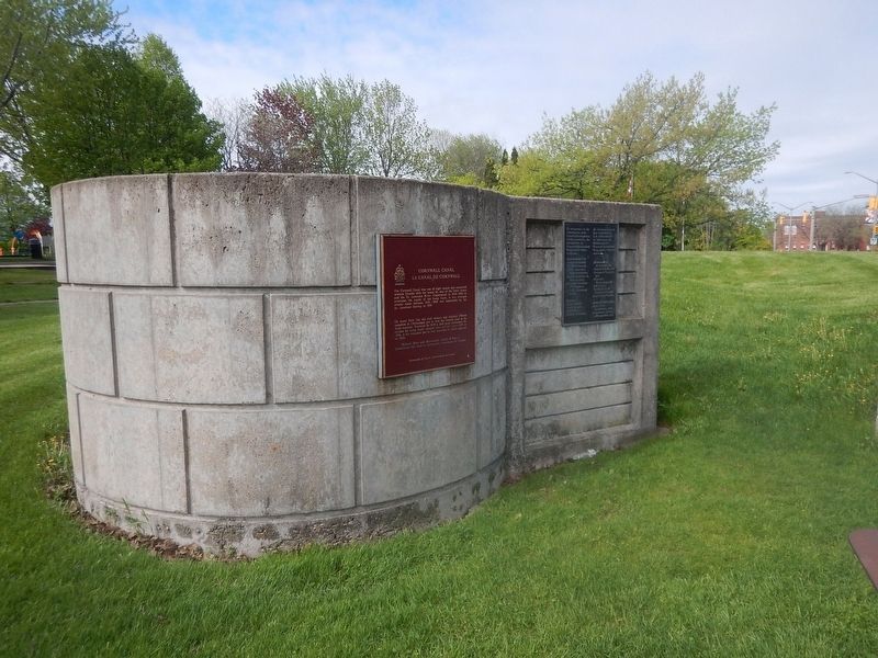
2. Wideview of Cornwall Canal Marker
Photographed by Kevin Craft, May 19, 2017
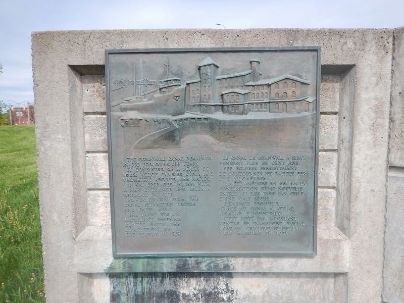
3. Another complimentary marker near Cornwall Canal Marker
The Cornwall Canal remained in use for over 100 years. It consisted of a series of locks which carried boats 18.5 kilometers around the rapids. It was upgraded in 1881 with a new entrance and later a drydock facility. Power drawn from the canal attracted textile and paper mills. The canal was an important shipping centre until the completion of the seaway in 1959.
Credits. This page was last revised on June 1, 2017. It was originally submitted on May 24, 2017, by Kevin Craft of Bedford, Quebec. This page has been viewed 631 times since then and 18 times this year. Photos: 1, 2, 3. submitted on May 24, 2017, by Kevin Craft of Bedford, Quebec.
