Waterford in Washington County, Ohio — The American Midwest (Great Lakes)
The Peninsula
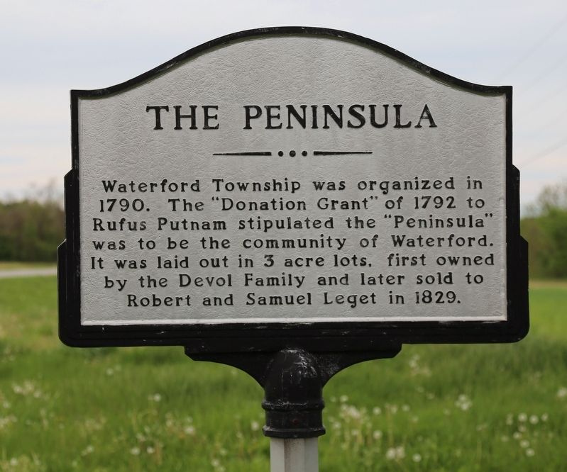
Photographed by J. J. Prats, April 23, 2017
1. The Peninsula Marker
Topics. This historical marker is listed in these topic lists: Political Subdivisions • Settlements & Settlers. A significant historical year for this entry is 1792.
Location. 39° 32.601′ N, 81° 38.58′ W. Marker is in Waterford, Ohio, in Washington County. It is at the intersection of Milner Road (Local Route 102) and Leget Street (Local Road T1150) on Milner Road. Touch for map. Marker is in this post office area: Waterford OH 45786, United States of America. Touch for directions.

Regionally, this marker is in the American Midwest, in the Ohio River Valley, in Appalachia, and specifically in Northern Appalachia. Globally, it is in North America, the Western Hemisphere, the Western World, and the Anglosphere. Historically, it finds itself in what was once the Viceroyalty of New France, the Haudenosaunee (Iroquois) Confederacy,
this page online
Other nearby markers. At least 8 other markers are within 8 miles of this marker, measured as the crow flies: The Buckeye Belle Explosion (approx. 0.3 miles away); Waterford (approx. 0.4 miles away); The Old Log House / Oliver Tucker Museum (approx. half a mile away); Fort Frye (approx. 0.8 miles away); Steamer Buckeye Belle (approx. 0.9 miles away); Round Bottom Schoolhouse / Round Bottom Cemetery (approx. 3.1 miles away); Water Power on the Muskingum River (approx. 4.2 miles away); Big Bottom Massacre (approx. 7.3 miles away).
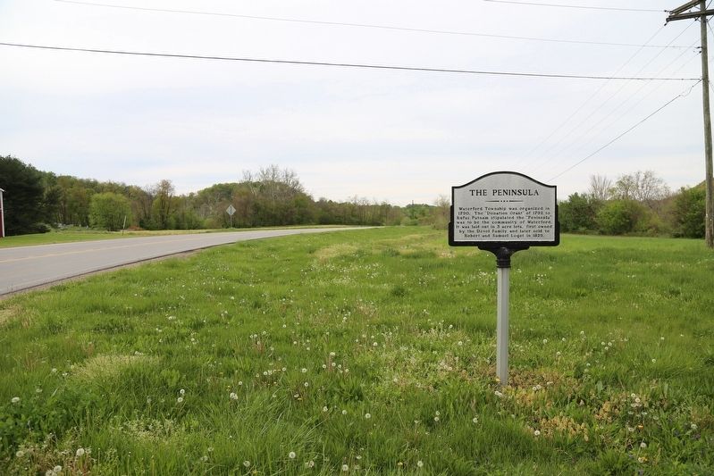
Photographed by J. J. Prats, April 23, 2017
2. The Peninsula Marker
Credits. This page was last revised on May 26, 2017. It was originally submitted on May 26, 2017, by J. J. Prats of Powell, Ohio. This page has been viewed 752 times since then and 39 times this year. Photos: 1, 2. submitted on May 26, 2017, by J. J. Prats of Powell, Ohio.
