Williamstown in Orange County, Vermont — The American Northeast (New England)
Town of Williamstown
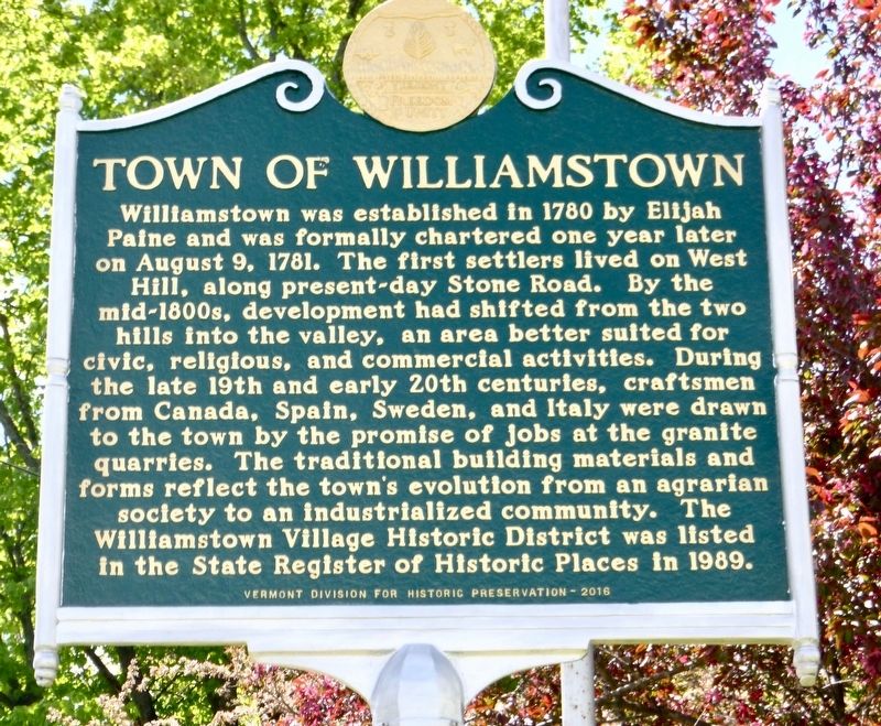
Photographed by Dennis Gilkenson, May 27, 2017
1. Town of Williamstown Marker
Erected 2016 by Vermont Division for Historic Preservation.
Topics and series. This historical marker is listed in this topic list: Settlements & Settlers. In addition, it is included in the Vermont Division for Historic Preservation Markers series list. A significant historical year for this entry is 1780.
Location. 44° 7.238′ N, 72° 32.476′ W. Marker is in Williamstown, Vermont, in Orange County.
this page online

Regionally, this marker is in the Connecticut River Valley and in the Green Mountains. It is also in the American Northeast and in New England. Globally, it is in North America, the Western Hemisphere, the Western World, and the Anglosphere. Historically, it finds itself in what was once the Vermont Republic.
Other nearby markers. At least 8 other markers are within 6 miles of this marker, measured as the crow flies: Davenport Birthplace (about 700 feet away, measured in a direct line); Thomas Davenport (about 700 feet away); In the late 1950’s Rock of Ages experimented with making lanes out of granite... (approx. 3.4 miles away); Major Ira Day (approx. 3.8 miles away); At a Town Meeting Held at This Site Sept. 3, 1793 (approx. 4.7 miles away); Historic Millstone Hill (approx. 5.1 miles away); Welcome to the Reynolds House (approx. 5.3 miles away); Washington Vermont War Memorial (approx. 5.4 miles away). Touch for a list and map
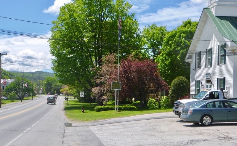
Photographed by Dennis Gilkenson, May 27, 2017
2. Wide View of Town of Williamstown Marker
Credits. This page was last revised on May 29, 2017. It was originally submitted on May 28, 2017, by Dennis Gilkenson of Saxtons River, Vermont. This page has been viewed 699 times since then and 43 times this year. Photos: 1, 2. submitted on May 28, 2017, by Dennis Gilkenson of Saxtons River, Vermont. • Bill Pfingsten was the editor who published this page.
