Port Royal in Beaufort County, South Carolina — The American South (South Atlantic)
The Historic Union Church
National Register Of Historic Places
Photographed by James R. Murray, May 28, 2017
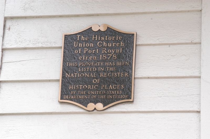
1. The Historic Union Church Marker
Union Church
of Port Royal
circa 1878
This property has been
listed in the
National Register
of
Historic Places
by the United States
Department of the Interior
Topics. This historical marker is listed in this topic list: Religion & Religious Structures. A significant historical year for this entry is 1878.
Location. 32° 22.615′ N, 80° 41.593′ W. Marker is in Port Royal, South Carolina, in Beaufort County. It is on 11th Street west of Paris Avenue, on the right when traveling west. Touch for map. Marker is at or near this postal address: 1004 11th Street, Port Royal SC 29935, United States of America. Touch for directions.

Regionally, this marker is in the Lowcountry and on the Sea Islands. It is also in the American South, specifically in the Deep South, and on the Eastern Seaboard. Globally, it is in the North Atlantic Region, North America, the Western Hemisphere, the Western World, and the Anglosphere. Historically, it finds itself in what was once New Spain, the territory of the Mississippian Culture, one of the original Thirteen Colonies, one of the Confederate States of America,
this page online
Other nearby markers. At least 8 other markers are within 2 miles of this marker, measured as the crow flies: Blue Channel Corporation (approx. 0.2 miles away); Camp Saxton (approx. 0.8 miles away); a different marker also named Camp Saxton (approx. 0.9 miles away); Old Fort Plantation (approx. 0.9 miles away); Emancipation Day (approx. 0.9 miles away); First South Carolina Infantry (approx. 0.9 miles away); "The Year of Jubilee Has Come!" (approx. 0.9 miles away); Emancipation Day / Camp Saxton Site (approx. 1.1 miles away). Touch for a list and map of all markers in Port Royal.
Also see . . . Historic Port Royal Foundation. (Submitted on May 30, 2017.)
Photographed by James R. Murray, May 28, 2017
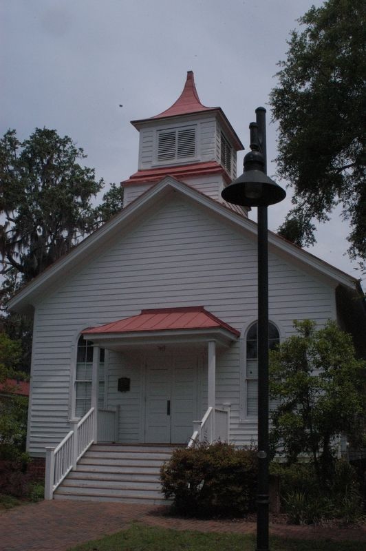
2. The Historic Union Church Marker
The church building.
Credits. This page was last revised on May 30, 2017. It was originally submitted on May 28, 2017, by James R. Murray of Elkton, Florida. This page has been viewed 476 times since then and 40 times this year. Photos: 1, 2. submitted on May 28, 2017, by James R. Murray of Elkton, Florida. • Bernard Fisher was the editor who published this page.
