Natchez in Adams County, Mississippi — The American South (East South Central)
Seargent S. Prentiss
(1808-1850)
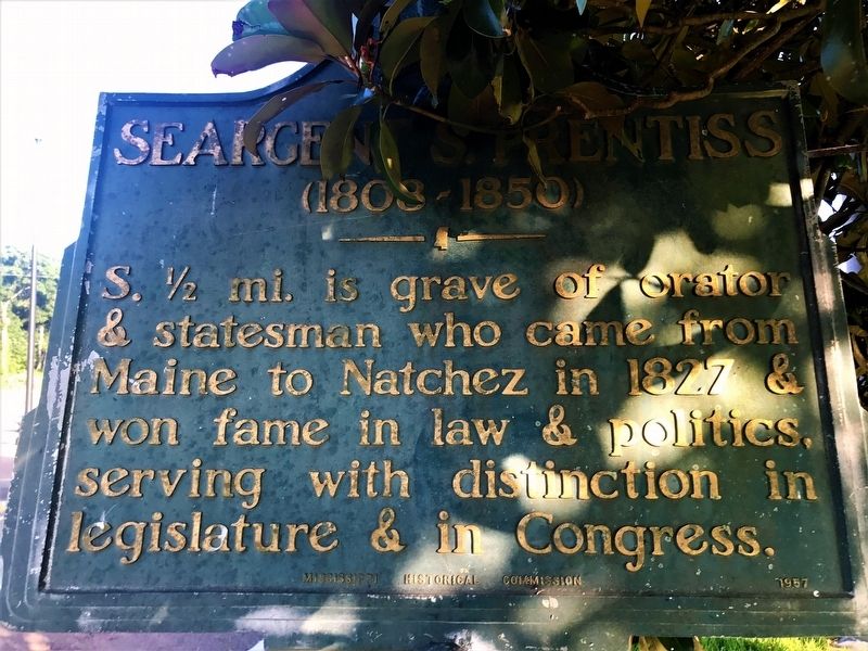
Photographed by Cajun Scrambler, May 26, 2017
1. Seargent S. Prentiss Marker
Erected 1957 by Mississippi Historical Commission.
Topics and series. This historical marker is listed in this topic list: Settlements & Settlers. In addition, it is included in the Mississippi State Historical Marker Program series list.
Location. 31° 32.348′ N, 91° 23.827′ W. Marker is in Natchez, Mississippi, in Adams County. It is at the intersection of John R. Junkin Drive (U.S. 84) and Lower Woodville Road, on the right when traveling east on John R. Junkin Drive. Touch for map. Marker is in this post office area: Natchez MS 39120, United States of America. Touch for directions.

Regionally, this marker is in Southwest Mississippi and in Natchez Trace Corridor. It is also in the American South, specifically in the Deep South, and in the Great River Road Region. Globally, it is in North America, a Gulf of Mexico state, the Western Hemisphere, the Western World, and the Anglosphere.
this page online
Other nearby markers. At least 8 other markers are within walking distance of this marker: Auburn (approx. half a mile away); Elms Court (approx. half a mile away); Longwood (approx. half a mile away); Gloucester Cemetery (approx. half a mile away); Dunleith (approx. ¾ mile away); Mississippi (approx. ¾ mile away); White Cottage (approx. 0.8 miles away); Routhland (approx. 0.8 miles away). Touch for a list and map of all markers in Natchez.
More about this marker. Located under a large magnolia tree very hard to see.
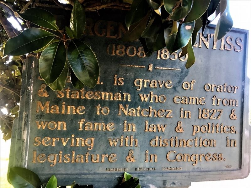
May 26, 2017
2. Seargent S. Prentiss Marker
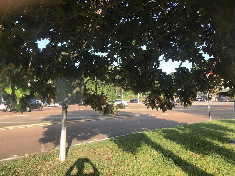
Photographed by Cajun Scrambler, May 26, 2017
3. Seargent S. Prentiss Marker
Credits. This page was last revised on February 25, 2024. It was originally submitted on May 28, 2017. This page has been viewed 342 times since then and 15 times this year. Photos: 1, 2, 3. submitted on May 28, 2017.
