Fort Monroe in Hampton, Virginia — The American South (Mid-Atlantic)
Harbor Defense Regimental Distinctive Insignia
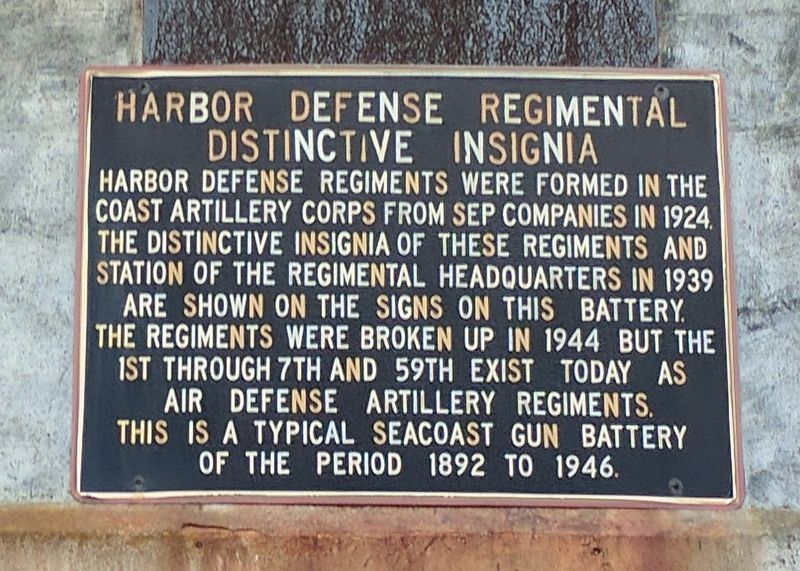
Photographed by Bernard Fisher, May 28, 2017
1. Harbor Defense Regimental Distinctive Insignia Marker
Topics. This historical marker is listed in this topic list: Military. A significant historical year for this entry is 1924.
Location. 37° 0.729′ N, 76° 18.053′ W. Marker is in Hampton, Virginia. It is in Fort Monroe. It is on Fenwick Road near Stillwell Drive, on the right when traveling north. Touch for map. Marker is in this post office area: Fort Monroe VA 23651, United States of America. Touch for directions.

Regionally, this marker is on Virginia’s Peninsula and in Coastal Virginia. It is also in the American South, specifically in the Upper South, in the Tidewater, and on the Eastern Seaboard. Globally, it is in the North Atlantic Region, North America, the Western Hemisphere, the Western World, and
this page online
Other nearby markers. At least 8 other markers are within walking distance of this marker: The Legend Of The Oozlefinch (approx. 0.3 miles away); Fort Monroe (approx. 0.6 miles away); Fort Monroe History (approx. 0.7 miles away); Omaha Beach Memorial Tree (approx. 0.7 miles away); The Lincoln Gun (approx. ¾ mile away); Stockade and Guardhouse (approx. ¾ mile away); Contraband Hospital (approx. ¾ mile away); a different marker also named Fort Monroe (approx. ¾ mile away). Touch for a list and map of all markers in Hampton.
Another marker is no longer nearby. Water Battery (was approx. 0.6 miles away but has been confirmed missing).
Also see . . .
1. Fort Monroe (Stone Fort) National Register of Historic Places Registration Form. (Submitted on August 19, 2019.)
2. Fort Monroe National Monument, National Park Service. (Submitted on August 19, 2019.)
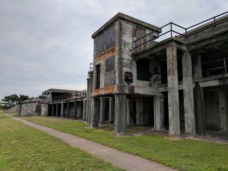
Photographed by Bernard Fisher, May 28, 2017
2. Battery De Russy
Credits. This page was last revised on February 1, 2023. It was originally submitted on May 29, 2017, by Bernard Fisher of Richmond, Virginia. This page has been viewed 620 times since then and 54 times this year. Photos: 1, 2. submitted on May 29, 2017, by Bernard Fisher of Richmond, Virginia.
