Montrose in Susquehanna County, Pennsylvania — The American Northeast (Mid-Atlantic)
Sylvanus Mulford House
Photographed by William Fischer, Jr., May 15, 2017
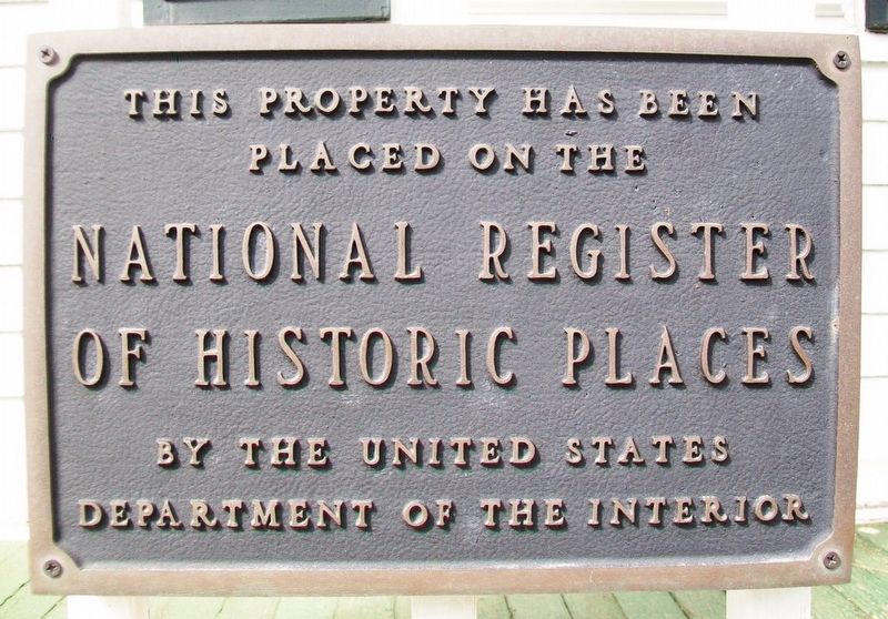
1. Sylvanus Mulford House NRHP Marker
placed on the
National Register
of Historic Places
by the United States
Department of the Interior
———————
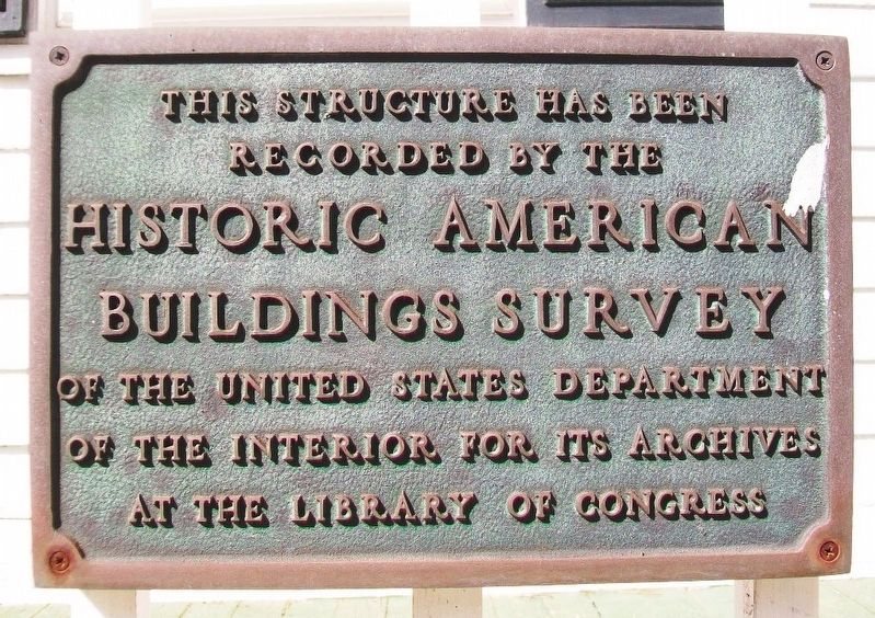
This structure has been
recorded by the
Historic American
Building Survey
of the United States Department
of the Interior for its Archives
at the Library of Congress
Topics and series. This historical marker is listed in this topic list: Notable Buildings. In addition, it is included in the Historic American Buildings Survey, and the National Register of Historic Places (NRHP) series lists.
Location. 41° 49.928′ N, 75° 52.584′ W. Marker is in Montrose, Pennsylvania, in Susquehanna County. It is at the intersection of Church Street (County Route 706) and Cherry Street, on the right when traveling west on Church Street. Touch for map. Marker is at or near this postal address: 315 Church Street, Montrose PA 18801, United States of America. Touch for directions.

Regionally, this marker is in Pennsylvania’s Wyoming Valley. It is also in the American Northeast, in the Mid-Atlantic,
this page online
Other nearby markers. At least 8 other markers are within walking distance of this marker: Susquehanna County (about 600 feet away, measured in a direct line); a different marker also named Susquehanna County (about 700 feet away); Homestead Bill of 1862 (about 700 feet away); Susquehanna County Courthouse, First Jail, and Second Jail (about 800 feet away); Civil War Memorial (approx. 0.2 miles away); Mary Borthwick (approx. 0.2 miles away); War for the Preservation of the Union (approx. 0.2 miles away); War Memorial (approx. 0.2 miles away). Touch for a list and map of all markers in Montrose.
Also see . . . Sylvanus Mulford House. Wikipedia entry (Submitted on March 8, 2024, by Larry Gertner of New York, New York.)
Photographed by William Fischer, Jr., May 15, 2017
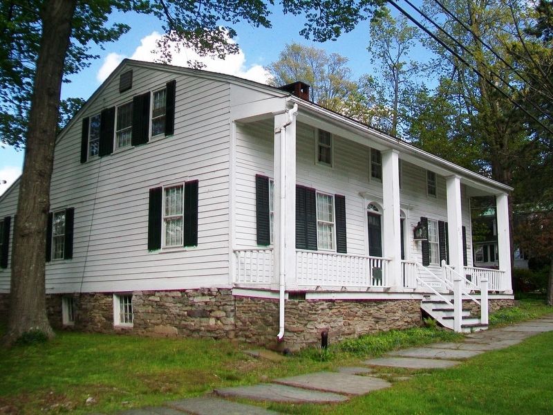
2. Sylvanus Mulford House and Markers
Photographed by William Fischer, Jr., May 15, 2017
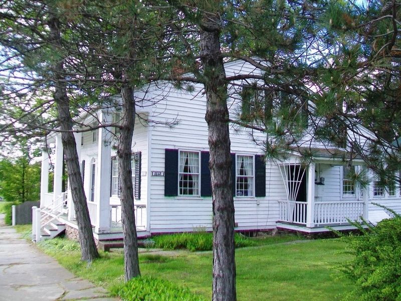
3. Sylvanus Mulford House
Photographed by William Fischer, Jr., May 15, 2017
4. Sylvanus Mulford House HABS Marker
Credits. This page was last revised on March 8, 2024. It was originally submitted on May 29, 2017, by William Fischer, Jr. of Reynoldsburg, Ohio. This page has been viewed 621 times since then and 31 times this year. Photos: 1, 2, 3, 4. submitted on May 29, 2017, by William Fischer, Jr. of Reynoldsburg, Ohio.
