
L'Orignal in Prescott and Russell United Counties, Ontario — Central Canada (North America)
The Seigneury of L'Orignal
Photographed by Kevin Craft, May 28, 2017
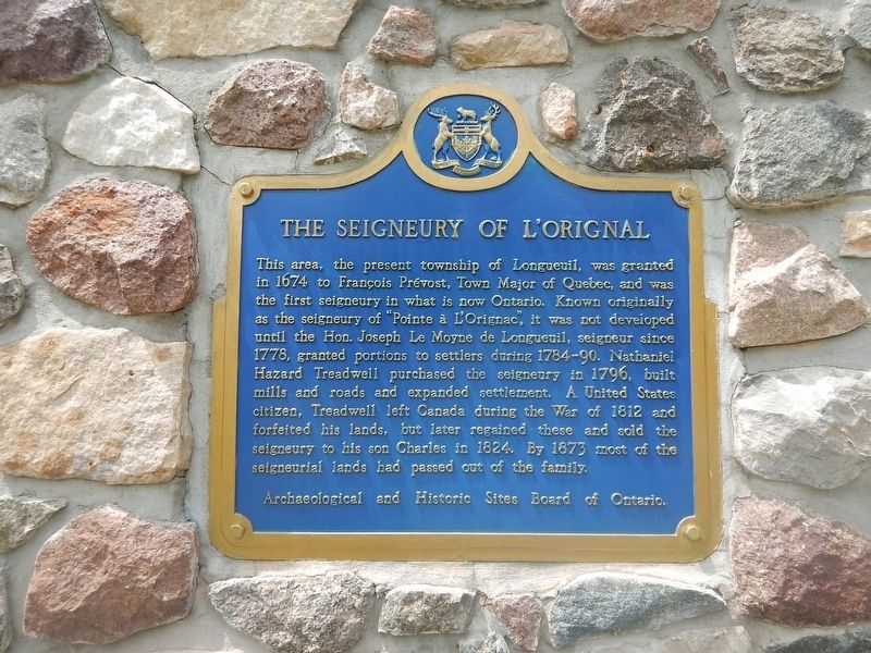
1. The Seigneury of L'Orignal Marker
This area, the present township of Longueuil, was granted in 1674 to François Prévost, Town Major of Québec, and was the first seigneury in what is now Ontario. Known originally as the seigneury of "Pointe à L'Orignac", it was not developed until the Hon. Joseph Le Moyne de Longueuil, seigneur since 1778, granted portions to settlers during 1784–90. Nathaniel Hazard Treadwell purchased the seigneury in 1796, built mills and roads and expanded settlement. A United States citizen, Treadwell left Canada during the War of 1812 and forfeited his lands, but later regained these and sold the seigneury to his son Charles in 1824. By 1873 most of the seigneurial lands had passed out of the family.
Erected by Archaeological and Historic Sites Board of Ontario.
Topics and series. This historical marker is listed in these topic lists: Industry & Commerce • Settlements & Settlers • War of 1812. In addition, it is included in the Canada, Ontario Heritage Trust series list. A significant historical year for this entry is 1674.
Location. 45° 37.412′ N, 74° 41.016′ W. Marker is in L'Orignal, Ontario, in Prescott and Russell
this page online

Regionally, this marker is in Eastern Ontario, specifically in Southeastern Ontario, and in the Ottawa Metropolitan Area. It is also in Central Canada. Globally, it is in North America, the Western Hemisphere, the Western World, and the Anglosphere. Historically, it finds itself in what was once a British colony, the Viceroyalty of New France, the Haudenosaunee (Iroquois) Confederacy, and Rupert’s Land.
Other nearby markers. At least 8 other markers are within walking distance of this marker: Palais de justice et prison / Court House and Jail (approx. 0.7 kilometers away); Bureau d'enregistrement / The Land Registry Office (approx. 0.7 kilometers away); District Court-House and Gaol 1825 (approx. 0.7 kilometers away); Maison Poulin House (approx. 0.8 kilometers away); St Jean-Baptiste Catholic Church (approx. 0.8 kilometers
Photographed by Kevin Craft, May 28, 2017
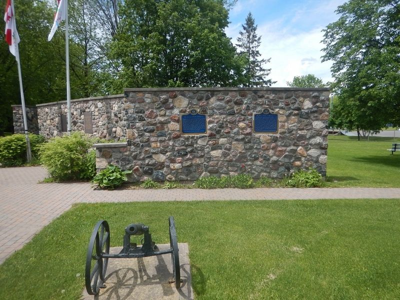
2. Wideview of The Seigneury of L'Orignal Marker
Credits. This page was last revised on January 24, 2022. It was originally submitted on May 31, 2017, by Kevin Craft of Bedford, Quebec. This page has been viewed 555 times since then and 44 times this year. Photos: 1, 2. submitted on May 31, 2017, by Kevin Craft of Bedford, Quebec.
