Greenwood in Clark County, Wisconsin — The American Midwest (Great Lakes)
Mormon Settlements
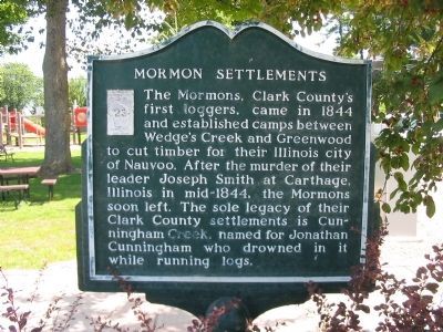
Photographed by K. Linzmeier, August 23, 2009
1. Mormon Settlements Marker
Erected 1968 by the Clark County Historical Society. (Marker Number 23.)
Topics. This historical marker is listed in these topic lists: Religion & Religious Structures • Settlements & Settlers. A significant historical year for this entry is 1844.
Location. 44° 46.024′ N, 90° 35.883′ W. Marker is in Greenwood, Wisconsin, in Clark County. It is at the intersection of North Main Street (State Highway 73) and East Division Street, on the right when traveling north on North Main Street. Marker is in Greenwood Park. Touch for map. Marker is at or near this postal address: 102 North Main Street, Greenwood WI 54437, United States of America. Touch for directions.

Regionally, this marker is in the American Midwest and in
this page online
Other nearby markers. At least 8 other markers are within 15 miles of this marker, measured as the crow flies: Loyal Veterans Memorial (approx. 5 miles away); Samuel Hartford (approx. 6.1 miles away); Castner–Mack Cemetery (approx. 6.4 miles away); Neillsville Civil War Memorial (approx. 13.8 miles away); National Native American Vietnam Veterans Memorial (approx. 14.3 miles away); The Korean War Tribute (approx. 14.3 miles away); Kilroy Was Here (approx. 14.4 miles away); Women Airforce Service Pilots Monument (approx. 14.4 miles away).
More about this marker. The Mormon Settlements Marker is a Wisconsin Registered Landmark – Number 23.
Greenwood Mayor John Snedic displays a marker erected last week in the Greenwood City Park by the Clark County Historical Society. The marker honors the Mormons, first white settlers to visit Clark County in 1844. They had four campsites on the
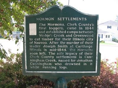
Photographed by K. Linzmeier, August 23, 2009
2. Mormon Settlements Marker
Excerpt from The Eau Claire Leader October 8, 1968
Related markers. Click here for a list of markers that are related to this marker. To better understand the relationship, study each marker in the order shown.
Also see . . . Lumbering and Farming. (Submitted on August 26, 2009.)
Additional keywords. Ernest Durig; Peace Monument
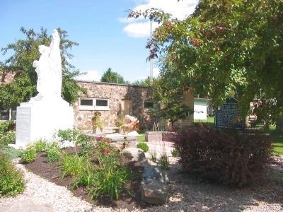
Photographed by K. Linzmeier, August 23, 2009
3. Mormon Settlements Marker
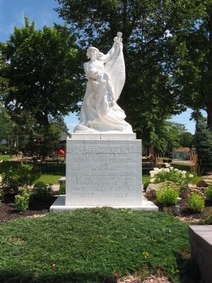
Photographed by K. Linzmeier, August 23, 2009
4. Nearby Memorial
dedicated to the
Gold Star Mothers
and
in memory
of the 150th anniversary
of the formation of the
Constitution of the
United States of America
1787 · 1937
Photographed by K. Linzmeier, August 23, 2009
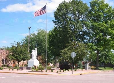
5. Greenwood Village Park
Photographed by K. Linzmeier, May 22, 2010
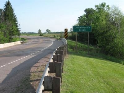
6. Cunningham Creek
Credits. This page was last revised on October 14, 2020. It was originally submitted on August 26, 2009, by Keith L of Wisconsin Rapids, Wisconsin. This page has been viewed 1,947 times since then and 37 times this year. Last updated on June 1, 2017, by Paul Fehrenbach of Richfield, Wisconsin. Photos: 1, 2, 3, 4, 5. submitted on August 26, 2009, by Keith L of Wisconsin Rapids, Wisconsin. 6. submitted on May 24, 2010, by Keith L of Wisconsin Rapids, Wisconsin. • Bill Pfingsten was the editor who published this page.
