Carleton Place in Lanark County, Ontario — Central Canada (North America)
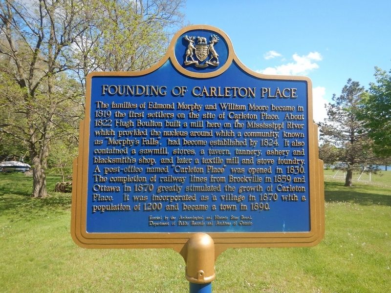
Founding of Carleton Place
The families of Edmond Morphy and William Moore became in 1819 the first settlers on the site of Carleton Place. About 1822 Hugh Boulton built a mill here on the Mississippi River which provided the nucleus around which a community, known as "Morphy's Falls", had become established by 1824. It also contained a sawmill, stores, a tavern, tannery, ashery and blacksmith's shop, and later a textile mill and stove foundry. A post-office named "Carleton Place" was opened in 1830. The completion of railway lines from Brockville in 1859 and Ottawa in 1870 greatly stimulated the growth of Carleton Place. It was incorporated as a village in 1870 with a population of 1200 and became a town in 1890.
Erected by Archaeological and Historic Sites Board of Ontario.
Topics. This historical marker is listed in these topic lists: Industry & Commerce • Settlements & Settlers. A significant historical year for this entry is 1819.
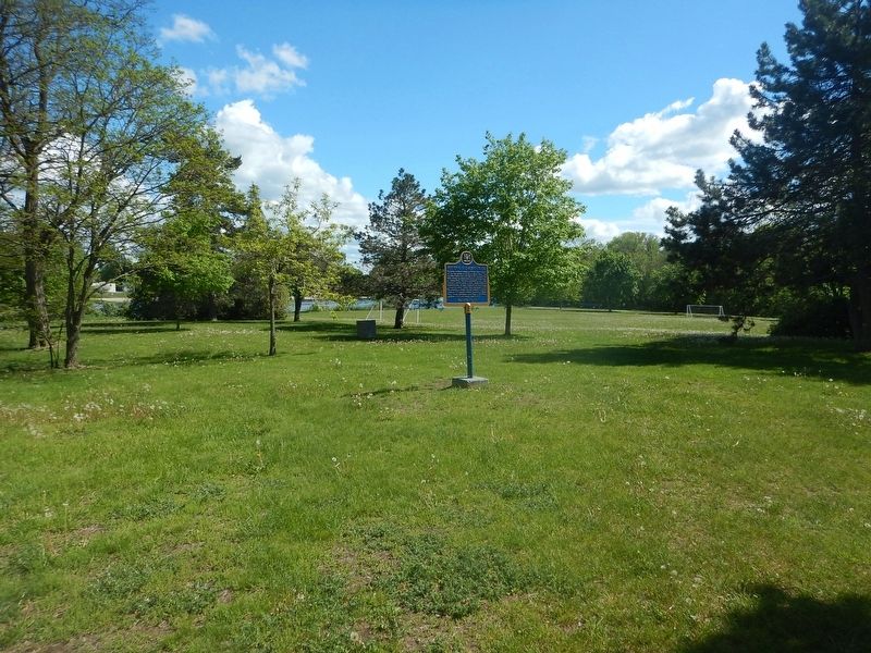
Location. 45° 8.259′ N, 76° 9.043′ W. Marker is in Carleton Place, Ontario, in Lanark County. Marker is at the intersection of Flora Street and McRostie Street, on the right when traveling south on Flora Street. Marker is located in Centennial Park. Touch for map. Marker is in this post office area: Carleton Place ON K7C 3M1, Canada. Touch for directions.
Other nearby markers. At least 8 other markers are within walking distance of this marker. Findlay (approx. 0.4 kilometers away); A. Roy Brown Memorial (approx. 0.4 kilometers away); Carleton Place Town Hall (approx. half a kilometer away); The Town Hall Square Millennium Project (approx. half a kilometer away); Countdown Public Art Legacy Project (approx. half a kilometer away); Town Hall Square Historical Murals (approx. half a kilometer away); Post Office and Federal Building (approx. half a kilometer away); The Herald and Canadian Tire (approx. half a kilometer away). Touch for a list and map of all markers in Carleton Place.
Credits. This page was last revised on June 1, 2017. It was originally submitted on June 1, 2017, by Kevin Craft of Bedford, Quebec. This page has been viewed 294 times since then and 19 times this year. Photos: 1, 2. submitted on June 1, 2017, by Kevin Craft of Bedford, Quebec.

