
Almonte in Lanark County, Ontario — Central Canada (North America)
The Founding of Almonte
Photographed by Kevin Craft, May 28, 2017
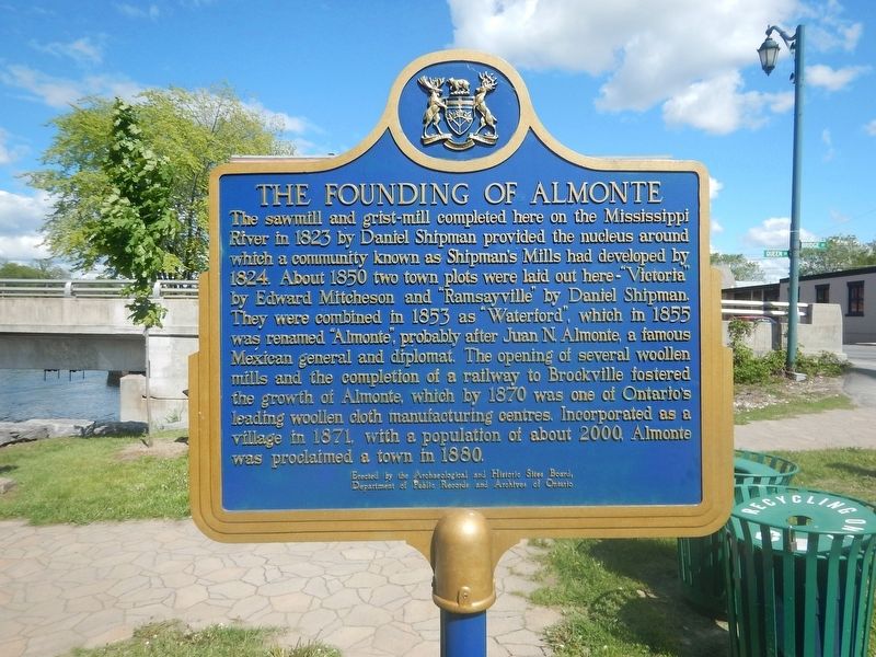
1. The Founding of Almonte Marker
The sawmill and grist-mill completed here on the Mississippi River in 1823 by Daniel Shipman provided the nucleus around which a community known as Shipman's Mills had developed by 1824. About 1850 two town plots were laid out here - "Victoria" by Edward Mitcheson and "Ramsayville" by Daniel Shipman. They were combined in 1853 as "Waterford", which in 1855 was renamed "Almonte", probably after Juan N. Almonte, a famous Mexican general and diplomat. The opening of several woollen mills and the completion of a railway by Brockville fostered the growth of Almonte, which by 1870 was one of Ontario's leading woollen cloth manufacturing centres. Incorporated as a village in 1871, with a population of about 2000, Almonte was proclaimed a town in 1880.
Erected by Archaeological and Historic Sites Board of Ontario.
Topics and series. This historical marker is listed in these topic lists: Industry & Commerce • Railroads & Streetcars • Settlements & Settlers. In addition, it is included in the Canada, Ontario Heritage Trust series list. A significant historical year for this entry is 1823.
Location. 45° 13.582′ N, 76° 11.645′ W.
this page online

Regionally, this marker is in the Haliburton Highlands to Ottawa Valley and in Eastern Ontario. It is also in Central Canada. Globally, it is in North America, the Western Hemisphere, the Western World, and the Anglosphere. Historically, it finds itself in what was once a British colony, the Viceroyalty of New France, the Haudenosaunee (Iroquois) Confederacy, and Rupert’s Land.
Other nearby markers. At least 8 other markers are within 6 kilometers of this marker, measured as the crow flies: Former Almonte Post Office (about 120 meters away, measured in a direct line); Mississippi River Improvement Company (about 210 meters away); The Rosamonds in Almonte (approx. 0.3 kilometers away); Sir William E. Logan and the Geology of Canada (approx. half
Photographed by Kevin Craft, May 28, 2017
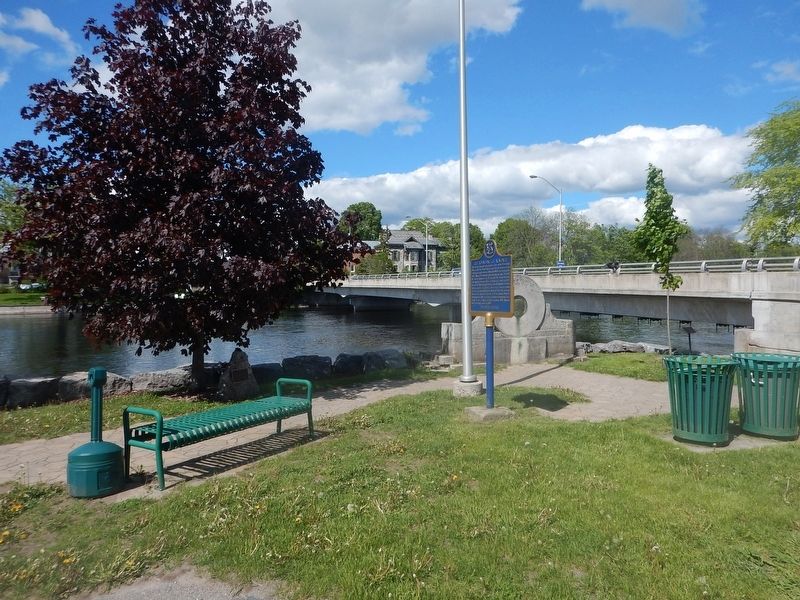
2. Wideview of The Founding of Almonte Marker
Credits. This page was last revised on June 1, 2017. It was originally submitted on June 1, 2017, by Kevin Craft of Bedford, Quebec. This page has been viewed 870 times since then and 136 times this year. Photos: 1, 2. submitted on June 1, 2017, by Kevin Craft of Bedford, Quebec.
