
Almonte in Lanark County, Ontario — Central Canada (North America)
The Rosamonds in Almonte
Photographed by Kevin Craft, May 28, 2017
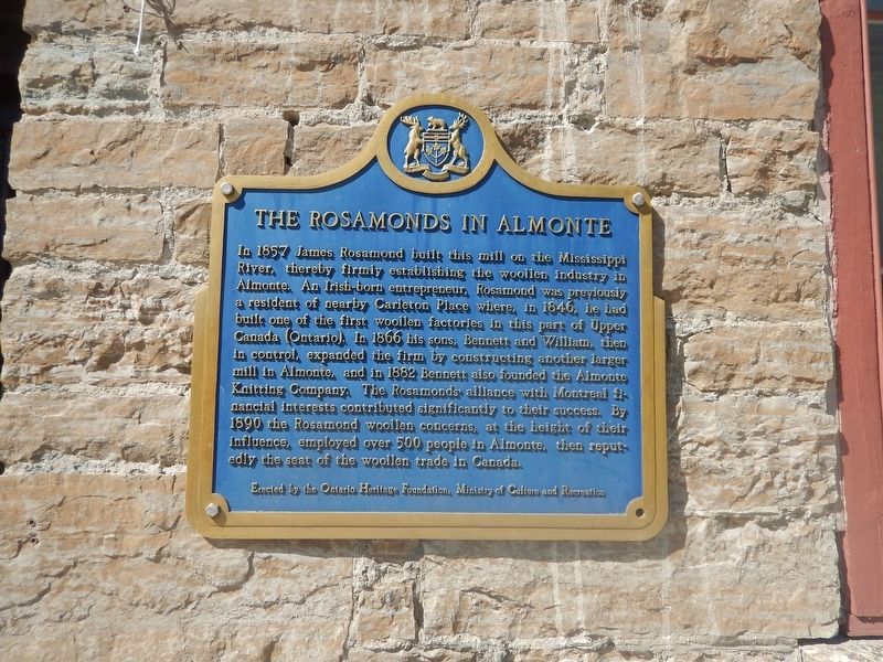
1. The Rosamonds in Almonte Marker
In 1857 James Rosamond built this mill on the Mississippi River, thereby firmly establishing the woollen industry in Almonte. An Irish-born entrepreneur, Rosamond was previously a resident of nearby Carleton Place where, in 1846, he had built one of the first woollen factories in this part of Upper Canada (Ontario). In 1866 his sons, Bennett and William, then in control, expanded the firm by constructing another larger mill in Almonte, and in 1882 Bennett also founded the Almonte Knitting Company. The Rosamonds' alliance with Montréal financial interests contributed significantly to their success. By 1890 the Rosamond woollen concerns, at the height of their influence, employed over 500 People in Almonte, then reputedly the seat of the woollen trade in Canada.
Erected by Ontario Heritage Foundation.
Topics and series. This historical marker is listed in these topic lists: Industry & Commerce • Notable Buildings • Settlements & Settlers. In addition, it is included in the Canada, Ontario Heritage Trust series list. A significant historical year for this entry is 1857.
Location. 45° 13.526′ N, 76° 11.873′ W.
this page online

Regionally, this marker is in the Haliburton Highlands to Ottawa Valley and in Eastern Ontario. It is also in Central Canada. Globally, it is in North America, the Western Hemisphere, the Western World, and the Anglosphere. Historically, it finds itself in what was once a British colony, the Viceroyalty of New France, the Haudenosaunee (Iroquois) Confederacy, and Rupert’s Land.
Other nearby markers. At least 8 other markers are within 5 kilometers of this marker, measured as the crow flies: Mississippi River Improvement Company (about 90 meters away, measured in a direct line); Former Almonte Post Office (about 210 meters away); Sir William E. Logan and the Geology of Canada (about 240 meters away); The Founding of Almonte (approx. 0.3 kilometers away); "Auld Kirk" 1836 (approx. 2.2 kilometers away); Dr. James Naismith
Photographed by Kevin Craft, May 28, 2017
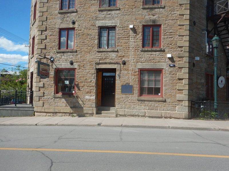
2. Wideview of The Rosamonds in Almonte Marker
Credits. This page was last revised on June 2, 2017. It was originally submitted on June 2, 2017, by Kevin Craft of Bedford, Quebec. This page has been viewed 446 times since then and 18 times this year. Photos: 1, 2. submitted on June 2, 2017, by Kevin Craft of Bedford, Quebec.
