Moran Township near St. Ignace in Mackinac County, Michigan — The American Midwest (Great Lakes)
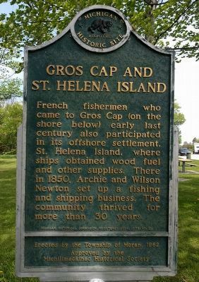
Gros Cap and St. Helena Island
Photographed by Joel Seewald, June 9, 2019
1. Gros Cap and St. Helena Island Marker
Erected 1962 by Michigan Historical Commission, Township of Moran. (Marker Number L22.)
Topics and series. This historical marker is listed in these topic lists: Industry & Commerce • Settlements & Settlers. In addition, it is included in the Michigan Historical Commission series list. A significant historical year for this entry is 1850.
Location. 45° 53.06′ N, 84° 50.152′ W. Marker is near St. Ignace, Michigan, in Mackinac County. It is in Moran Township. It is on U.S. 2 0.9 miles west of Gudmunson Road, on the left when traveling west. Marker is in Gros Cap Roadside Park. Touch for map. Marker is in this post office area: Saint Ignace MI 49781, United States of America. Touch for directions.

Regionally, this marker is on Michigan’s Upper
this page online
Other nearby markers. At least 8 other markers are within 5 miles of this marker, measured as the crow flies: Lake Michigan (a few steps from this marker); Story of the Mystery Spot (approx. 1½ miles away); Ottawa Indian Village (approx. 2 miles away); Ancient Anishinabe Path / Gete Anishinaabek Miikaan (approx. 3.3 miles away); The Ojibwe Medicine Wheel (approx. 5.1 miles away); Anishinaabe Drying Rack (approx. 5.1 miles away); Anishinaabe Fisherman (approx. 5.1 miles away); The Huron Longhouse (approx. 5.1 miles away). Touch for a list and map of all markers in St. Ignace.
Photographed by J. J. Prats, August 2, 2024
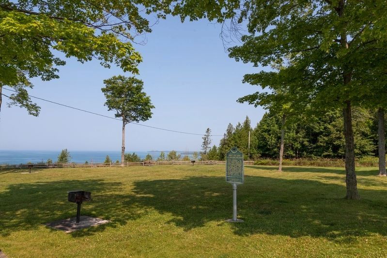
2. Gros Cap and St. Helena Island Marker
Photographed by Joel Seewald, June 9, 2019
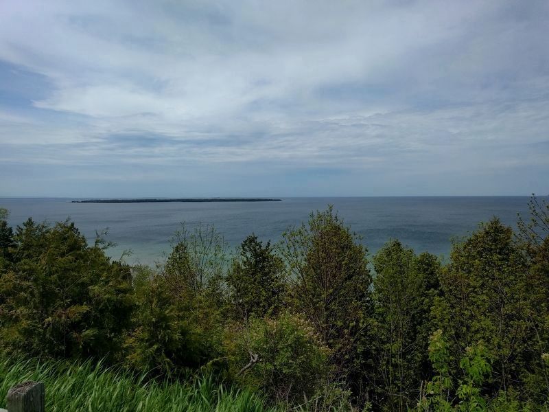
3. St. Helena Island
View looking to the southwest. St. Helena Island can be seen in Lake Michigan, about 2 miles away.
Credits. This page was last revised on November 27, 2024. It was originally submitted on June 2, 2017, by Joel Seewald of Madison Heights, Michigan. This page has been viewed 880 times since then and 117 times this year. Photos: 1. submitted on July 31, 2019, by Joel Seewald of Madison Heights, Michigan. 2. submitted on August 10, 2024, by J. J. Prats of Powell, Ohio. 3. submitted on July 31, 2019, by Joel Seewald of Madison Heights, Michigan.
