Almonte in Lanark County, Ontario — Central Canada (North America)
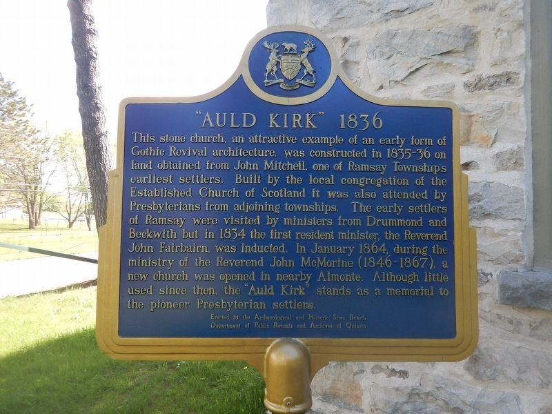
"Auld Kirk" 1836
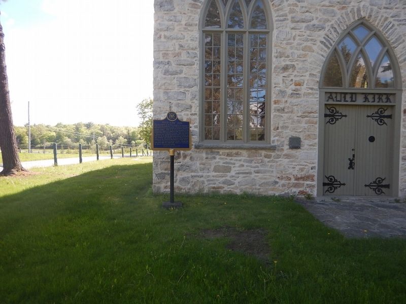
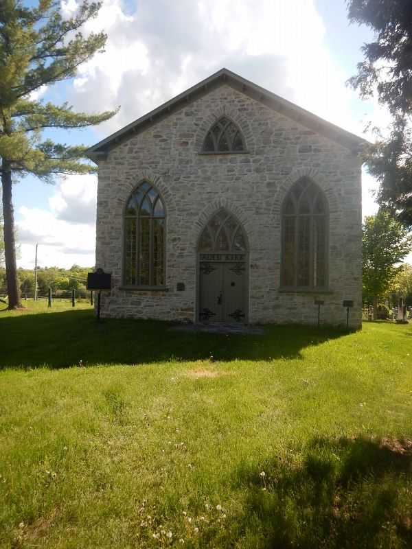
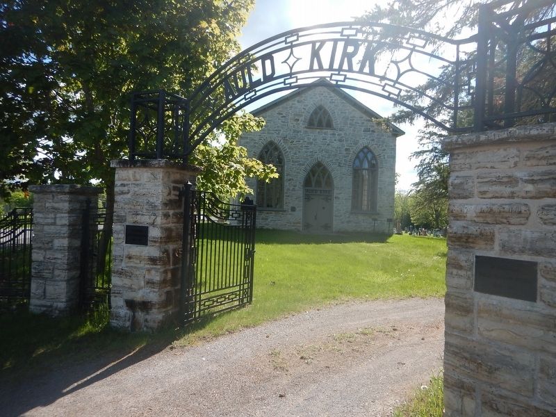
This stone church, an attractive example of an early form of Gothic Revival architecture, was constructed in 1835–36 on land obtained from John Mitchell, one of Ramsay Township's earliest settlers. Built by the local congregation of the Established Church of Scotland it was also attended by Presbyterians from adjoining townships. The early settlers of Ramsay were visited by ministers from Drummond and Beckwith but in 1834 the first resident minister, the Reverend John Fairbairn, was inducted. In January 1864, during the ministry of the Reverend John McMorine (1846–1867), a new church was opened in nearby Almonte. Although little used since then, the "Auld Kirk" stands as a memorial to the pioneer Presbyterian settlers.
Erected by Archaeological and Historic Sites Board of Ontario.
Topics. This historical marker is listed in this topic list: Churches & Religion. A significant historical year for this entry is 1836.
Location. 45° 12.717′ N, 76° 13.084′ W. Marker is in Almonte, Ontario, in Lanark County. Marker is on Wolf Grove Road (County Highway 16) close to Ramsay Concession 8, on the right when traveling west. Touch for map. Marker is in this post office area: Almonte ON K0A 1A0, Canada. Touch for directions.
Other nearby markers. At least 8 other markers are within 10 kilometers of this marker, measured as the crow flies. The Rosamonds in Almonte (approx. 2.2 kilometers away); Mississippi River Improvement Company (approx. 2.3 kilometers away); Former Almonte Post Office (approx. 2.3 kilometers away); The Founding of Almonte (approx. 2.5 kilometers away); Dr. James Naismith (approx. 3.5 kilometers away); Robert Tait McKenzie (approx. 4.7 kilometers away); The Mill of Kintail and Robert Tait McKenzie (approx. 4.7 kilometers away); A. Roy Brown Memorial (approx. 9.6 kilometers away). Touch for a list and map of all markers in Almonte.
Credits. This page was last revised on January 24, 2022. It was originally submitted on June 2, 2017, by Kevin Craft of Bedford, Quebec. This page has been viewed 227 times since then and 9 times this year. Photos: 1, 2, 3, 4. submitted on June 2, 2017, by Kevin Craft of Bedford, Quebec.


