Benton in Saline County, Arkansas — The American South (West South Central)
The Salem Campground
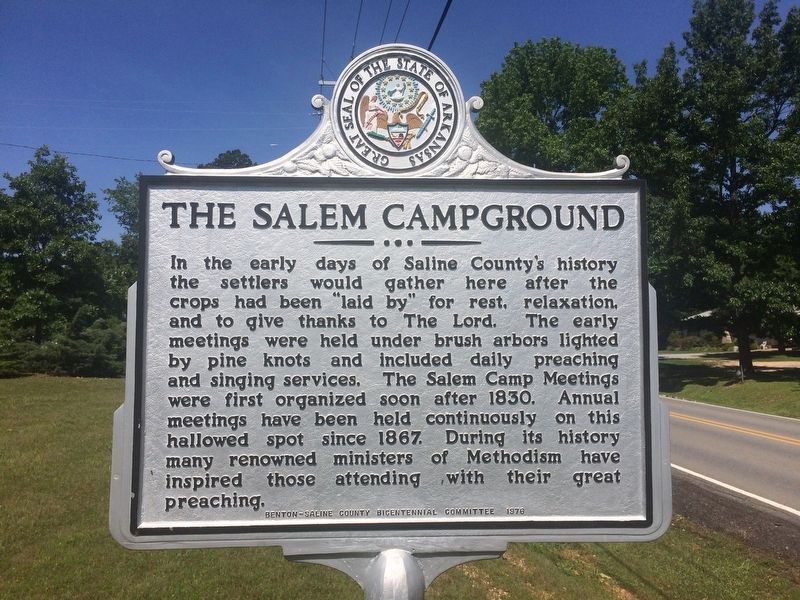
Photographed by Larry Bueche, June 3, 2017
1. The Salem Campground Marker
Erected 1976 by Saline County Bicentennial Committee.
Topics. This historical marker is listed in these topic lists: Entertainment • Religion & Religious Structures.
Location. 34° 37.738′ N, 92° 33.663′ W. Marker is in Benton, Arkansas, in Saline County. It is on Salem Road. Marker is in front of Salem United Methodist Church. Touch for map. Marker is in this post office area: Salem AR 72576, United States of America. Touch for directions.

Regionally, this marker is in the Little Rock Metropolitan Area and in the Ouachita Mountains.
this page online
Other nearby markers. At least 8 other markers are within 5 miles of this marker, measured as the crow flies: George M. Holt / William Ayers Crawford (approx. 3.3 miles away); 11th Arkansas Infantry, C.S.A. (approx. 3.8 miles away); The Niloak Pottery (approx. 3.8 miles away); De Soto Trail (approx. 4.4 miles away); Ashley Park (approx. 4.6 miles away); The Benton Courier (approx. 4.6 miles away); City of Bryant (approx. 4.6 miles away); Operation Iraqi Freedom / Operation Enduring Freedom Memorial (approx. 4.6 miles away). Touch for a list and map of all markers in Benton.
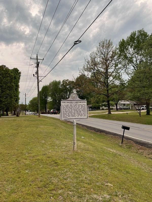
Photographed by Thomas Smith, April 15, 2023
2. The Salem Campground Marker
Credits. This page was last revised on May 14, 2023. It was originally submitted on June 3, 2017, by Cody Lynn Berry of Benton, Arkansas. This page has been viewed 1,004 times since then and 47 times this year. Photos: 1. submitted on June 3, 2017, by Cody Lynn Berry of Benton, Arkansas. 2. submitted on April 15, 2023, by Thomas Smith of Waterloo, Ill. • Bill Pfingsten was the editor who published this page.
