Farmington Hills in Oakland County, Michigan — The American Midwest (Great Lakes)
Sleepy Hollow
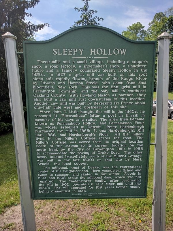
Three mills and a small village, including a cooper's shop, a soap factory, a shoemaker's shop, a slaughterhouse and a tannery comprised Sleepy Hollow in the 1830's. In 1827 a grist mill was built on this spot along this rapidly flowing branch of the Rouge River by Edward and Harmon Steele, who came from East Bloomfield, New York. This was the first grist mill in Farmington Township, and the only mill in southeast Oakland County. With Howland Mason as partner, they also built a saw mill just downstream of this location. Another saw mill was built by Reverend Eri Prince about one-half mile west and upstream of this site.
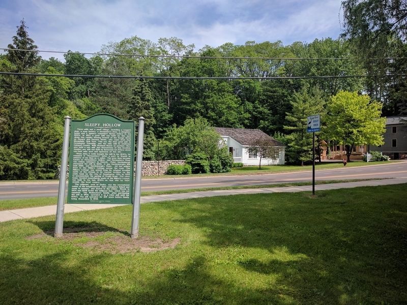
When John T. Little bought the mill in the 1840's, he renamed it "Pernambuco" (after a port in Brazil) in memory of his days as a sailor. The area then became known as Pernambuco Hollow, and Pernambuco Flour was widely esteemed in Detroit. Peter Hardenbergh purchased the mill in 1868; it was Hardenbergh's Mill until 1886, and Hardenbergh's Flour. All the millers lived in the Miller's Cottage across the road. The Miller's Cottage was moved from its current location on the south bank by the City of Farmington Hills in 1988 to accommodate the paving of Drake Road. The other home, located immediately south of the Miller's Cottage, was built in the late 1830's on that site by Mark Arnold, the local cooper.
The millpond, west of Drake, was the recreational center of the neighborhood. Here youngsters fished and swam in the summer, and skated in the winter. Floods in 1904 and 1908 broke the millpond dam, which was not repaired. The Wadenstorer family, after purchasing the mill in 1902, operated it as a cider mill until the 1930's. The mill operated for 109 years before finally being dismantled in 1936.
Erected 1988 by Farmington Hills Historical Commission.
Topics. This historical marker is listed in these topic lists: Industry & Commerce • Settlements & Settlers. A significant historical year for this entry is 1827.
Location. 42° 29.361′ N, 83° 24.041′ W. Marker is in Farmington Hills, Michigan, in Oakland County. Marker is at the intersection of Drake Road and Howard Road, on the left when traveling north on Drake Road. Touch for map. Marker is in this post office area: Farmington MI 48331, United States of America. Touch for directions.
Other nearby markers. At least 8 other markers are within 2 miles of this marker, measured as the crow flies. The Old Mill (within shouting distance of this marker); The Pettibone House (approx. 0.7 miles away); The Harger House (approx. 0.7 miles away); The Worker's Camp (approx. 0.7 miles away); Hamilton Jones House (approx. ¾ mile away); West Farmington Cemetery (approx. one mile away);
Lawrence Simmons House (approx. 1.1 miles away); Boorn-Halsted House (approx. 1.2 miles away). Touch for a list and map of all markers in Farmington Hills.
Also see . . .
1. 1827 Miller's Cottage. Video tour of the Miller's Cottage. (Submitted on June 5, 2017, by Joel Seewald of Madison Heights, Michigan.)
2. Farmington Hills Historic Districts. See #16 for more information about the Mark Arnold house. (Submitted on June 5, 2017, by Joel Seewald of Madison Heights, Michigan.)
Credits. This page was last revised on June 5, 2017. It was originally submitted on June 5, 2017, by Joel Seewald of Madison Heights, Michigan. This page has been viewed 1,023 times since then and 44 times this year. Photos: 1, 2, 3. submitted on June 5, 2017, by Joel Seewald of Madison Heights, Michigan.


