Louisville in Jefferson County, Kentucky — The American South (East South Central)
Louisville Water Works
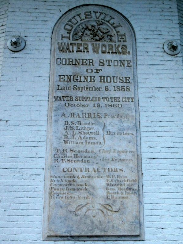
Photographed by Michael Herrick, May 18, 2017
1. Louisville Water Works Marker
Corner Stone
of
Engine House
Laid September 6, 1858
Water Supplied to the City
October 16, 1860
A. Harris, President
Topics. This historical marker is listed in these topic lists: Architecture • Industry & Commerce.
Location. 38° 16.832′ N, 85° 42.071′ W. Marker is in Louisville, Kentucky, in Jefferson County. It is at the intersection of River Road and Zorn Avenue, on the right when traveling south on River Road. Located in Louisville Water Tower Park. Touch for map. Marker is at or near this postal address: 3005 River Road, Louisville KY 40207, United States of America. Touch for directions.

Regionally, this marker is in the American South, specifically in the Upper South, and
this page online
Other nearby markers. At least 8 other markers are within 2 miles of this marker, measured as the crow flies: Water Works Pumping Station (within shouting distance of this marker); Water Filtration Experiments (within shouting distance of this marker); Civil War Hospital (approx. 1.1 miles away in Indiana); Patriots Peace Memorial (approx. 1.1 miles away); Beechland (approx. 1.6 miles away); The Heigold Facade (approx. 1.7 miles away); Mockingbird Valley (approx. 1.8 miles away); Kentucky School for the Blind (approx. 1.8 miles away). Touch for a list and map of all markers in Louisville.
Also see . . .
1. Louisville Water Company. (Submitted on June 6, 2017, by Michael Herrick of Southbury, Connecticut.)
2. Louisville WaterWorks Museum. Louisville Water website entry (Submitted on June 6, 2017, by Michael Herrick of Southbury, Connecticut.)
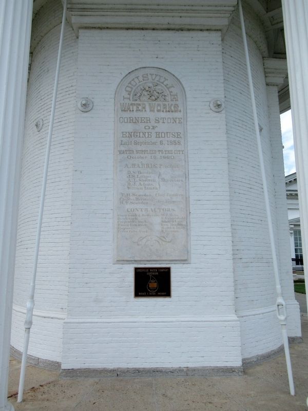
Photographed by Michael Herrick, May 18, 2017
2. Louisville Water Works Marker
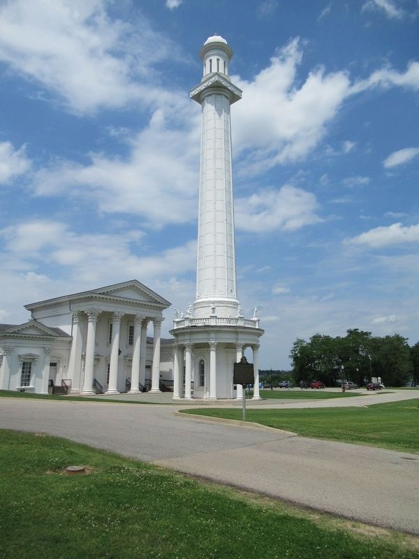
Photographed by Michael Herrick, May 18, 2017
3. Louisville Water Works Tower
Credits. This page was last revised on March 5, 2025. It was originally submitted on June 6, 2017, by Michael Herrick of Southbury, Connecticut. This page has been viewed 474 times since then and 39 times this year. Photos: 1, 2, 3. submitted on June 6, 2017, by Michael Herrick of Southbury, Connecticut.
