Russells Point in Logan County, Ohio — The American Midwest (Great Lakes)
When the Music Died
The History of the Indian Lake Amusement Park
Photographed by Rev. Ronald Irick, June 5, 2017
1. When the Music Died Marker
Inscription.
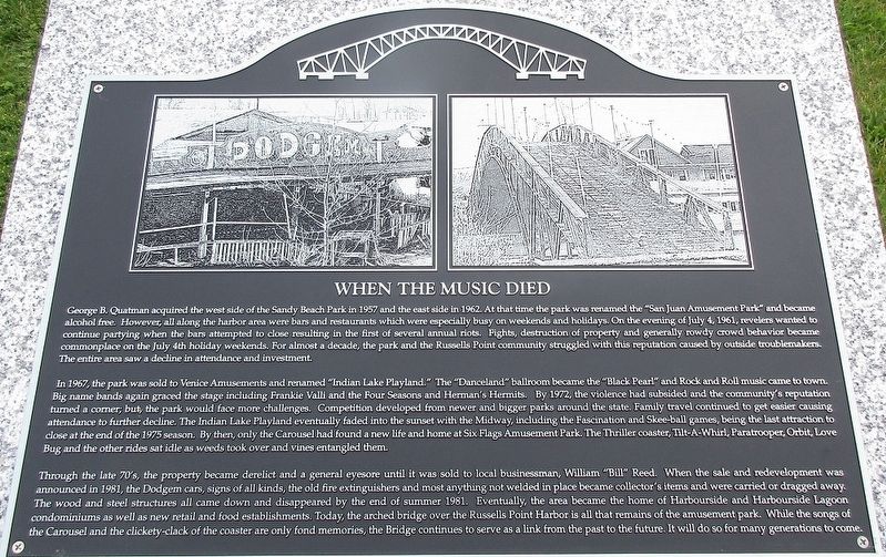
George B. Quatman acquired the west side of the Sandy Beach Park in 1957, and the east side in 1962. At that time the park was renamed the “San Juan Amusement Park” and became alcohol free. However, all along the harbor were bars and restaurants which were especially busy on weekends and holidays. On the evening of July 4, 1961, revelers wanted to continue partying when the bars attempted to close resulting in the first of several annual riots. Fights, destruction of property, and general rowdy crowd behavior became commonplace on the July 4th holiday weekends. For almost a decade, the park and the Russells Point community struggled with this reputation caused by outside troublemakers. The entire area saw a decline in attendance and investment.
In 1967, the park was sold to Venice Amusements and renamed “”Indian Lake Playland.” The “Danceland” ballroom became the “Black Pearl” and Rock and Roll music came to town.Big name bands graced the stage including Frankie Valli and the Four Seasons and Herman’s Hermits. By 1972, the violence had subsided and the community’s
Click or scan to see this page online
reputation turned a corner; but the park would face more challenges. Competition developed from newer and bigger parks around the state. Family travel continued to get easier causing attendance to further decline. The Indian Lake Playland eventually faded into the sunset with the Midway, including the Fascination and Skee-ball games, being the last attraction to close at the end of the 1975 season. By then, only the Carousel had found a new life and home at Six Flags Amusement Park. The Thriller coaster, the Tilt-A-Whirl, Paratrooper, Orbit, Love Bug and the other rides sat idle as weeds took over and vines entangled them.
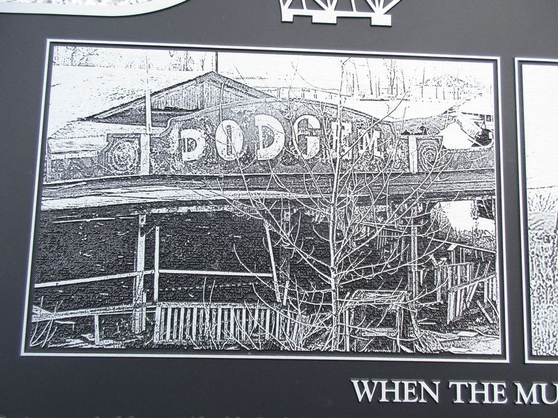
Through the late 70’s the property became derelict and a general eyesore until it was sold to a local businessman, William “Bill” Reed. When the sale and redevelopment was announced in 1981, the Dodgem cars, signs of all kinds, the old fire extinguishers and most everything not welded in place became collector’s items and were carried or dragged away. The wood and steel structures all came down and disappeared by the end of summer 1981. Eventually the area became the home of Harborside and Harborside
Photographed by Rev. Ronald Irick, June 5, 2017
2. When the Music Died Marker
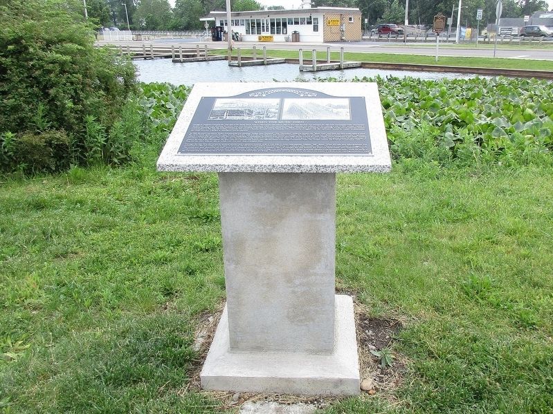
full view of marker
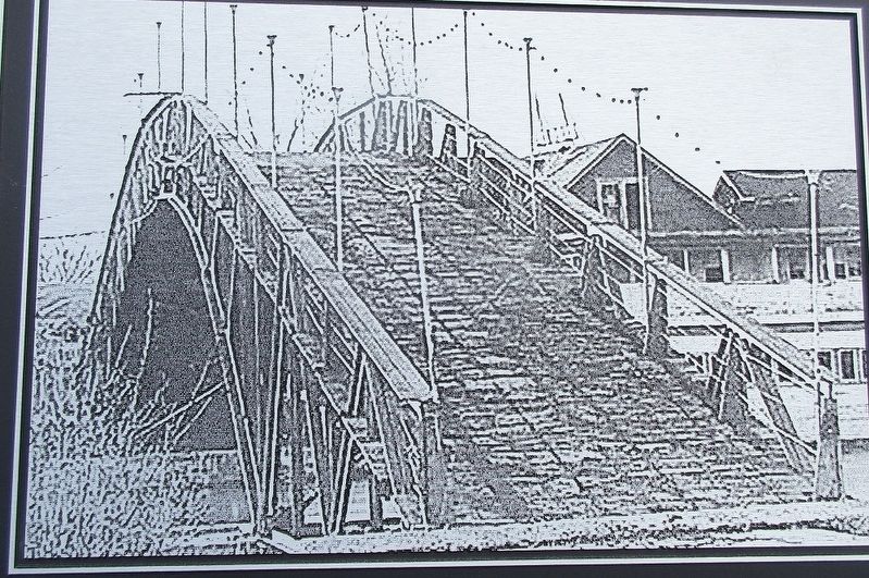
Lagoon condominiums as well as new retail and food establishments. Today the arched bridge over the Russells Point Harbor is all that remains of the amusement park. While the songs of the Carousel and the clickety-clack of the coaster are only fond memories, the Bridge continues to serve as a link from the past to the future. It will do so for many generations to come.
Location. 40° 28.368′ N, 83° 53.735′ W. Marker is in Russells Point, Ohio, in Logan County. It is on West Main Street (Ohio Route 366), on the right when traveling west. Easily accessible from the Rite Aid parking lot. Touch for map. Marker is at or near this postal address: 100 West Main St, Russells Point OH 43348, United States of America. Touch for directions.
Regionally, this marker is in the Till Plains. It is also in the American Midwest and in the Corn Belt. Globally, it is in North America, the Western Hemisphere, the Western World, and the Anglosphere. Historically, it finds
Photographed by Rev. Ronald Irick, June 5, 2017
3. When the Music Died Marker
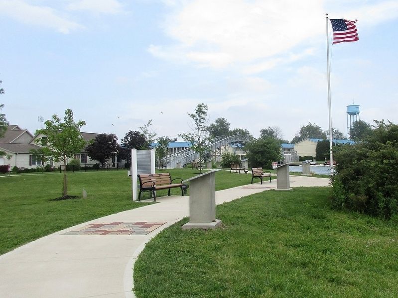
this is the first of six markers on the west side of the harbor/bridge
itself in what was once the Viceroyalty of New France, the Haudenosaunee (Iroquois) Confederacy, the territory of the Mississippian Culture, and the Northwest Territory.
detail of picture on marker. This was the old "Dodgem Cars". I remember riding these as a kid.
Photographed by Rev. Ronald Irick, June 5, 2017
5. When the Music Died Marker
detail of the picture on the marker- the bridge
Credits. This page was last revised on June 8, 2017. It was originally submitted on June 7, 2017, by Rev. Ronald Irick of West Liberty, Ohio. This page has been viewed 2,694 times since then and 163 times this year. Photos:1, 2, 3, 4, 5. submitted on June 7, 2017, by Rev. Ronald Irick of West Liberty, Ohio. • Bill Pfingsten was the editor who published this page.