Russells Point in Logan County, Ohio — The American Midwest (Great Lakes)
The Villages
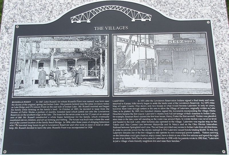
Photographed by Rev. Ronald Irick, June 5, 2017
1. The Villages Marker
Russells Point
In 1847, John Russell, for whom Russells Point is named, was born near the shores of the original spring-fed Indian Lake. His parents farmed near the areas we know today as Lake Ridge and O’Connors Point on the east side of Indian Lake. Mr. Russell married and began his family while farming on his family’s land. In October 1891, he decided to lease from the Bureau of Public Works a portion of marshy, forested land which jutted out into the Lewistown Reservoir on the southern edge of the lake. The lease for the seven acres was for 15 years at an annual rent of $48. Mr. Russell constructed a white frame farmhouse for his family, which eventually numbered eleven children, and set up farming and fishing. The house was built near where the west end of the current location of the Sandy Beach Bridge. In 1894, after three years of obliging fishermen who had traveled long hours to get to the Lewistown Reservoir and who were in need of food or other help, Mr. Russell decided to leave the area. Russells Point was incorporated in 1928.
Lakeview
In 1831 after the Lewistown Reservaton Indians signed a final treaty
this page online
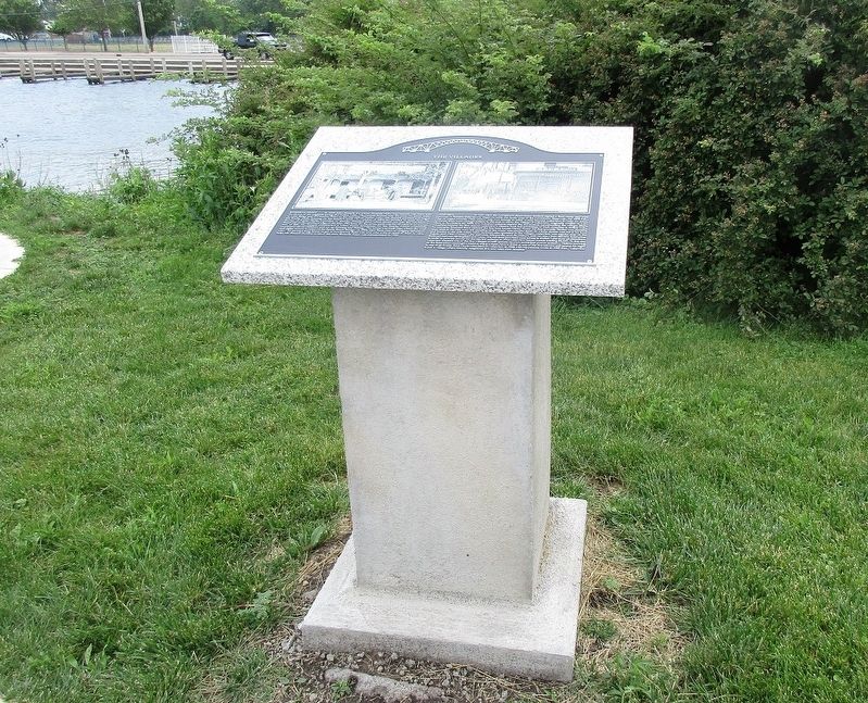
Photographed by Rev. Ronald Irick, June 5, 2017
2. The Villages Marker
Erected 2017 by The Indian Lake Historical Society.
Topics. This historical marker is listed in these topic lists: Railroads & Streetcars • Settlements & Settlers.
Location. 40° 28.37′ N, 83° 53.724′ W. Marker is in Russells Point, Ohio, in Logan County. It is on West Main Street (Ohio Route 366), on the right when traveling west. Touch for map. Marker is at or near this postal address: 100 West Main St, Russells Point OH 43348, United States of America. Touch for directions.

Regionally, this marker is in Ohio’s Till Plains. It is also in the American Midwest and in the Corn Belt. Globally, it is in North America, the Western Hemisphere, the
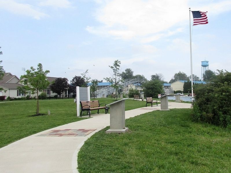
Photographed by Rev. Ronald Irick, June 5, 2017
3. The Villages Marker
the second pedestal, nearest the flagpole
Other nearby markers. At least 8 other markers are within walking distance of this marker: Islands and Beaches (a few steps from this marker); When the Music Died (a few steps from this marker); 1913 Flood (a few steps from this marker); Sandy Beach Amusement Park (within shouting distance of this marker); Our Lady of Fatima (within shouting distance of this marker); Native Americans (within shouting distance of this marker); Miami- Erie Canal / Lewistown Reservoir (about 300 feet away, measured in a direct line); Interurban Transportation (about 300 feet away). Touch for a list and map of all markers in Russells Point.
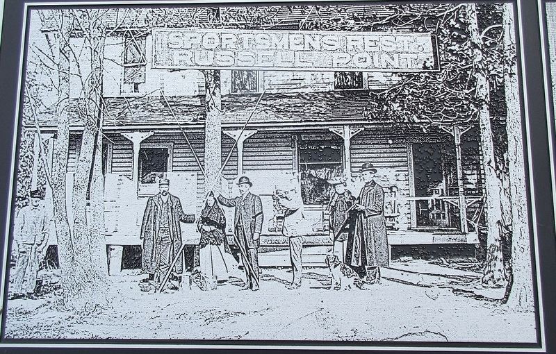
Photographed by Rev. Ronald Irick, June 5, 2017
4. The Villages Marker
detail of picture of old Russells Point
Photographed by Rev. Ronald Irick, June 5, 2017
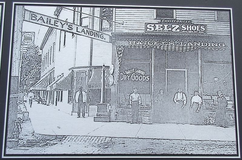
5. The Villages Marker
detail of picture of old Lakeview, The building is still standing in downtown, and is operated as "Bailey's Landing", an ice cream parlor.
Credits. This page was last revised on June 8, 2017. It was originally submitted on June 7, 2017, by Rev. Ronald Irick of West Liberty, Ohio. This page has been viewed 1,213 times since then and 78 times this year. Photos: 1, 2, 3, 4, 5. submitted on June 7, 2017, by Rev. Ronald Irick of West Liberty, Ohio. • Bill Pfingsten was the editor who published this page.
