
Laurel Bloomery in Johnson County, Tennessee — The American South (East South Central)
Laurel Bloomery
Photographed by J. J. Prats, June 9, 2017
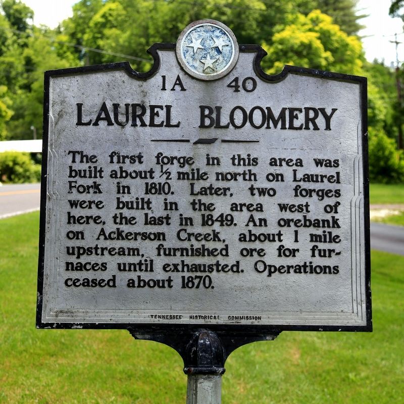
1. Laurel Bloomery Marker
Erected by Tennessee Historical Commission. (Marker Number 1A 40.)
Topics and series. This historical marker is listed in this topic list: Industry & Commerce. In addition, it is included in the Tennessee Historical Commission series list. A significant historical year for this entry is 1810.
Location. 36° 34.038′ N, 81° 45.567′ W. Marker is in Laurel Bloomery, Tennessee, in Johnson County. It is on State Highway 91 near Gentry Creek Road, on the left when traveling north. Touch for map. Marker is in this post office area: Laurel Bloomery TN 37680, United States of America. Touch for directions.

Regionally, this marker is in East Tennessee. It is also in the American South, specifically in the Upper South, in Appalachia, and specifically in Southern Appalachia. Globally, it is in North America, the Western Hemisphere, the Western World,
this page online
Other nearby markers. At least 8 other markers are within 5 miles of this marker, measured as the crow flies: Boone Trail Highway (a few steps from this marker); Washington County, Virginia / Tennessee (approx. 3.1 miles away); Backbone Rock (approx. 3.6 miles away); Transition from Rail to Trail (approx. 4.4 miles away in Virginia); Norfolk & Western Camp Car 1940 (approx. 4.6 miles away in Virginia); Virginia Creeper Trail (approx. 4.8 miles away in Virginia); Legion Island (approx. 4.9 miles away in Virginia); Churches of Damascus (approx. 5 miles away in Virginia). Touch for a list and map of all markers in Laurel Bloomery.
Also see . . . Wikipedia Entry. “The Old Time Fiddler's Convention is held the Saturday before Labor Day weekend at the Old Mill Music Park. Local musicians travel far and wide to attend this festival, marked with old time folk and bluegrass music. It marks
Photographed by J. J. Prats, June 9, 2017
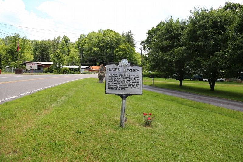
2. Laurel Bloomery Marker
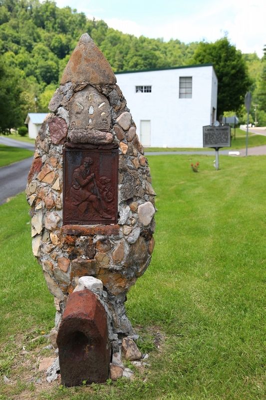
The Daniel Boone Trail monument is in the background to the left of the marker.
Photographed by J. J. Prats, June 9, 2017
3. Boone Trail Highway Monument
Photographed by J. J. Prats, June 9, 2017
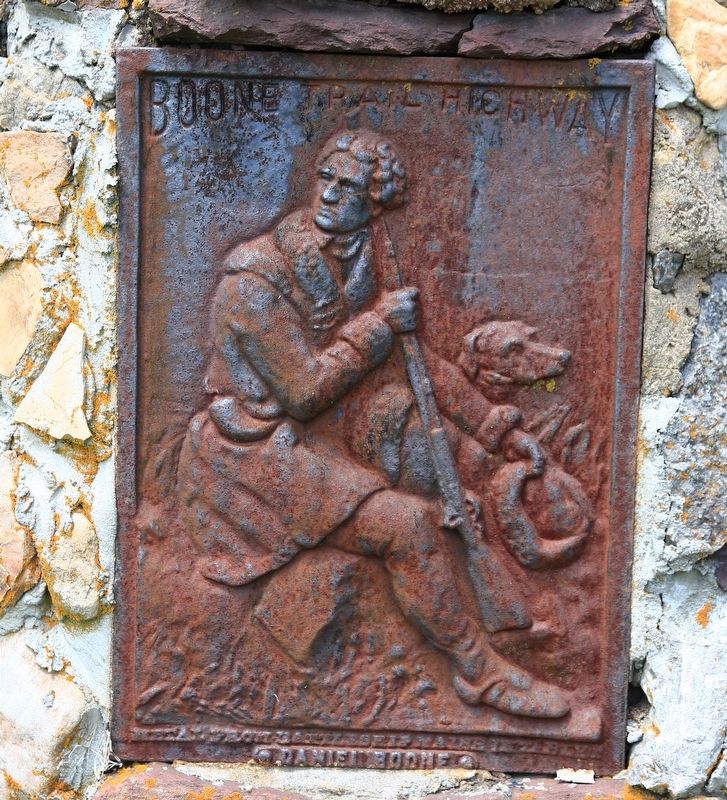
4. Plaque on the Boone Trail Highway Marker
Credits. This page was last revised on March 22, 2022. It was originally submitted on June 14, 2017, by J. J. Prats of Powell, Ohio. This page has been viewed 1,293 times since then and 104 times this year. Photos: 1, 2, 3, 4. submitted on June 14, 2017, by J. J. Prats of Powell, Ohio.
