Stadium Area in Baltimore, Maryland — The American Northeast (Mid-Atlantic)
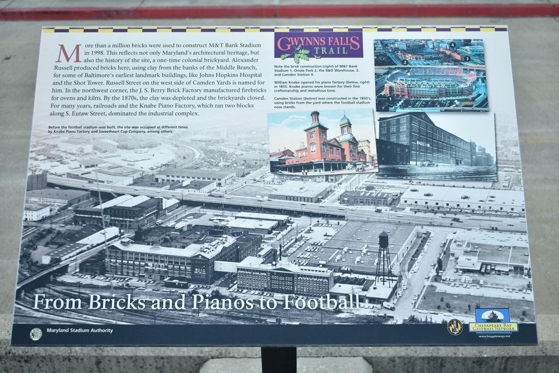
From Bricks and Pianos to Football
Gwynns Falls Trail
More than a million bricks were used to construct M&T Bank Stadium in 1998. This reflects not only Marylandís architectural heritage, but also the history of the site, a one-time colonial brickyard. Alexander Russell produced bricks here, using clay from the banks of the Middle Branch, for some of Baltimoreís earliest landmark buildings, like Johns Hopkins Hospital and the Shot Tower. Russell Street on the west side of Camden Yards is named for him. In the northwest corner, the J.S. Berry Brick Factory manufactured firebricks for ovens and kilns. By the 1870s, the clay was depleted and the brickyards closed. From many years, railroads and the Knabe Piano Factory, which ran two blocks along S. Eutaw Street, dominated the industrial complex.
[Captions:]
Before the football stadium was built, the site was occupied at different time by Knabe Piano Factory and Sweetheart Cup Company, among others.
Note the brick construction (right) of M&T Bank Stadium
1 Oriole Park
2 the B&O Warehouse
3 and Camden Station
4 William Knabe opened his piano factory (below, right) in 1855. Knabe pianos were known for their fine craftsmanship and melodious tone. Camden Station (below) was constructed in the 1850ís, using bricks from the yard where the football stadium now stands.
Topics. This historical
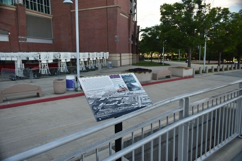
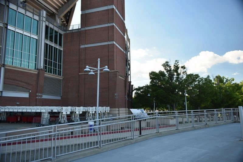
Location. 39° 16.678′ N, 76° 37.259′ W. Marker is in Baltimore, Maryland. It is in the Stadium Area. Marker is on Howard Street. The marker is at the end of the pedestrian bridge that goes over the light rail. Touch for map. Marker is in this post office area: Baltimore MD 21230, United States of America. Touch for directions.
Other nearby markers. At least 8 other markers are within walking distance of this marker. Johnny Unitas (about 500 feet away, measured in a direct line); Struggling For Equality (about 700 feet away); Solo Gibbs Park (about 800 feet away); Henry G. Parks, Jr. (approx. 0.2 miles away); Gwynns Falls Trail (approx. 0.2 miles away); Leadenhall Baptist Church (approx. 0.2 miles away); Maryland Stadium Complex at Ostend and Warner Streets (approx. 0.2 miles away); Federal Hill and Otterbein (approx. ľ mile away). Touch for a list and map of all markers in Baltimore.
Credits. This page was last revised on February 16, 2021. It was originally submitted on June 15, 2017, by Don Morfe of Baltimore, Maryland. This page has been viewed 275 times since then and 17 times this year. Photos: 1, 2, 3. submitted on June 15, 2017, by Don Morfe of Baltimore, Maryland. • Bill Pfingsten was the editor who published this page.


