Middlesex Township near Carlisle in Cumberland County, Pennsylvania — The American Northeast (Mid-Atlantic)
Guard Tower
Photographed by Larry Gertner, September 11, 2012
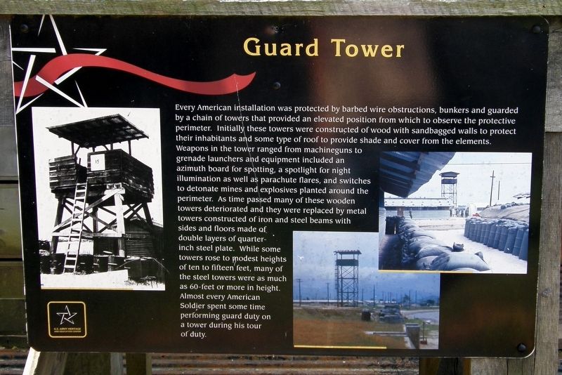
1. Guard Tower Marker
Erected by U.S. Army Heritage and Education Center.
Topics. This
this page online
Location. Marker has been permanently removed. It was located near 40° 12.3′ N, 77° 9.456′ W. Marker was near Carlisle, Pennsylvania, in Cumberland County. It was in Middlesex Township. It could be reached from Army Heritage Drive. Touch for map. Marker was in this post office area: Carlisle PA 17013, United States of America.
We have been informed that this marker is no longer there and will not be replaced. This page is an archival view of what was.
Regionally, this marker was in South-Central Pennsylvania and in Greater Harrisburg. It was also in the American Northeast, in the Mid-Atlantic, in Appalachia, and specifically in Northern Appalachia. Globally, it was in North America, the Western Hemisphere, the Western World, and the Anglosphere. Historically, it found itself in what was once the Haudenosaunee (Iroquois) Confederacy and also one of the original Thirteen Colonies.

Other nearby markers. At least 8 other markers are within walking distance of this location: Colonel Joseph D. Newsome (here, next to
Photographed by Larry Gertner, September 11, 2012
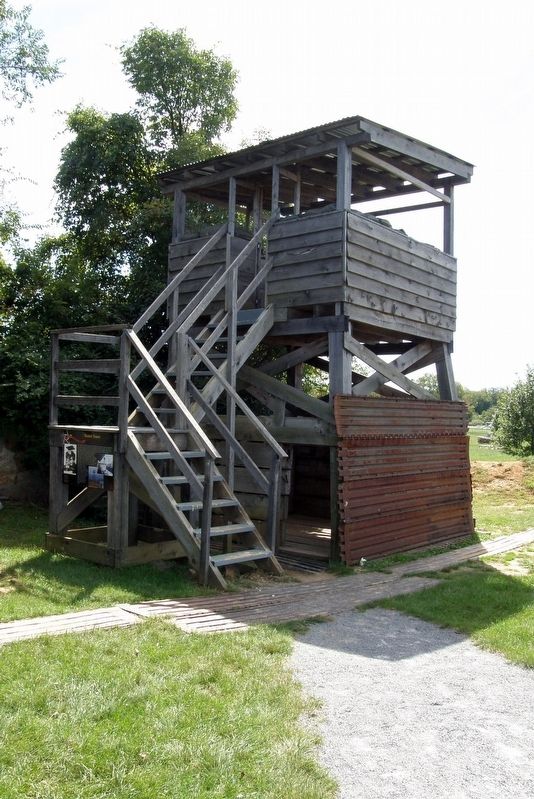
2. The guard tower
Other markers no longer nearby. Final Act – LZ Albany (was here, next to this marker but has been replaced with another marker now near it); COL Joseph D. Newsome (was here, next to this marker but has been replaced with another marker now near it); The Ia Drang Battlefield (was here, next to this marker but has been replaced with another marker now near it).
More about this marker. Part of the Vietnam Fire Support Base exhibit
Photographed by Larry Gertner, September 11, 2012
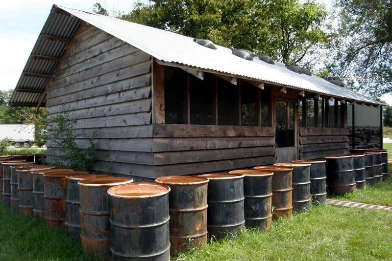
3. Nearby, a "hooch"
Photographed by Larry Gertner, September 5, 2018
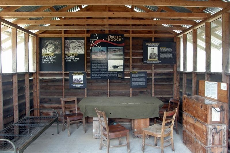
4. Inside the hooch
Recently added displays to the hooch.
Credits. This page was last revised on March 1, 2023. It was originally submitted on June 13, 2017, by Larry Gertner of New York, New York. This page has been viewed 351 times since then and 22 times this year. Last updated on June 15, 2017, by Larry Gertner of New York, New York. Photos: 1, 2, 3. submitted on June 13, 2017, by Larry Gertner of New York, New York. 4. submitted on September 13, 2018, by Larry Gertner of New York, New York. • Bill Pfingsten was the editor who published this page.
