South Nashville in Davidson County, Tennessee — The American South (East South Central)
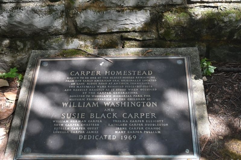
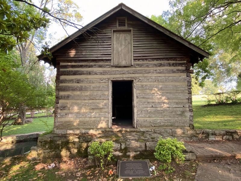
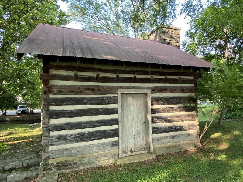
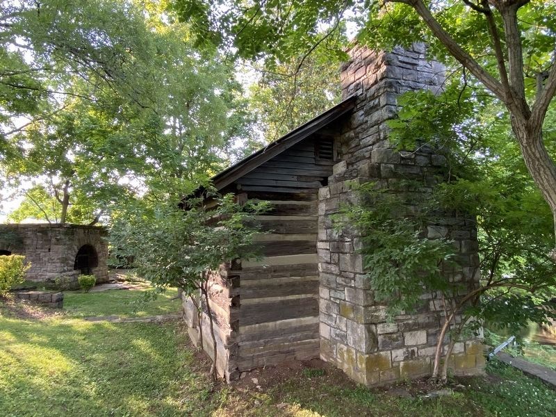
Carper Homestead
Erected 1969 by The Children of William Washington and Susie Black Carper.
Topics. This historical marker is listed in these topic lists: Architecture • Settlements & Settlers.
Location. 36° 7.098′ N, 86° 45.777′ W. Marker is in Nashville, Tennessee, in Davidson County. It is in South Nashville. Marker can be reached from Thompson Lane (Tennessee Route 155) 0.1 miles west of Kraft Drive, on the right when traveling west. Touch for map. Marker is at or near this postal address: 660 Thompson Ln, Nashville TN 37204, United States of America. Touch for directions.
Other nearby markers. At least 8 other markers are within 2 miles of this marker, measured as the crow flies. Hospital Water Source (a few steps from this marker); Melrose (within shouting distance of this marker); Battle of Nashville (approx. ¾ mile away); Cheatham’s Line (approx. ¾ mile away); Woodbine (approx. 0.9 miles away); Vine Hill / Donau (approx. one mile away); Cumberland Park (approx. one mile away); Central High School (approx. 1.2 miles away). Touch for a list and map of all markers in Nashville.
Regarding Carper Homestead. The marker and buildings are inside the cemetery, behind the funeral home in the Gesemany area.
Credits. This page was last revised on February 7, 2023. It was originally submitted on June 15, 2017, by Sandra Hughes Tidwell of Killen, Alabama, USA. This page has been viewed 599 times since then and 36 times this year. Last updated on February 27, 2022, by Darren Jefferson Clay of Duluth, Georgia. Photos: 1. submitted on June 15, 2017, by Sandra Hughes Tidwell of Killen, Alabama, USA. 2, 3, 4. submitted on June 13, 2021, by Darren Jefferson Clay of Duluth, Georgia. • J. Makali Bruton was the editor who published this page.


