Roswell in Chaves County, New Mexico — The American Mountains (Southwest)
Roswell and the New Deal
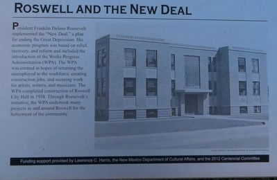
Photographed by Bill Kirchner, June 7, 2017
1. Roswell and the New Deal Marker
Erected by Funding support provided by Lawrence C. Harris, the New Mexico Department of Cultural Affairs, and the 2012 Centennial Committee.
Topics and series. This historical marker is listed in these topic lists: Education • Industry & Commerce. In addition, it is included in the Former U.S. Presidents: #32 Franklin D. Roosevelt, and the Works Progress Administration (WPA) projects series lists. A significant historical year for this entry is 1938.
Location. 33° 23.845′ N, 104° 31.458′ W. Marker is in Roswell, New Mexico,
this page online

Regionally, this marker is in the Pecos Valley. It is also in the American Southwest and on the Southern Plains. Globally, it is in North America, the Western Hemisphere, the Western World, and the Anglosphere. Historically, it finds itself in what was once New Spain, the Comanchería, and the Republic of Texas.
Other nearby markers. At least 8 other markers are within walking distance of this marker: John Simpson Chisum (about 300 feet away, measured in a direct line); Continental Oil Company Station 1 (about 400 feet away); Roswell's Military Institutes (about 400 feet away); Roswell Pioneer Plaza (about 400 feet away); Humble Beginnings (about 400 feet away); Roswell’s First General Store and Post Office (about 500 feet away); N.M. 200th Coast Artillery AA Regt. (about 500 feet away); Chaves County Veterans Memorial (about 500 feet away). Touch for a list and map of all markers in Roswell.
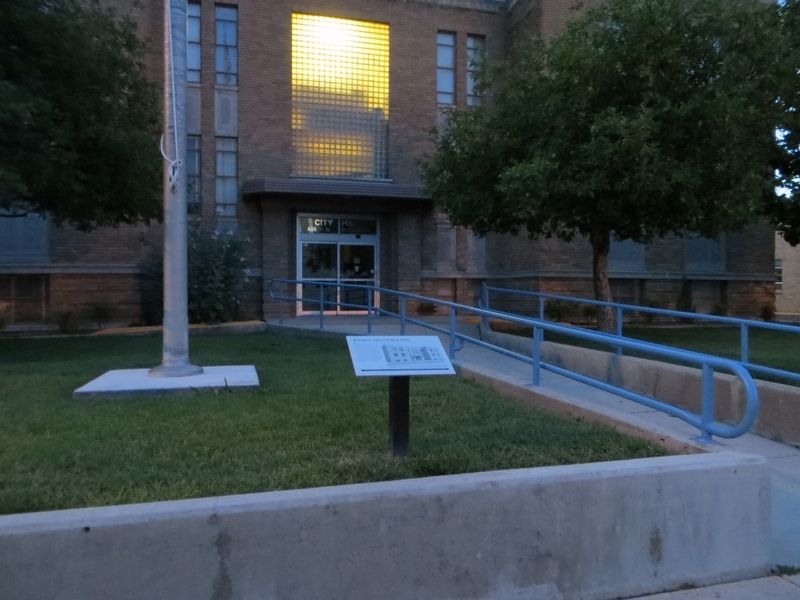
Photographed by Bill Kirchner, June 7, 2017
2. Roswell and the New Deal Marker
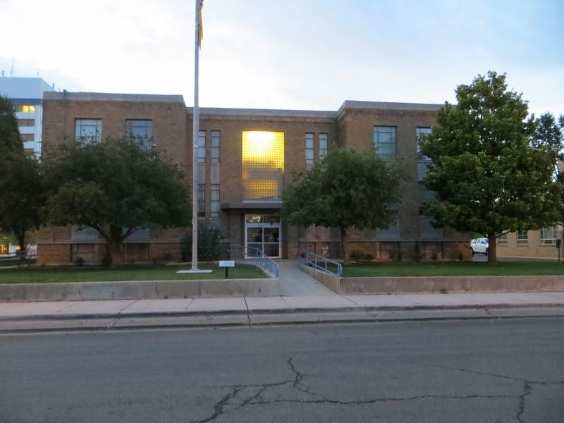
Photographed by Bill Kirchner, June 7, 2017
3. Roswell City Hall
Credits. This page was last revised on June 16, 2017. It was originally submitted on June 16, 2017, by Bill Kirchner of Tucson, Arizona. This page has been viewed 647 times since then and 35 times this year. Photos: 1, 2, 3. submitted on June 16, 2017, by Bill Kirchner of Tucson, Arizona.
