Historic Lock 12
A Long Hidden Relic of the Miami & Erie Canal
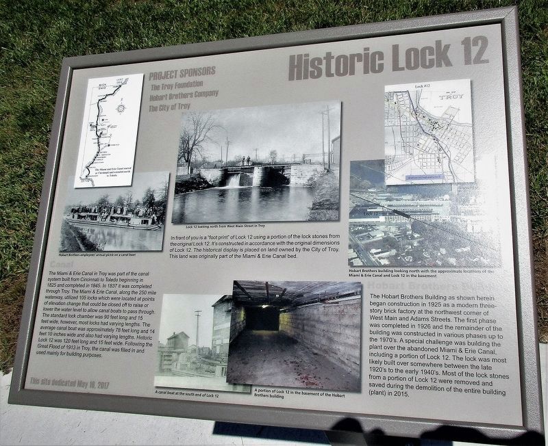
The Miami & Erie Canal in Troy was part of the canal system built from Cincinnati to Toledo beginning in 1825 and completed in 1845. In 1837 it was completed through Troy. The Miami & Erie Canal, along the 250 mile waterway, utilized 105 locks which were located at points of elevation change that would be closed off to raise or lower the water level to allow canal boats to pass through. The standard lock chamber was 90 feet long and 15 feet wide, however, most locks had varying lengths. The average canal boat was 78 feet long and 14 feet and 10 inches wide wide. Following the Great Flood in 1913 in Troy, the canal was filled in and used mainly for building purposes.
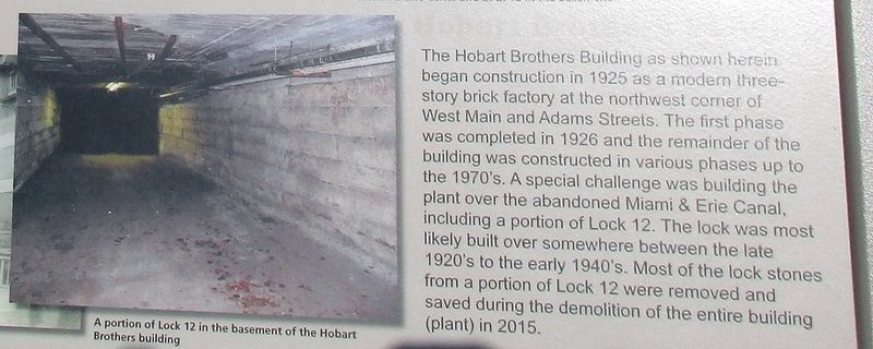
The Hobart Brothers Building as shown herein began construction in 1925 as a modern three-story brick factory at the northwest corner of West Main and Adams Streets. The first phase was completed in 1926 and the remainder of the building was constructed in various phases up to the 1970’s. A special challenge was building the plant over the abandoned Miami
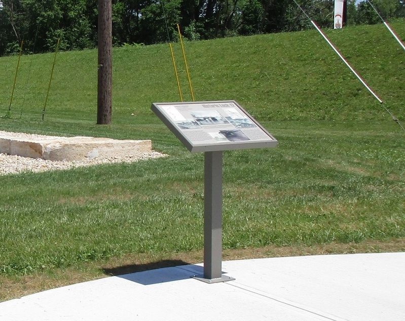
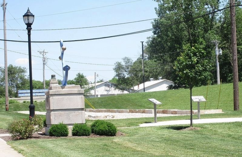
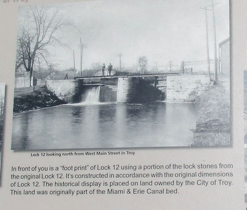
& Erie Canal, including a portion of Lock 12. The lock was most likely built over somewhere between the late 1920’s to early 1940’s. Most of the lock stones from a portion of Lock 12 were removed and saved during the demolition of the entire building (plant) in 2015.Erected 2017 by The Troy Foundation Hobart Brothers The City of Troy.
Topics and series. This historical marker is listed in these topic lists: Architecture • Waterways & Vessels. In addition, it is included in the The Miami & Erie Canal series list.
Location. 40° 2.883′ N, 84° 12.7′ W. Marker is in Troy, Ohio, in Miami County. Marker is on Dixie Highway (County Route 25- A), on the right when traveling north. next to levy on west bank of the Great Miami River. Touch for map. Marker is at or near this postal address: 409 North Elm Street, Troy OH 45373, United States of America. Touch for directions.
Other nearby markers. At least 8 other markers are within walking distance of this marker. Hobart Brothers Company (a few steps from this marker); Miami and Erie Canal (a few steps from this marker); Troy Veterans Memorial (approx. 0.4 miles away); Troy Civil War Monument (approx. half a mile away); Brukner Park (approx. half a mile away); William Norton Edwards (approx. half a mile away); Statue Of Agriculture (approx. 0.6 miles away); Statue Of Industry (approx. 0.6 miles away). Touch for a list and map of all markers in Troy.
Additional keywords. Miami & Erie Canal
Credits. This page was last revised on June 18, 2017. It was originally submitted on June 16, 2017, by Rev. Ronald Irick of West Liberty, Ohio. This page has been viewed 514 times since then and 68 times this year. Photos: 1, 2, 3, 4, 5. submitted on June 16, 2017, by Rev. Ronald Irick of West Liberty, Ohio. • Bill Pfingsten was the editor who published this page.
