Olton in Lamb County, Texas — The American South (West South Central)
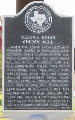
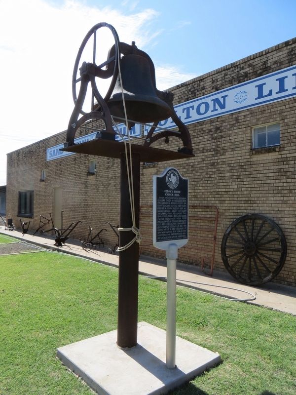
Olton's Union Church Bell
Erected 1978 by Texas Historical Commission. (Marker Number 3858.)
Topics and series. This historical marker is listed in this topic list: Churches & Religion. In addition, it is included in the Historic Bells series list. A significant historical year for this entry is 1908.
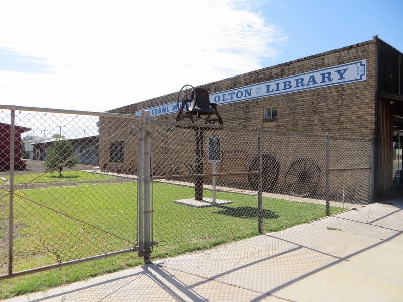
Location. 34° 10.908′ N, 102° 8.087′ W. Marker is in Olton, Texas, in Lamb County. Marker is on South Main Avenue south of 7th Street, on the left when traveling south. Touch for map. Marker is in this post office area: Olton TX 79064, United States of America. Touch for directions.
Other nearby markers. At least 8 other markers are within 13 miles of this marker, measured as the crow flies. Quanah Parker Trail (a few steps from this marker); Site of the First Lamb County Courthouse (about 300 feet away, measured in a direct line); First Baptist Church of Olton (approx. 0.6 miles away); Lamb County (approx. 0.8 miles away); Halfway (approx. 10˝ miles away); Lamb County Sand Hills (approx. 10˝ miles away); One of the Trails of Col. Ranald S. MacKenzie (approx. 11.9 miles away); Center Plains Community (approx. 12.2 miles away). Touch for a list and map of all markers in Olton.
Credits. This page was last revised on June 17, 2017. It was originally submitted on June 17, 2017, by Bill Kirchner of Tucson, Arizona. This page has been viewed 228 times since then and 28 times this year. Photos: 1, 2, 3. submitted on June 17, 2017, by Bill Kirchner of Tucson, Arizona.


