Havre de Grace in Harford County, Maryland — The American Northeast (Mid-Atlantic)
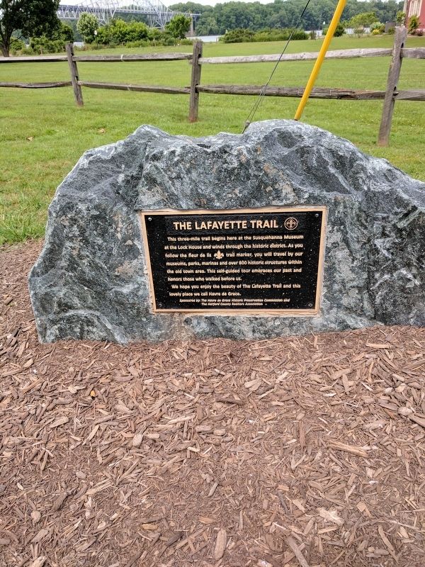
The Lafayette Trail
Photographed by Bill Pfingsten, June 17, 2017
1. The Lafayette Trail Marker
We hope you will enjoy the beauty of The Lafayette Trail and this lovely place we call Havre de Grace.
Erected by The Havre de Grace Historic Preservation Commission and the Harford County Realtors Association.
Topics. This historical marker is listed in this topic list: Notable Places.
Location. 39° 33.357′ N, 76° 5.646′ W. Marker is in Havre de Grace, Maryland, in Harford County. It is on Conesteo Street. Touch for map. Marker is in this post office area: Havre de Grace MD 21078, United States of America. Touch for directions.
Regionally, this marker is in the Baltimore Metro Region and in Central Maryland. It is also in the American Mid-Atlantic, in the Chesapeake Bay Region, and on the Eastern Seaboard. Globally, it is in the
this page online
Other nearby markers. At least 8 other markers are within walking distance of this marker: The Lock House (a few steps from this marker); This Wye Oak (within shouting distance of this marker); a different marker also named This Wye Oak (within shouting distance of this marker); a different marker also named The Susquehanna and Tidewater Canal (within shouting distance of this marker); How A Lock Works (about 300 feet away, measured in a direct line); You Are Standing On A Pivot (Or Swing) Bridge (about 300 feet away); Susquehanna River Crossing (approx. 0.3 miles away); Harford County - Related U.S.C.T. Civil War Soldiers (approx. 0.3 miles away). Touch for a list and map of all markers in Havre de Grace.
Other markers no longer nearby. The Susquehanna and Tidewater Canal (was within shouting distance of this marker but has been replaced with another marker now near it); How a Lock Works (was within shouting
Photographed by Bill Pfingsten, June 17, 2017
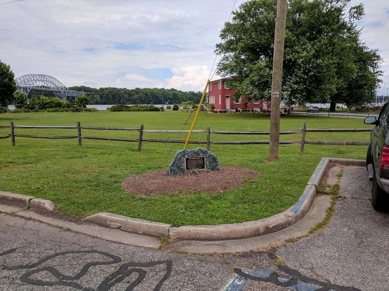
2. The Lafayette Trail Marker
Lock House and Susquehanna River in background.
Photographed by Bill Pfingsten, May 22, 2011
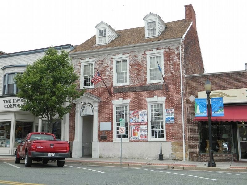
3. Rodger's House Tavern 1768
Building burned by British in 1813. George Washington stopped here in 1787 and 1795.
Photographed by Bill Pfingsten, May 22, 2011
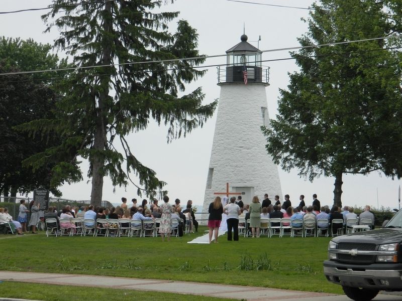
4. Havre de Grace Lighthouse built 1827.
Photographed by Bill Pfingsten, May 22, 2011
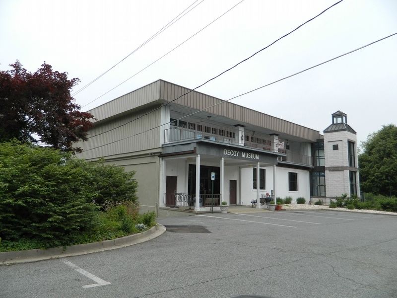
5. The Decoy Museum
Photographed by Bill Pfingsten, May 22, 2011
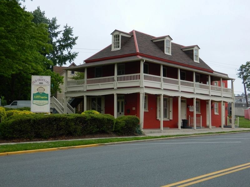
6. The Old Ordinary c.1800
Credits. This page was last revised on June 17, 2017. It was originally submitted on June 17, 2017, by Bill Pfingsten of Bel Air, Maryland. This page has been viewed 735 times since then and 31 times this year. Photos: 1, 2, 3, 4, 5, 6. submitted on June 17, 2017, by Bill Pfingsten of Bel Air, Maryland.
