Adrian in Lenawee County, Michigan — The American Midwest (Great Lakes)
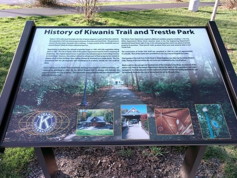
History of Kiwanis Trail and Trestle Park
Early in 1974, with much foresight, the City of Adrian adopted a Land Use Plan that called for the acquisition of all river bank property between Riverside and Island Parks. The goal was to connect the two major city parks with a walkway. A major portion of the riverbanks were on unused Detroit Toledo & Ironton railroad properties.
Negotiating to purchase the railroad properties began in 1985 with title acquisition taking place in 1987. The City of Adrian Parks & Recreation Department took the lead in acquiring all properties. The original objective was to purchase the railroad property from College Avenue to Curtis Road. However, the railroad refused to sell just part of their property but wished to dispose of all of their holdings from College Avenue to Tecumseh as a single parcel. The City questioned how the development and maintenance of property outside the City could be done.
Clyne (Ted) Durst, an Adrian Kiwanis member and long-time supporter of Adrian projects, volunteered to spearhead an effort for the Adrian Kiwanis Club to develop and maintain the property outside the City of Adrian. This eventually came to fruition and henceforth has been called the Kiwanis Trail.
The Adrian Parks Department acquired additional available property including: 1) the City Utility Department's Winter Street retention basin; 2) the City Engineering Department's abandoned Grand Street right of way; 3) the railroad properties; and 4) two pieces of private property by purchase. These parcels make up about thirty acres and comprise what is now Trestle Park.
The construction of Trestle Park itself was completed in 1992 at a cost of approximately $1,250,000. Most of the funds were provided from the City's Harriet Kimble Fee Estate.
Final paving of the trail from Curtis Road to Green Highway was done by the Adrian Kiwanis Club. Paving of the trail within the city limits was completed by the City of Adrian.
Much credit for the concept and development of the trail goes to Ray Maxe, the Director of the Adrian City Parks & Recreation Department during the years of the acquisitions and implementation. The trail and park remain a pleasant, natural recreational facility available for use by everyone thanks to the City of Adrian and the Adrian Kiwanis Club.
Erected 2015.
Topics. This historical marker is listed in these topic lists: Charity & Public Work • Fraternal or Sororal Organizations • Railroads & Streetcars. A significant historical year for this entry is 1974.
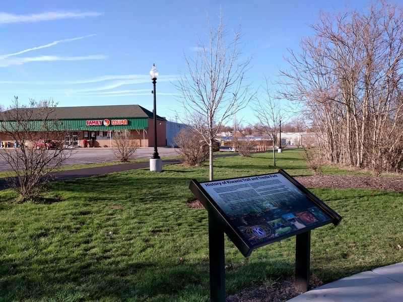
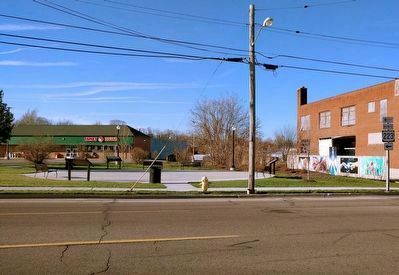
Location. 41° 53.989′ N, 84° 2.49′ W. Marker is in Adrian, Michigan, in Lenawee County. Marker is at the intersection of West Maumee Street (Business U.S. 223) and West Church Street (Business U.S. 223), on the right when traveling west on West Maumee Street. Touch for map. Marker is in this post office area: Adrian MI 49221, United States of America. Touch for directions.
Other nearby markers. At least 8 other markers are within walking distance of this marker. History of the Adrian Kiwanis Club (a few steps from this marker); Spirit of Cooperation (a few steps from this marker); The First House Built in Adrian (about 600 feet away, measured in a direct line); Adrian's Prominent Leaders (approx. 0.2 miles away); Cooley Law Office (approx. 0.2 miles away); Frank Navin & The Detroit Tigers (approx. ¼ mile away); Professional Baseball in Adrian (approx. ¼ mile away); Adrian & The Republican Party (approx. 0.3 miles away). Touch for a list and map of all markers in Adrian.
Also see . . . Kiwanis Trail. Information about the Kiwanis Trail on Wikipedia. (Submitted on June 18, 2017, by Joel Seewald of Madison Heights, Michigan.)
Credits. This page was last revised on June 18, 2017. It was originally submitted on June 18, 2017, by Joel Seewald of Madison Heights, Michigan. This page has been viewed 376 times since then and 39 times this year. Photos: 1, 2, 3. submitted on June 18, 2017, by Joel Seewald of Madison Heights, Michigan.


