Natchez in Adams County, Mississippi — The American South (East South Central)
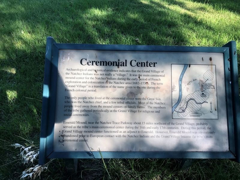
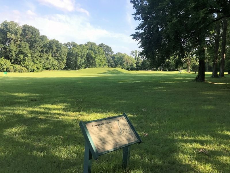
Ceremonial Center
Archaeological and historical evidence indicates that the Grand Village of Natchez Indians was not really a "village." It was the main ceremonial mound center for the Natchez Indians during the period of French exploration and colonization of the Natchez area (1682-1730). The term "Grand Village" is a translation of the name given to the site during the French colonization period.
The only people who lived at the ceremonial center were the Great Sun, who was the Natchez chief, and a few tribal officials. Most of the Natchez people lived away from the mound centers on family farms. The members of the tribe gathered periodically at the Grand Village for religious and social ceremonies.
Emerald Mound, near the Natchez Trace Parkway about 15 miles northeast of the Grand Village, probably served as the tribe's main ceremonial center during the 16th and 17th centuries. During this period the Grand Village mound center functioned as an adjunct to Emerald. However, Emerald Mound was mysteriously abandoned prior to European contact with the Natchez Indians and the Grand Village became the tribe's main ceremonial center.
Topics. This historical marker is listed in this topic list: Native Americans.
Location. 31° 31.483′ N, 91° 22.788′ W. Marker is in Natchez, Mississippi, in Adams County. Marker can be reached from Jeff Davis Boulevard east of Temple Road, on the right. Located on the grounds of the Natchez Grand Village complex. Touch for map. Marker is at or near this postal address: 400 Jeff Davis Blvd,, Natchez MS 39120, United States of America. Touch for directions.
Other nearby markers. At least 8 other markers are within walking distance of this marker. Historic Plaza (within shouting distance of this marker); Native Structures (within shouting distance of this marker); Abandoned Mound (about 300 feet away, measured in a direct line); Road to Fort Rosalie (about 300 feet away); Grand Village of the Natchez Indians (about 400 feet away); Historical Archaeology - the Chief's House and Temple (about 400 feet away); Three Archaeological Excavations (about 500 feet away); Historic Use of Ceremonial Mounds (about 600 feet away). Touch for a list and map of all markers in Natchez.
Credits. This page was last revised on June 18, 2017. It was originally submitted on June 18, 2017, by Cajun Scrambler of Assumption, Louisiana. This page has been viewed 346 times since then and 16 times this year. Photos: 1, 2, 3. submitted on June 18, 2017.


