Laurel Park in Henry County, Virginia — The American South (Mid-Atlantic)
Patrick Henry’s Leatherwood Home
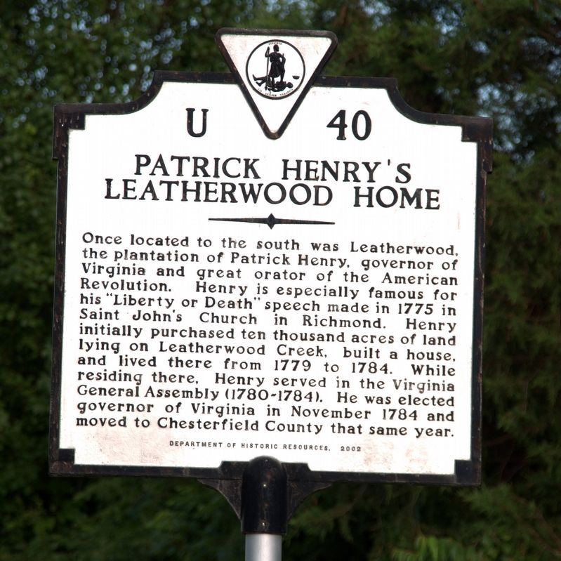
Photographed by J. J. Prats, June 8, 2017
1. Patrick Henry’s Leatherwood Home Marker
Erected 2002 by Department of Historic Resources. (Marker Number U-40.)
Topics and series. This historical marker is listed in these topic lists: Agriculture • Communications • Religion & Religious Structures • Settlements & Settlers • War, US Revolutionary. In addition, it is included in the Virginia Department of Historic Resources (DHR) series list. A significant historical month for this entry is November 1784.
Location. 36° 40.706′ N, 79° 46.66′ W. Marker is in Laurel Park, Virginia, in Henry County. It is at the intersection
this page online

Regionally, this marker is in Southern Virginia. It is also in the American South and specifically in the Upper South. Globally, it is in North America, the Western Hemisphere, the Western World, and the Anglosphere. Historically, it finds itself in what was once the territory of the Mississippian Culture, one of the original Thirteen Colonies, one of the Confederate States of America, and the Antebellum South.
Other nearby markers. At least 8 other markers are within 5 miles of this marker, measured as the crow flies: Patrick Henry (approx. ¾ mile away); Chatmoss (approx. 2 miles away); Continued Connections (approx. 3.3 miles away); Connecting Communities (approx. 3.6 miles away); Dry Bridge School (approx. 4.1 miles away); The Dick & Willie Passage (approx. 4.1 miles away); a different marker also named The Dick & Willie Passage (approx. 4½ miles
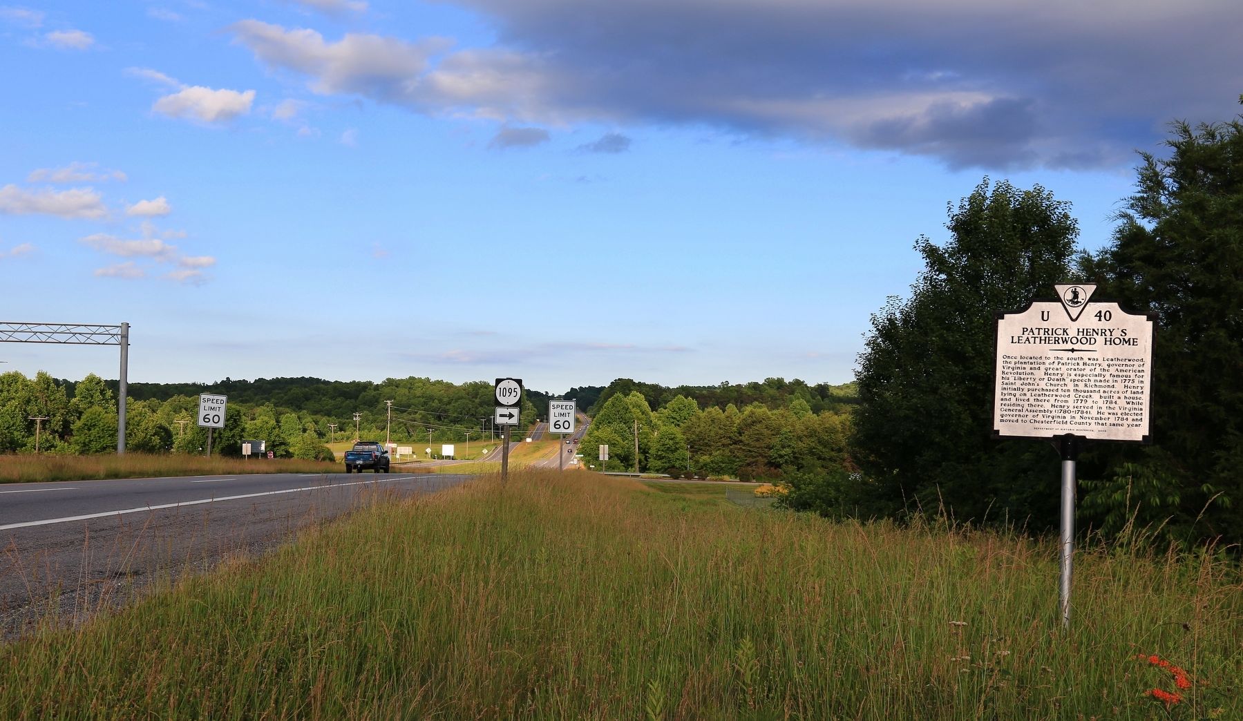
Photographed by J. J. Prats, June 8, 2017
2. Patrick Henry’s Leatherwood Home Marker
More about this marker. This marker replaced a marker with the same number and title erected most likely in the 1970s. This previous marker was on Chatham Road (Virginia Route 57) 0.1 miles east of Blue Knob Road (County Route 628).
That marker read, “Leatherwood, ¼ mile to the south, was the home plantation of Patrick Henry from June 1779 until December 1784, when he left to serve his fourth term as governor of Virginia. Henry was one of the largest landowners of the area and served five terms as a member of the House of Delegates from Henry County.”
There is another Commonwealth of Virginia marker with this same number but with no relation to this marker. The other U-40 marker is titled “Berry Hill” and is located on U.S. Business 58 at Challahan Hills.
Also see . . . Leatherwood Plantation. “Patrick Henry purchased Leatherwood and jointly owned it along with his first cousin, Ann Wilson Carr and her husband, George Waller. After Patrick Henry completed his first term as the first elected governor of Virginia in 1776,

Photographed by C. Ryan Dodson, May 30, 2026
3. Leatherwood Site
This nearby Monument, installed by the DAR in 1922, is located on the site of Leatherwood.

Photographed by C. Ryan Dodson, May 30, 2026
4. Leatherwood Site
This nearby Monument, installed by the DAR in 1922, is located on the site of Leatherwood.
Credits. This page was last revised on May 31, 2026. It was originally submitted on June 19, 2017, by J. J. Prats of Powell, Ohio. This page has been viewed 2,268 times since then and 170 times this year. Photos: 1, 2. submitted on June 19, 2017, by J. J. Prats of Powell, Ohio. 3, 4. submitted on May 30, 2026, by C. Ryan Dodson of Danville, Virginia.
Editor’s want-list for this marker. Photo of the 1922 DAR plaque on a boulder near Leatherwood, on its own page. • Can you help?
