Lockney in Floyd County, Texas — The American South (West South Central)
John Ellison Burns
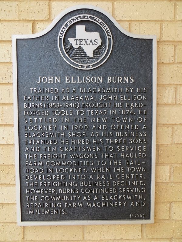
Photographed by Bill Kirchner, June 7, 2017
1. John Ellison Burns Marker
Erected 1983 by Texas Historical Commission. (Marker Number 2777.)
Topics. This historical marker is listed in these topic lists: Industry & Commerce • Railroads & Streetcars • Settlements & Settlers. A significant historical year for this entry is 1874.
Location. 34° 7.462′ N, 101° 26.391′ W. Marker is in Lockney, Texas, in Floyd County. It is on East Locust Street, on the right when traveling east. Touch for map. Marker is at or near this postal address: 218 East Locust Street, Lockney TX 79241, United States of America. Touch for directions.

Regionally, this marker is on
this page online
Other nearby markers. At least 8 other markers are within 12 miles of this marker, measured as the crow flies: The J. A. Baker Store (about 700 feet away, measured in a direct line); First Baptist Church of Lockney (approx. ¼ mile away); First Methodist Church of Lockney (approx. ¼ mile away); Della Plain (approx. 7.8 miles away); Trinity Lutheran Church (approx. 9.4 miles away); Bellview Community and School (approx. 10.1 miles away); Commercial Hotel (approx. 11.3 miles away); Dolphin Ward Floyd (approx. 11.4 miles away). Touch for a list and map of all markers in Lockney.
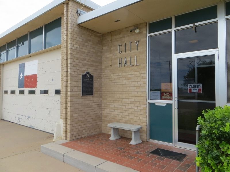
Photographed by Bill Kirchner, June 7, 2017
2. John Ellison Burns Marker
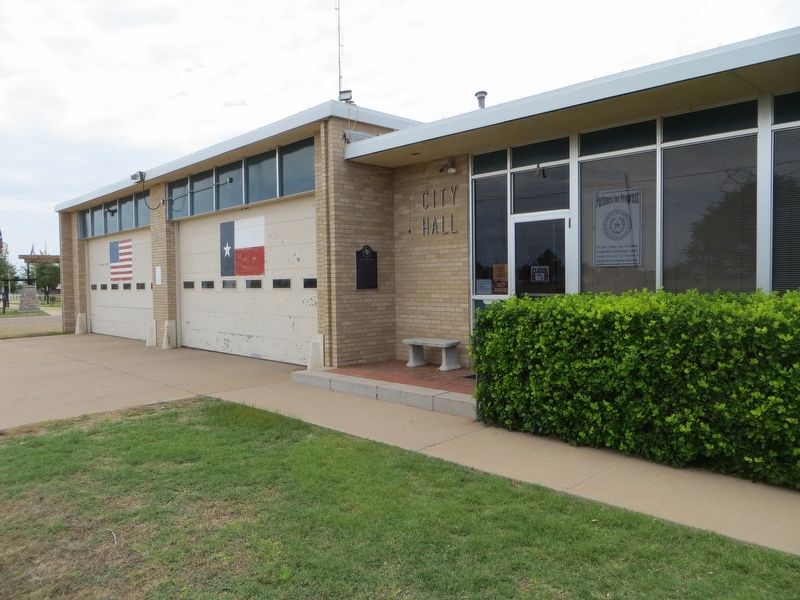
Photographed by Bill Kirchner, June 7, 2017
3. John Ellison Burns Marker
Credits. This page was last revised on December 21, 2019. It was originally submitted on June 21, 2017, by Bill Kirchner of Tucson, Arizona. This page has been viewed 449 times since then and 35 times this year. Photos: 1, 2, 3. submitted on June 21, 2017, by Bill Kirchner of Tucson, Arizona.
