Moraine in Montgomery County, Ohio — The American Midwest (Great Lakes)
Zion Memorial Church
On Old Dixie Highway
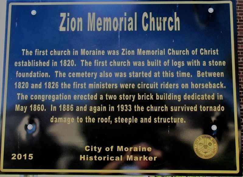
Photographed by Rev. Ronald Irick, June 20, 2017
1. Zion Memorial Church Marker
Erected 2015 by the City of Moraine.
Topics. This historical marker is listed in these topic lists: Cemeteries & Burial Sites • Religion & Religious Structures • Settlements & Settlers.
Location. 39° 41.639′ N, 84° 12.726′ W. Marker is in Moraine, Ohio, in Montgomery County. It is on Old Dixie Highway (U.S. 25) near Stroop Rd., on the right when traveling north. Touch for map. Marker is at or near this postal address: 4000 S Dixie Dr, Dayton OH 45439, United States of America. Touch for directions.

Regionally, this marker is in Ohio’s Dayton Metro and in the Miami Valley. It is also in the American Midwest and in the
this page online
Other nearby markers. At least 8 other markers are within 2 miles of this marker, measured as the crow flies: Great Miami Turnpike (approx. ¼ mile away); Delco-Light and Frigidaire (approx. 0.4 miles away); Dayton-Wright Airplane Factory (approx. 0.4 miles away); Historic Blanchard Avenue (approx. 0.4 miles away); Moraine Veterans Memorial (approx. 0.8 miles away); Moraine Field (approx. 0.9 miles away); Ohio Department of Natural Resources 75th Anniversary (approx. 1.2 miles away); Wright Model G Seaplane (approx. 1.3 miles away). Touch for a list and map of all markers in Moraine.
Additional keywords. Old Dixie Highway
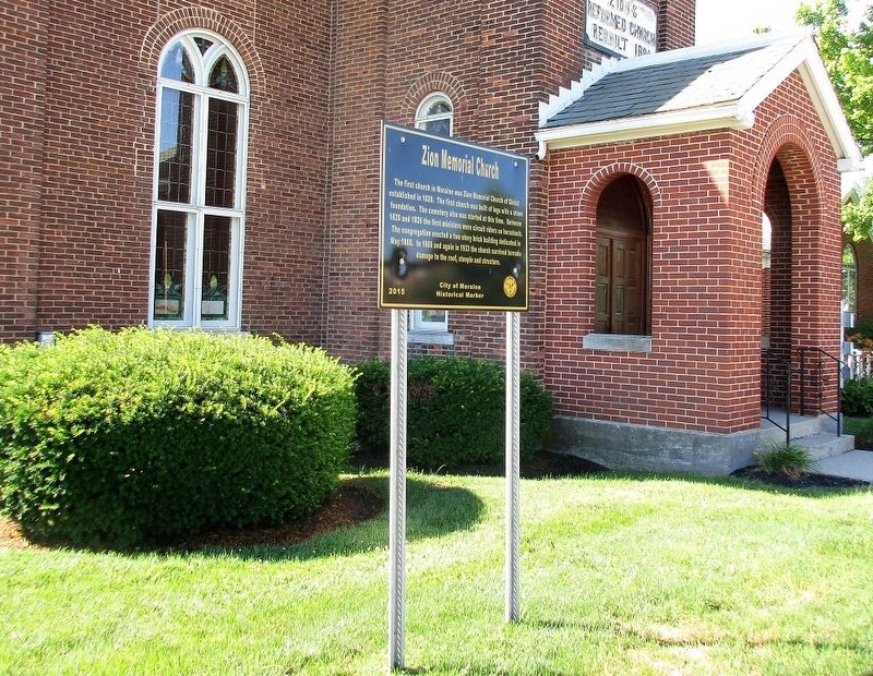
Photographed by Rev. Ronald Irick, June 20, 2017
2. Zion Memorial Church Marker
full view of marker
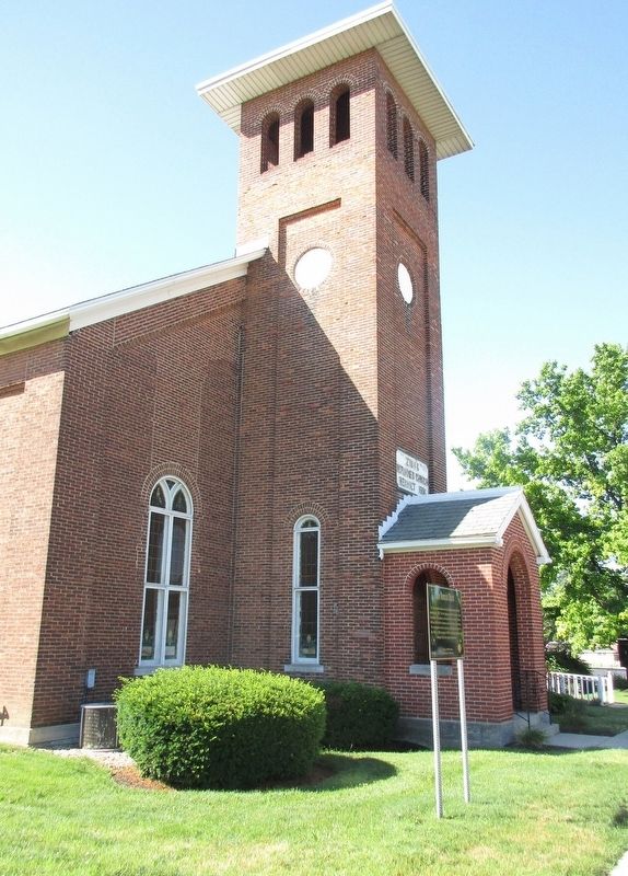
Photographed by Rev. Ronald Irick, June 20, 2017
3. Zion Memorial Church Marker
looking towards the church, from the curb of Dixie Highway
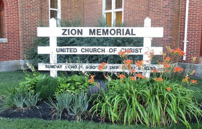
Photographed by Rev. Ronald Irick, June 20, 2017
4. Zion Memorial Church Marker
the Church sign
Photographed by Rev. Ronald Irick, June 20, 2017
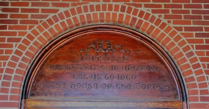
5. Zion Memorial Church Marker
carving above church door
Credits. This page was last revised on November 21, 2017. It was originally submitted on June 22, 2017, by Rev. Ronald Irick of West Liberty, Ohio. This page has been viewed 885 times since then and 90 times this year. Photos: 1, 2, 3, 4, 5. submitted on June 22, 2017, by Rev. Ronald Irick of West Liberty, Ohio. • Bill Pfingsten was the editor who published this page.
