Floydada in Floyd County, Texas — The American South (West South Central)
Zimmerman House
Photographed by Bill Kirchner, June 7, 2017
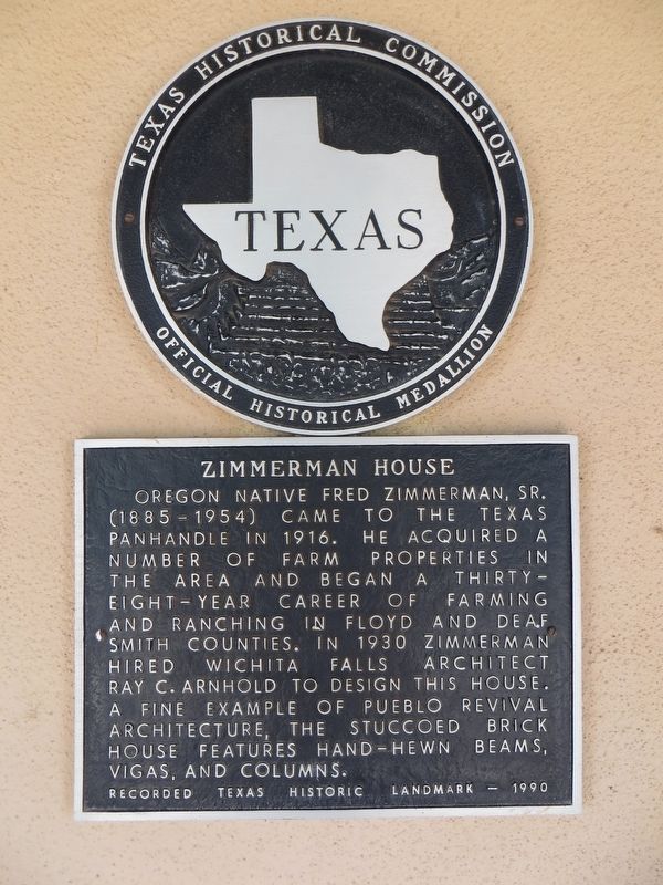
1. Zimmerman House Marker
Recorded Texas Historic Landmark – 1990
Erected 1990 by Texas Historical Commission. (Marker Number 5953.)
Topics. This historical marker is listed in this topic list: Architecture. A significant historical year for this entry is 1930.
Location. 33° 58.812′ N, 101° 20.588′ W. Marker is in Floydada, Texas, in Floyd County. It can be reached from South 1st Street. Touch for map. Marker is at or near this postal address: 516 South 1st Street, Floydada TX 79235, United States of America. Touch for directions.

Regionally, this marker is on Texas’ South Plains. It is also on the American Great Plains and specifically on the Southern Plains. Globally, it is in North America, a Gulf
this page online
Other nearby markers. At least 8 other markers are within walking distance of this marker: Floydada, Texas (approx. 0.2 miles away); First Methodist Church of Floydada (approx. 0.4 miles away); Floydada Lodge No. 712, A. F. & A. M. (approx. half a mile away); Floydada Chapter No. 31, Order of the Eastern Star (approx. half a mile away); First Baptist Church of Floydada (approx. half a mile away); Commercial Hotel (approx. half a mile away); First National Bank of Floydada (approx. 0.6 miles away); Organization of Floyd County (approx. 0.6 miles away). Touch for a list and map of all markers in Floydada.
Photographed by Bill Kirchner, June 7, 2017
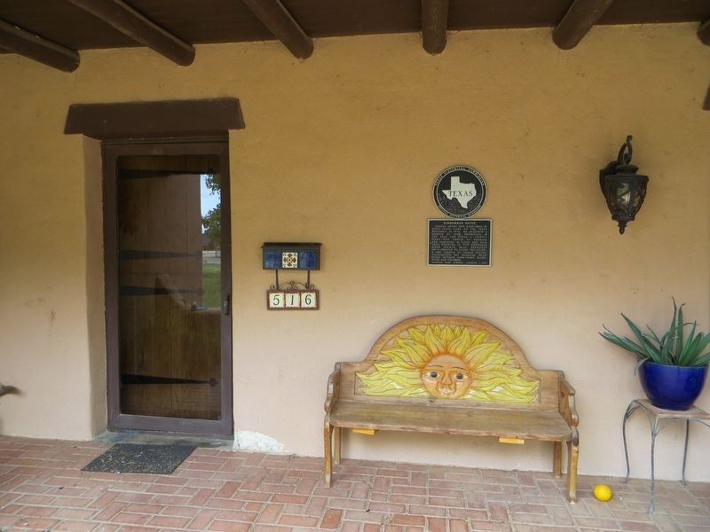
2. Zimmerman House Marker
Photographed by Bill Kirchner, June 7, 2017
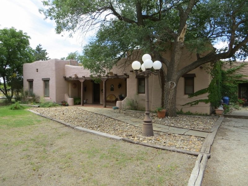
3. Zimmerman House
Credits. This page was last revised on June 22, 2017. It was originally submitted on June 22, 2017, by Bill Kirchner of Tucson, Arizona. This page has been viewed 989 times since then and 31 times this year. Photos: 1, 2, 3. submitted on June 22, 2017, by Bill Kirchner of Tucson, Arizona.
