Near Matador in Motley County, Texas — The American South (West South Central)
Cottonwood Mott Line Camp
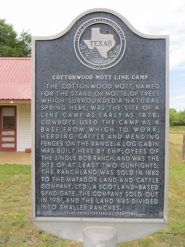
Photographed by Bill Kirchner, June 7, 2017
1. Cottonwood Mott Line Camp Marker
Texas Sesquicentennial 1836-1986
Erected 1986 by Texas Historical Commission. (Marker Number 1079.)
Topics. This historical marker is listed in these topic lists: Agriculture • Animals. A significant historical year for this entry is 1878.
Location. 34° 0.536′ N, 101° 0.407′ W. Marker is near Matador, Texas, in Motley County. It can be reached from U.S. 62, on the left when traveling east. Marker is, on a dirt road, 3.2 miles east of Farm to Market road 319 and 2.2 miles north of US-62. Touch for map. Marker is in this post office area: Matador TX 79244, United States of America. Touch for directions.

Regionally,
this page online
Other nearby markers. At least 8 other markers are within 11 miles of this marker, measured as the crow flies: Henry H. Campbell (approx. 3.2 miles away); Whiteflat (approx. 9½ miles away); Bob's Oil Well (approx. 10.2 miles away); Matador Ranch (approx. 10.3 miles away); Motley County (approx. 10.3 miles away); Traweek House (approx. 10.4 miles away); Quanah Parker Trail (approx. 10½ miles away); a different marker also named Quanah Parker Trail (approx. 10.6 miles away). Touch for a list and map of all markers in Matador.
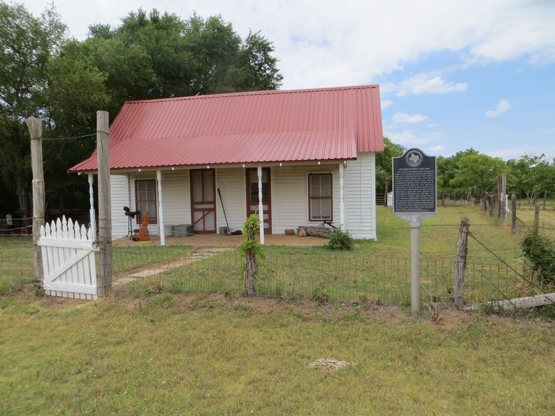
Photographed by Bill Kirchner, June 7, 2017
2. Cottonwood Mott Line Camp Marker
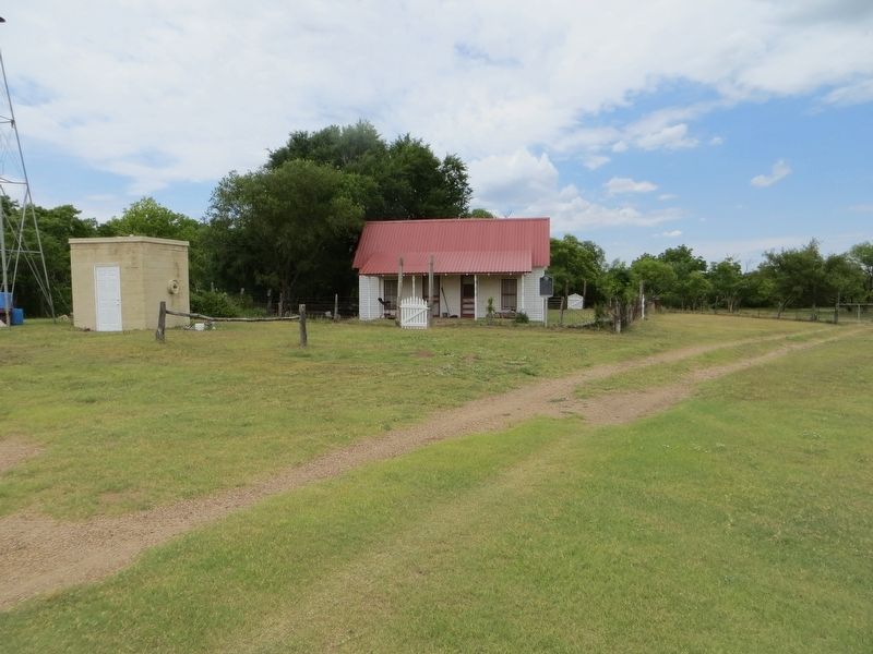
Photographed by Bill Kirchner, June 7, 2017
3. Cottonwood Mott Line Camp
Credits. This page was last revised on June 23, 2017. It was originally submitted on June 23, 2017, by Bill Kirchner of Tucson, Arizona. This page has been viewed 597 times since then and 30 times this year. Photos: 1, 2, 3. submitted on June 23, 2017, by Bill Kirchner of Tucson, Arizona.
