Near Galax in Grayson County, Virginia — The American South (Mid-Atlantic)
Grayson County Virginia
⎯⎯⎯
North Carolina
Photographed by J. J. Prats, June 9, 2017
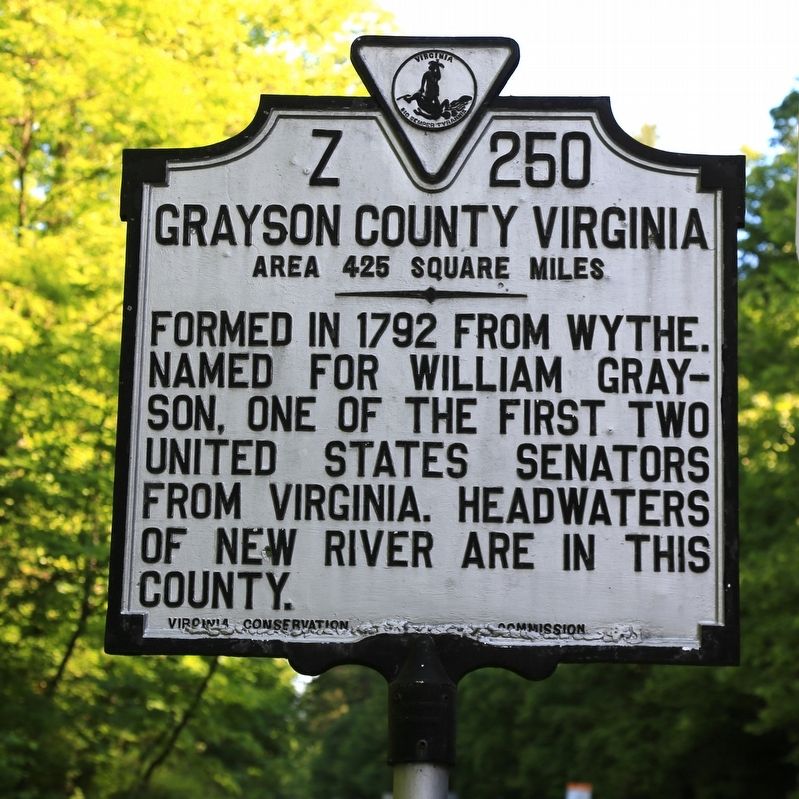
1. Grayson County Virginia Face of Marker
Grayson County Virginia. Area 425 square miles. Formed in 1792 from Wythe. Named for William Grayson, one of the firsrt two United States Senators from Virginia. Headwaters of the New River are in this county.
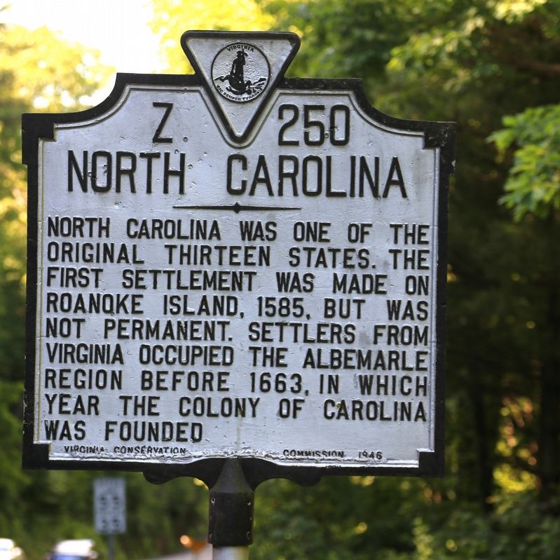
North Carolina. North Carolina was one of the original thirteen states. The first settlement was made on Roanoke Island, 1585, but was not permanent. Settlers from Virginia occupied the Albemarle region before 1663, in which year the colony of Carolina was founded.
Erected 1946 by Virginia Conservation Commission. (Marker Number Z-250.)
Topics and series. This historical marker is listed in this topic list: Political Subdivisions. In addition, it is included in the Virginia Department of Historic Resources (DHR) series list. A significant historical year for this entry is 1663.
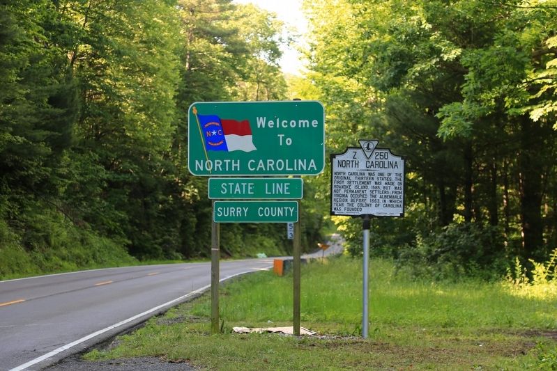
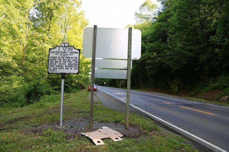
Location. 36° 33.701′ N, 80° 53.908′ W. Marker is near Galax, Virginia, in Grayson County. It is on Skyline Highway (Virginia Route 89) 0.7 miles south of Blue Ridge Parkway at the state line, on the right when traveling south. Touch for map. Marker is in this post office area: Galax VA 24333, United States of America. Touch for directions.

Regionally,
this page online
Other nearby markers. At least 8 other markers are within 7 miles of this marker, measured as the crow flies: Blue Ridge Parkway (approx. 0.7 miles away in North Carolina); Fox Hunters Paradise (approx. 1.7 miles away in North Carolina); Jesse Franklin (approx. 4.1 miles away in North Carolina); Old Saddle Mountain Baptist Church Veterans Memorial (approx. 4.4 miles away in North Carolina); Fries (approx. 6.4 miles away); Galax (approx. 6.8 miles away); Veterans Memorial (approx. 6.9 miles away); An Early Water System Before Electricity Was Available (approx. 6.9 miles away). Touch for a list and map of all markers in Galax.
Photographed by J. J. Prats, June 9, 2017
2. North Carolina Face of Marker
Photographed by J. J. Prats, June 9, 2017
3. Grayson County Virginia / North Carolina Marker
Photographed by J. J. Prats, June 9, 2017
4. Grayson County Virginia / North Carolina Marker
Credits. This page was last revised on July 7, 2021. It was originally submitted on June 23, 2017, by J. J. Prats of Powell, Ohio. This page has been viewed 607 times since then and 49 times this year. Photos: 1, 2, 3, 4. submitted on June 23, 2017, by J. J. Prats of Powell, Ohio.
