Criglersville in Madison County, Virginia — The American South (Mid-Atlantic)
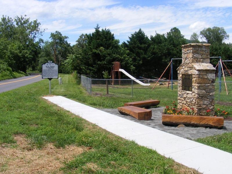
Blue Ridge Turnpike
Erected 2016 by Department of Historic Resources. (Marker Number JE-7.)
Topics and series. This historical marker is listed in these topic lists: Industry & Commerce • Roads & Vehicles. In addition, it is included in the Virginia Department of Historic Resources (DHR) series list. A significant historical year for this entry is 1853.
Location. 38° 27.644′ N, 78° 18.209′ W. Marker is in Criglersville, Virginia, in Madison County. Marker is on Old Blue Ridge Turnpike (Virginia Route 670) 0.2 miles west of Poor House Road (Virginia Route 642), on the right when traveling north. Located adjacent to the Blue Ridge Heritage Project Memorial, in front of the old Criglersville Elementary School. Touch for map. Marker is at or near this postal address: 1120 Old Blue Ridge Turnpike, Madison VA 22727, United States of America. Touch for directions.
Other nearby markers. At least 8 other markers are within 7 miles of this marker, measured as the crow flies. A Camp of Stonewall Jackson’s (approx. 0.7 miles away); Hebron Lutheran Church (approx. 5.2 miles away); Jackson’s March to Fredericksburg (approx. 5.9 miles away); James L. Kemper Residence (approx. 6 miles away); Herbert Hoover (approx. 6.1 miles away); Madison County Courthouse (approx. 6.1 miles away); Cpl. Clinton Greaves (1855-1906) (approx. 6.1 miles away); Madison County Confederate Dead (approx. 6.1 miles away).
More about this marker. Marker was officially dedicated on June 17, 2017, although it had been erected several months earlier.
Credits. This page was last revised on July 8, 2021. It was originally submitted on June 24, 2017, by Pete Payette of Orange, Virginia. This page has been viewed 1,577 times since then and 113 times this year. Photos: 1, 2. submitted on June 24, 2017, by Pete Payette of Orange, Virginia. • Bernard Fisher was the editor who published this page.

