Kilauea
Rising Smoke Cloud
| — | Hawaii Volcanoes National Park | — |
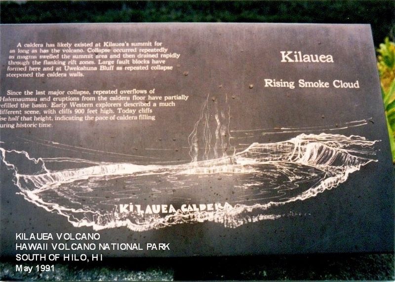
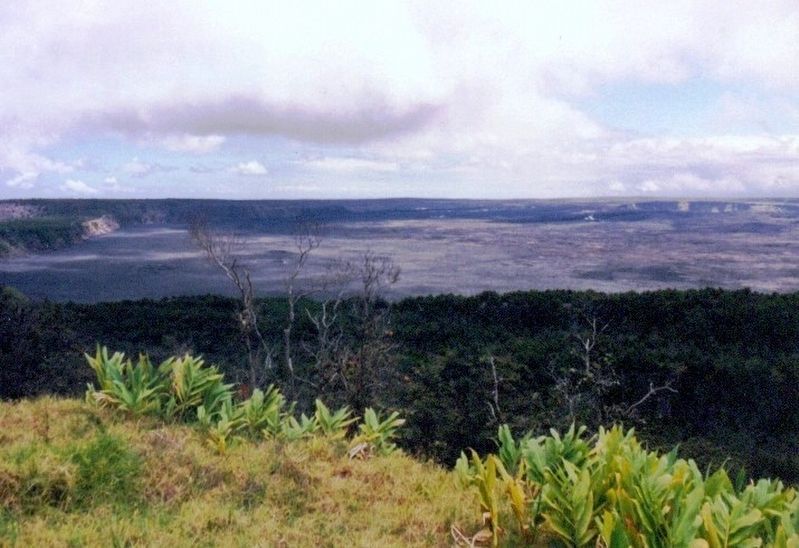
A caldera has likely existed at Kilauea’s summit for as long as has the volcano. Collapse occurred repeatedly as magma swelled the summit area and then drained rapidly through the flanking rift zones. Large fault blocks have formed here and at Uwekahuna Bluff as repeated collapse steepened the caldera walls.
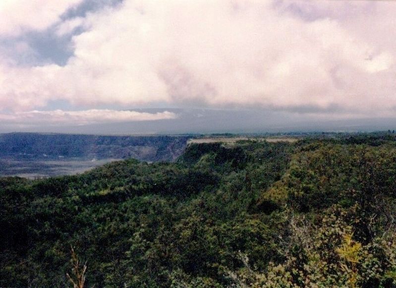
Since the last major collapse, repeated overflows of Halemaumau and eruptions from the caldera floor have partially refilled the basin. Early Western explorers described a much different scene, with cliffs 900 feet high. Today cliffs are half that height, indication the pace of caldera filling during historic time.
(Inscription at the bottom of the image) Kilauea Caldera
Erected by National Park Service, U.S. Department of the Interior.
Topics. This historical marker is listed in this topic list: Natural Features.
Location. 19° 25.771′ N, 155° 15.436′ W. Marker is in Volcano, Hawaii, in Hawaii County. It is on Crater Rim Drive. This marker is located at the Kilauea Visitor Center in the Hawaii Volcanoes National Park. Touch for map. Marker is at or
this page online

Regionally, this marker is in the Volcanic Hawaii. Globally, it is in North America, in Polynesia, in the Pacific Ocean, in North Pacific, on the Pacific Rim, in the Western Hemisphere, in the Western World, and in the Anglosphere.
Other nearby markers. At least 8 other markers are within 3 miles of this marker, measured as the crow flies: Countless are the Accomplishments of Roosevelt's Trusty "Tree Army" (a few steps from this marker); Stephen Tyng Mather (a few steps from this marker); Hawaii Volcanoes National Park (a few steps from this marker); The 'Ōhi'a Wing will soon be home to the park's collection of artwork and artifacts (about 300 feet away, measured in a direct line); Site of Hawaiian Volcano Observatory (about 400 feet away); The Volcano House reigns as one of America's great lodges (about 400 feet away); Explosive eruptions rock Kīlauea volcano (approx. 1.8 miles away); Mauna Loa (approx. 2.1 miles away). Touch for a list and map of all markers in Volcano.
Credits. This page was last revised on June 12, 2020. It was originally submitted on June 27, 2017, by Don Morfe of Baltimore, Maryland. This page has been viewed 418 times since then and 19 times this year. Photos: 1, 2, 3. submitted on June 27, 2017, by Don Morfe of Baltimore, Maryland. • Bill Pfingsten was the editor who published this page.
