Dickens in Dickens County, Texas — The American South (West South Central)
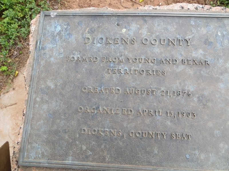
Dickens County
Photographed by Bill Kirchner, June 7, 2017
1. Dickens County Marker
Territories
Created August 21, 1876
Organized April 15, 1903
Dickens, County Seat
Erected 1936 by State of Texas. (Marker Number 1219.)
Topics and series. This historical marker is listed in this topic list: Settlements & Settlers. In addition, it is included in the Texas 1936 Centennial Markers and Monuments series list. A significant historical date for this entry is April 15, 1903.
Location. 33° 37.29′ N, 100° 50.177′ W. Marker is in Dickens, Texas, in Dickens County. It is on 5th Street east of Montgomery Street, on the right when traveling east. Touch for map. Marker is in this post office area: Dickens TX 79229, United States of America. Touch for directions.

Regionally, this marker is on Texas’ South Plains. It is also on the American Great Plains and specifically on the Southern Plains. Globally, it is in North America, a Gulf of Mexico state, the Western Hemisphere, the Western World, and the Anglosphere. Historically, it finds itself in what was once New Spain, the Republic of Texas, and one of the Confederate States of America.
Other nearby markers. At least
this page online
Photographed by Bill Kirchner, June 7, 2017
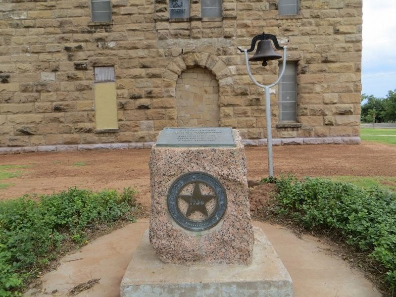
2. Dickens County Marker
Photographed by Bill Kirchner, June 7, 2017
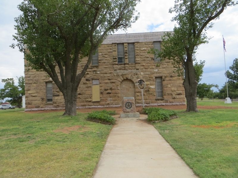
3. Dickens County Marker
Credits. This page was last revised on June 27, 2017. It was originally submitted on June 27, 2017, by Bill Kirchner of Tucson, Arizona. This page has been viewed 725 times since then and 43 times this year. Photos: 1, 2, 3. submitted on June 27, 2017, by Bill Kirchner of Tucson, Arizona.
