Near Crosbyton in Crosby County, Texas — The American South (West South Central)
Big Four School
Photographed by Bill Kirchner, June 7, 2017
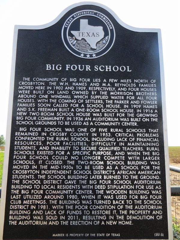
1. Big Four School Marker
Big Four School was one of five rural schools that remained in Crosby County in 1953. Critical problems confronted the rural school, including lack of financial resources, poor facilities, difficulty in maintaining students, and inability to secure qualified teachers. Rural schools existed for a specific purpose, and when the big four school could no longer compete with larger schools, it closed. The two-room school building was moved in the mid-1950s to be used as a school for the Crosbyton Independent School District’s African
this page online
Erected 2015 by Texas Historical Commission. (Marker Number 18086.)
Topics and series. This historical marker is listed in this topic list: Education. In addition, it is included in the Windmills series list. A significant historical year for this entry is 1902.
Location. 33° 44.474′ N, 101° 14.937′ W. Marker is near Crosbyton, Texas, in Crosby County. It is on Farm to Market Road 651 north of Farm to Market Road 1471, on the left when traveling north. Touch for map. Marker is in this post office area: Crosbyton TX 79322, United States of America. Touch for directions.

Regionally,
Photographed by Bill Kirchner, June 7, 2017
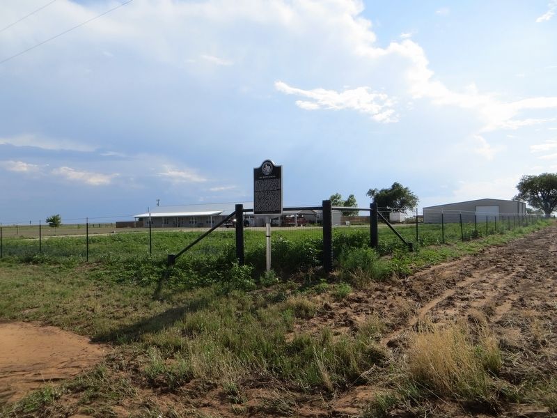
2. Big Four School Marker
Other nearby markers. At least 8 other markers are within 6 miles of this marker, measured as the crow flies: The Mount Blanco Community (approx. 3.7 miles away); G. W. Smith Home (approx. 5.3 miles away); Citizens National Bank (approx. 5.6 miles away); Henry Clay Smith (approx. 5.7 miles away); Crosby County (approx. 5.7 miles away); Crosbyton (approx. 5.7 miles away); a different marker also named Crosby County (approx. 5.7 miles away); The Rock House (approx. 5.7 miles away). Touch for a list and map of all markers in Crosbyton.
Photographed by Bill Kirchner, June 7, 2017
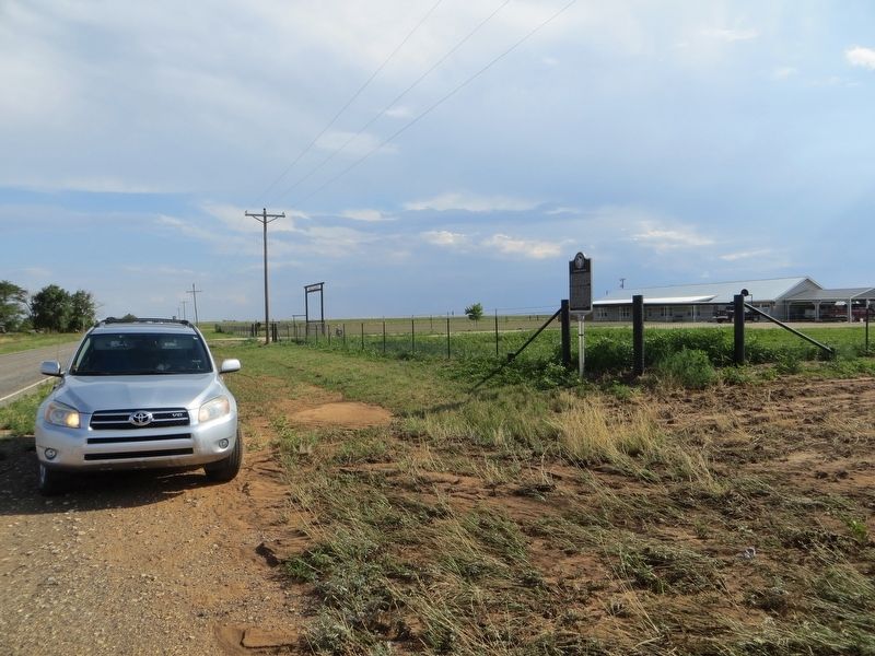
3. Big Four School Marker
View south on highway FM-651.
Credits. This page was last revised on June 27, 2017. It was originally submitted on June 27, 2017, by Bill Kirchner of Tucson, Arizona. This page has been viewed 945 times since then and 47 times this year. Photos: 1, 2, 3. submitted on June 27, 2017, by Bill Kirchner of Tucson, Arizona.
