
Middlesex Township near Carlisle in Cumberland County, Pennsylvania — The American Northeast (Mid-Atlantic)
Obstacle Course
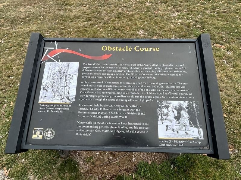
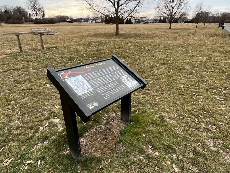
The World War II-era Obstacle Course was part of the Army’s effort to physically train and prepare recruits for the rigors of combat. The Army’s physical training regimen consisted of different activities including military drill, calisthenics marching, rifle exercises, swimming, personal contests and group athletics. The Obstacle Course was the primary method for developing a recruit’s abilities in running, jumping and climbing.
An Instructor would demonstrate the correct method for overcoming one obstacle. The unit would practice the obstacle 3 or 4 times, and then run 100 yards. This process was repeated each day on a different obstacle until all the obstacles on the course were covered. Once the unit had received training on all obstacles, the Soldiers would run the full course. As they developed proficiency, the soldiers would run the course against time, and eventually carry equipment through the course including rifles and light packs.
In a memoir held by the U.S. Army Military History Institute Charles E. Bennett as a Sergeant with the Reconnaissance Platoon, 82nd Infantry Division (82nd Airborne Division)
this page online
“Once in a while on the obstacle course I was heartened to see our commanding general, Omar Bradley, and his assistant and successor, Gen. Matthew Ridgeway, take the course in their stride.”
Erected by U.S. Army Heritage and Education Center.
Topics. This historical marker is listed in this topic list: War, World II.
Location. 40° 12.233′ N, 77° 9.563′ W. Marker is near Carlisle, Pennsylvania, in Cumberland County. It is in Middlesex Township. It can be reached from Army Heritage Drive. Touch for map. Marker is in this post office area: Carlisle PA 17013, United States of America. Touch for directions.

Regionally, this marker is in South-Central Pennsylvania and in Greater Harrisburg. It is also in the American Northeast, in the Mid-Atlantic, in Appalachia, and specifically in Northern Appalachia. Globally, it is in North America, the Western Hemisphere, the Western World, and the Anglosphere. Historically, it finds itself in what was once the Haudenosaunee (Iroquois) Confederacy and also one of the original Thirteen Colonies.
Other nearby markers. At
Photographed by Larry Gertner, September 11, 2012
2. Obstacle Course Marker
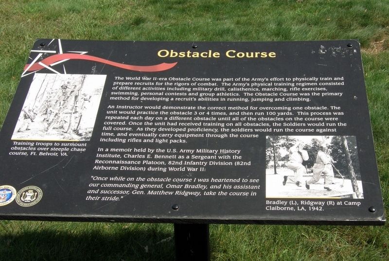
This is a previous iteration of the marker. While the information is identical, some of the formatting has changed from this version.
Other markers no longer nearby. Model 1857 Light 12 Pound Gun-Howitzer (was within shouting distance of this marker but has been confirmed missing); Bugler John Cook (was within shouting distance of this marker but has been confirmed missing); A Toll Paid in Blood (was within shouting distance of this marker but has been confirmed missing); The Carlisle Forge (was within shouting distance of this marker but has been replaced with another marker now near it).
Photographed by Larry Gertner, September 11, 2012
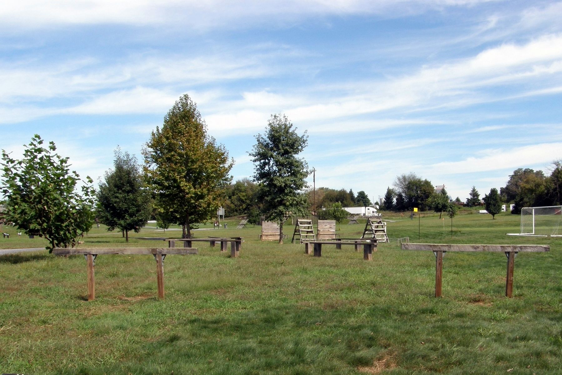
4. The Obstacle Course
Why this is located so far away from the WWII Core Area is unexplained.
Credits. This page was last revised on March 2, 2023. It was originally submitted on July 1, 2017, by Larry Gertner of New York, New York. This page has been viewed 662 times since then and 38 times this year. Photos: 1. submitted on March 2, 2023, by Devry Becker Jones of Washington, District of Columbia. 2. submitted on July 1, 2017, by Larry Gertner of New York, New York. 3. submitted on March 2, 2023, by Devry Becker Jones of Washington, District of Columbia. 4. submitted on July 1, 2017, by Larry Gertner of New York, New York. • Bill Pfingsten was the editor who published this page.
