Near Abingdon in Washington County, Virginia — The American South (Mid-Atlantic)
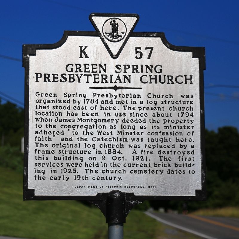
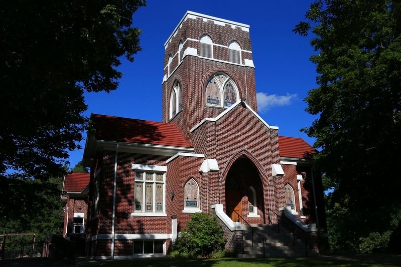
Green Spring Presbyterian Church
Erected 2001 by Department of Historic Resources. (Marker Number K-57.)
Topics and series. This historical marker is listed in this topic list: Churches & Religion. In addition, it is included in the Virginia Department of Historic Resources (DHR) series list. A significant historical year for this entry is 1784.
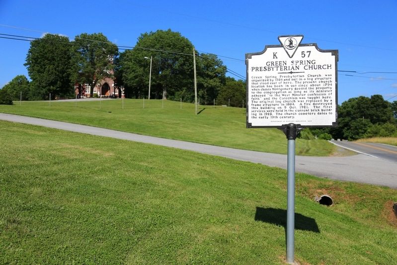
Location. 36° 38.151′ N, 81° 59.892′ W. Marker is near Abingdon, Virginia, in Washington County. Marker is at the intersection of Green Springs Church Road (County Route 665) and Green Spring Road (Virginia Route 75) on Green Springs Church Road. Touch for map. Marker is at or near this postal address: 22007 Green Springs Church Rd, Abingdon VA 24211, United States of America. Touch for directions.
Other nearby markers. At least 8 other markers are within 5 miles of this marker , measured as the crow flies. King's Mountain Men (approx. 4.6 miles away); Battle of Kings Mountain (approx. 4.7 miles away); The Muster Grounds (approx. 4.7 miles away); Brigadier General William Edmondson “Grumble” Jones, CSA Rock (approx. 4.7 miles away); Inciting Deadly Resistance (approx. 4.7 miles away); The Chase Begins (approx. 4.7 miles away); Revolutionary War Muster Ground (approx. 4.7 miles away); The Story of Lt. Billy Webb (approx. 4.9 miles away). Touch for a list and map of all markers in Abingdon.
Credits. This page was last revised on February 2, 2023. It was originally submitted on July 1, 2017, by J. J. Prats of Powell, Ohio. This page has been viewed 415 times since then and 51 times this year. Photos: 1, 2, 3. submitted on July 1, 2017, by J. J. Prats of Powell, Ohio.


