Bywater in New Orleans in Orleans Parish, Louisiana — The American South (West South Central)
Saint Vincent De Paul Church
Photographed by Cajun Scrambler, June 24, 2017
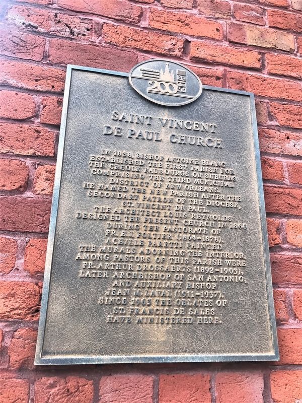
1. St. Vincent De Paul Church Marker
In 1838, Bishop Antoine Blanc established the first parish for the Creole Faubourgs or suburbs comprising the Third Municipal District of New Orleans. He named the new parish after the secondary patron of the Diocese, St. Vincent De Paul. The architect Louis Reynolds designed the present church in 1866 during the pastorate of Fr. E.J. Foltier (1864-1878). Achille Paretti painted the murals adorning the interior. Among pastors of this parish were Fr. Arthur Drossaerts (1892-1903), later Archbishop of San Antonio, and auxiliary Bishop Jean M. Laval (1911-1937). Since 1963 The Oblates of St. Francis De Sales have ministered here.
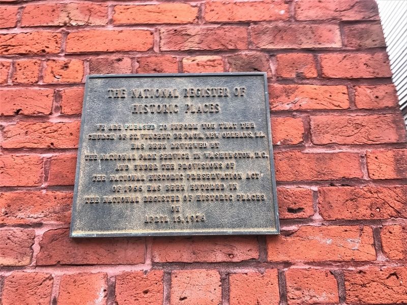
Second Marker
Historic Places
We are pleased to inform you that the church of St. Vincent De Paul, New Orleans, LA. has been reviewed by The National Park Service in Washington, D.C. and under the provisions of the National Historic Provisions Act of 1966 has been entered in the National Register of Historic Places on April 13, 1976.
Erected by Archdiocesan Bicentennial Commission.
Topics. This historical marker is listed in this topic list: Religion & Religious Structures.
Location. 29° 57.882′ N,
this page online

Regionally, this marker is in one of the River Parishes. It is also in the American South, specifically in the Deep South, on the Gulf Coast, and in the Great River Road Region. Globally, it is in North America, a Gulf of Mexico state, the Western Hemisphere, the Western World, and the Anglosphere. Historically, it finds itself in what was once New Spain, the Viceroyalty of New France, the territory of the Mississippian Culture, the Louisiana Purchase, one of the Confederate States of America, and the Antebellum South.
Other nearby markers. At least 8 other markers are within walking distance of this marker: Plessy v. Ferguson (approx. 0.2 miles away); Ninth Ward WWI Memorial (approx. half a mile away); Annunciation Church (approx. 0.6 miles away); Mello Residence (approx. 0.6 miles
Photographed by Cajun Scrambler, June 24, 2017
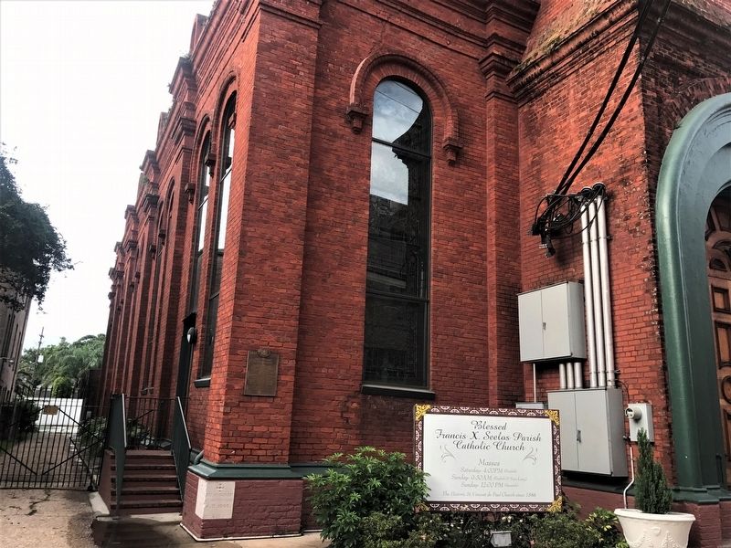
2. St. Vincent De Paul Church Marker
More about this marker. Dauphine Street in this location, is ONE WAY eastbound.
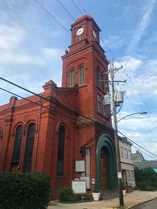
Regarding Saint Vincent De Paul Church. Church and parish are now known as Blessed Francis Seelos Church and Parish.
Photographed by Cajun Scrambler, June 24, 2017
3. St. Vincent De Paul Church
Photographed by Cajun Scrambler, June 24, 2017
4. St. Vincent De Paul Church NRHP Marker
Credits. This page was last revised on February 12, 2023. It was originally submitted on July 2, 2017, by Cajun Scrambler of Assumption, Louisiana. This page has been viewed 1,038 times since then and 107 times this year. Photos: 1, 2, 3, 4. submitted on July 2, 2017.
